
Spiti Valley Road Status 2026: Open Routes, Closed Roads & Best Route Today
Last verified update: September 7, 2026
Spiti status today: Open. Both routes are through.
Safest route today: Shimla-Kinnaur-Kaza still wins on acclimatisation, but it is no longer the low-risk default it is in May and June. In monsoon, both approaches carry real landslide exposure. The question now is which day you cross, not which route you pick.
Manali-Kaza status: Open, and through since late May. The last formal vehicle-class advisory on record specified light 4x4, and we have not seen a notification lifting it. By early September the surface is normally packed down and far better than early June, but ground clearance still decides this road. Confirm same-day.
Full circuit status: Open. Both halves are working. Keep the Manali leg flexible around the active rain spells.
Chandratal status: Open, camps fully operational since mid-June. Check Chandratal road status separately, because the Batal diversion has its own weather.
Weather note: The southwest monsoon reached Himachal on June 30, 2026 and has stayed active through August and into September, though it is now weakening as it heads toward withdrawal. The state is in a relative lull of light showers, but the IMD has a fresh, more widespread spell of rain likely from around September 11. Kaza sits in a rain shadow and stays comparatively dry. The approach corridors do not.
Quick Answer: Is Spiti Valley Open Today?
Yes, Spiti Valley is open today, and both routes are working. On the State Emergency Operation Centre report of September 5, Kinnaur was not among the districts reporting blocked roads and Lahaul and Spiti had just one blocked link road, so both approach corridors were open. The heavy damage sat in Mandi and Kullu.
But the useful question in monsoon is not open or closed. It is what the weather does to your approach road while you are up there.
The thing that decides your Spiti trip right now is no longer snow. It is rain. And that changes the route advice you will find on most pages, including the earlier version of this one.
In May and early June, Shimla-Kinnaur-Kaza is the obvious safe answer because it does not depend on Kunzum Pass being clear. In monsoon, that logic weakens. Kinnaur's NH-5 is one of the most landslide-prone highway corridors in Himachal, and it has no bypass. It blocks after heavy rain, and Kinnaur had a very wet July that repeatedly hit NH-5, though August was much drier.
Meanwhile the Manali-Kaza route via Kunzum Pass has been through since late May, but it runs through Kullu, which has carried among the highest road-blockage counts in the state all monsoon.
So the honest read: both routes are open, and neither is risk-free while the monsoon is still winding down. The Shimla side is still the better choice for acclimatisation and for anyone without a high-clearance vehicle. It is just not the automatic low-risk answer it is earlier in the season.
Even inside the rain shadow, Kaza feels the bigger spells. Right now the state is in a lull of light showers, with a fresh, more widespread spell expected from around September 11.
If your dates are flexible, aim for the drier windows between spells.
Talk to our Himachal team on WhatsApp for a same-day route check before you start driving.
Spiti Valley Road Status Today: Route by Route
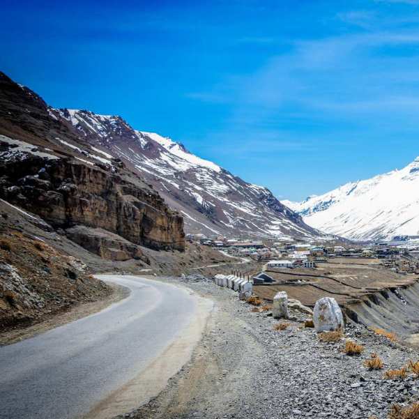
Shimla to Kaza (via Kinnaur): Open. Kinnaur was not among the districts reporting blocked roads on the SEOC report of September 5, and NH-5 is carrying traffic. This is still the better route for gradual altitude gain and for sedans. But it is the monsoon-exposed corridor: Maling Nala between Pooh and Nako, the Negulsari zone, and the Wangtu to Sumdo stretch are all active in heavy rain, and there is no alternative road. Link roads in the Rampur and Nichar belts can stay blocked even when the highway itself is open.
Manali to Kaza (via Atal Tunnel, Gramphu, Batal, Kunzum): Open, and through since late May. Read the vehicle-class question carefully. The last formal advisory on record is the late-May reopening, which specified light 4x4, and we have not seen a notification lifting it. The district status feed still carries a 4x4 and chain note on the Kunzum row, but that feed has a known lag, and a snow-chain requirement well into the open season is not a real condition. Treat it as an advisory that was never refreshed rather than a live restriction, and confirm with a local driver on the day. What is not in doubt: the roughly 47 km Gramphu-Batal stretch stays rough, with broken surfaces, loose gravel, and active water crossings. In monsoon those crossings are rain-fed rather than snowmelt-fed, which makes them less predictable, not more. Kullu district had 15 blocked roads on the September 5 report, spread across its subdivisions including Manali, and has been among the worst-hit in the state all monsoon.
Keylong to Kaza / Gramphu-Kaza-Sumdo highway: Open. This is the same road as the Manali-Kaza connection. BRO reopened it via Kunzum in the second half of May and it has been carrying traffic since. The official Lahaul-Spiti district page at hplahaulspiti.nic.in has a known lag and has shown this stretch as closed well into the open season, so check its last-updated stamp before you act on it.
Chandratal diversion (Batal to Chandratal): Open. The 14 km diversion cleared in June and the camps came online mid-month. By early September the surface is packed down and in far better shape than early June, but heavy rain can put water back across it within hours. Check our dedicated Chandratal road status guide for lake-specific updates.
Inner Spiti village roads around Kaza: Open and in their easiest condition of the year. Roads to Key Monastery, Kibber, Chicham, Langza, Hikkim, Komic, and Pin Valley are all straightforward through the summer. Local repairs or a heavy burst can close an individual village road temporarily, so check in Kaza before heading out.
Chitkul and Kinnaur detours: Open when NH-5 is through. The Sangla-Chitkul stretch is a known rockfall zone and deserves a same-day check in monsoon rather than an assumption.
One thing to understand clearly: open does not always mean safe on any given day. A road that is open at 8 AM can be shut by 2 PM after a heavy afternoon burst. Road status and vehicle suitability are also two separate questions.
Why Different Websites Show Different Spiti Road Status
This is the question we hear most often. "One website says Spiti is open, another says it is closed. Which one is right?"
Usually both are right, but they were updated at different times.
The Gramphu-Kaza-Sumdo highway via Kunzum reopened in the second half of May 2026 for light 4x4 vehicles, and conditions have improved steadily since. The BRO also completed the Manali-Leh highway connection on May 12, 2026, with the annual Golden Handshake ceremony at Sarchu, confirming regional clearance was on schedule this year.
The official Lahaul-Spiti district road status page at hplahaulspiti.nic.in is the source most often quoted back to us, and it is the one to read most carefully. It carries a known lag and has shown Keylong to Kaza as closed well into the open season. A page carrying a stale date is not telling you about today.
The same applies to the vehicle-class notes. A row that still asks for snow chains at Kunzum months into the open season is not describing today's conditions. It is describing the day the road first came through, and nobody has updated it since. This is worth understanding rather than arguing with, because it is the single biggest source of confusion on this route.
This is not unusual. Government road status pages in remote districts can take weeks to refresh. News outlets and local drivers report ground changes faster. Neither source is lying. They just operate on different timelines.
Instagram reels, Google Maps, and old travel blogs add another layer. A reel from September 2025 showing smooth Spiti roads tells you nothing about a wet week in 2026. Google Maps does not account for road quality, water crossings, or the fact that a 4-hour section might take 8 hours after overnight rain.
The rule is simple. Always check the date of the source. If it is more than two or three days old in monsoon season, treat it as background, not a live update. And when a written advisory and a working driver disagree, ring the driver.
Best Route to Spiti Today Based on Your Traveller Type
Best route for families and first-timers
Go with Shimla-Kinnaur-Kaza, and build in a buffer day. This route gains altitude gradually over three to four days, so your body adjusts naturally. There are proper towns along the way for fuel, food, and stays. You pass through Narkanda, Rampur, Kalpa, Nako, and Tabo before reaching Kaza.
The buffer day matters more in monsoon than in June. The route is open, but a landslide in Kinnaur can hold you for six to twenty-four hours, and a family itinerary with no slack turns that into a ruined trip rather than an extra night in Kalpa.
Best route for sedan travellers
Stick to Shimla-Kinnaur-Kaza, and only in settled weather with careful driving. The road is paved through most of its length and you can manage it in a sedan if you go slowly through the rough patches near Reckong Peo and Nako.
Sedans should avoid the Gramphu-Batal stretch, and this is the one piece of advice on this page that does not depend on how you read the advisory. It is not sedan-friendly at the best of times, and in a wet week the water crossings can be deep enough to stall a low car. If you are in a sedan, take the Shimla side and stop reading road notices.
Best route for bikers
Both routes work for experienced riders through the monsoon, but only after same-day confirmation. Water crossings on a loaded motorcycle are a different challenge than in a car, and the Gramphu-Batal crossings deepen through the afternoon.
Do not ride the Manali side on a day when heavy rain is forecast on the Kullu side. If this is your first high-altitude ride, the Shimla approach is more forgiving and still gives you a full Spiti experience.
Best route for 4x4 and SUV travellers
You have the most flexibility, and you are the one category for whom the advisory question is irrelevant. Both routes are open as of September 7, 2026, and high-clearance SUVs like the Scorpio, Bolero, Thar, and Fortuner are well suited to either.
But flexibility does not mean recklessness. A 4x4 handles rough terrain. It does not handle a closed road, a washed-out bridge, or a swollen nullah. Same-day checks still apply.
Best route for senior citizens or kids
Take a slower Shimla-side itinerary with extra acclimatisation stops. Spend a night at Narkanda or Rampur before climbing higher. Spend two nights in Kalpa or Tabo before reaching Kaza.
Watch the active rain spells closely if you are travelling with elderly parents or small children. A fresh spell is expected from around September 11. Being held up by a landslide is an inconvenience for a group of friends. It is a genuine problem for someone who needs regular medication or a predictable routine.
Browse our Spiti Valley packages or Kinnaur tour packages for itineraries built around safe routing and proper acclimatisation.
Latest 2026 Update: What Has Changed So Far?
The season opened on schedule. BRO reopened the Gramphu-Kaza-Sumdo highway via Kunzum Pass in the second half of May 2026 for light 4x4 vehicles, following the pattern set by 2024 and 2025. For reference: in 2025, Kunzum opened on May 24 with wider access about two weeks later; in 2024, the opening came in the first week of June; in 2022, a record early opening on May 3. The Atal Tunnel, operational since October 2020, has shifted opening dates roughly two to three weeks earlier than the pre-2020 pattern.
By early July, both approaches to Spiti were working normally. Whether the formal 4x4 restriction was ever lifted this season is genuinely unclear. No notification says so, and the district feed still carries it. But that feed lags, and its Kunzum row still asks for snow chains, which is not a real condition in summer. In every recent season the restriction has eased within a fortnight of the road coming through. Read it as an advisory nobody refreshed rather than a live restriction, and check with a driver on the day.
What has changed since is the weather.
The southwest monsoon entered Himachal on June 30, 2026 and spread across the state within a day. The first weeks were rough. By July 3, a cloudburst in the Nichar subdivision of Kinnaur sent a flash flood and debris across NH-5, and blocked roads across the state ran into the dozens. Through the first half of July, statewide blocked-road counts swung with the rain, peaking at 69 on July 13 with Kullu alone accounting for 38.
The monsoon stayed active into August, then began to ease through early September. On the SEOC report of September 5, 85 roads were blocked across the state, with Mandi (45) and Kullu (15) worst-hit, and Kangra, Solan, Sirmaur, Una and Shimla carrying the rest. Lahaul and Spiti was down at one, and Kinnaur was not on the blocked list at all. Statewide counts swung between roughly 109 and 157 through August as spells came and went, then eased into the 80s and 90s by early September.
Lahaul and Spiti has stayed almost entirely clear through all of this. That is the rain shadow doing its work. Across the season Lahaul and Spiti has recorded the state's biggest rainfall deficit, while Kullu and Shimla ran above normal. Kinnaur had a very wet July, when NH-5 took its worst hits, but a much drier August.
The IMD's Shimla centre has light to moderate rain continuing across the state, with a fresh, more widespread spell likely from around September 11. The monsoon is weakening overall as it heads toward its seasonal withdrawal.
Read practically: Spiti itself is fine. Your approach road is the variable, and the drier windows sit between the spells.
Why Spiti Road Status Changes So Fast
Spiti roads are not like plains highways. They sit between 10,000 and 15,000 feet. Snow, snowmelt, black ice, rockfall, landslides, water crossings, BRO repair work, and sudden administrative restrictions can all change the status within 24 hours.
A road that was clear at 8 AM can have a landslide blocking it by noon. A stretch that Google Maps shows as a 3-hour drive can take 7 hours after overnight rain.
In monsoon this speeds up. Through August the statewide count swung between roughly 109 and 157 blocked roads within days, without anyone announcing it, and it can go back the other way just as fast.
The paperwork moves at a different speed to the road. That is worth holding in your head: an advisory can stay frozen for six weeks while the road underneath it changes twice a day. Neither number is the truth on its own.
This is not meant to scare you. It is meant to prepare you. Spiti trips that go wrong almost always involve a traveller who relied on a week-old road update and found a different reality on the ground. The ones that go well are the ones where the traveller verified the morning they left.
Route 1: Shimla to Kaza Road Status in 2026
Current status of Shimla-Kinnaur-Kaza route
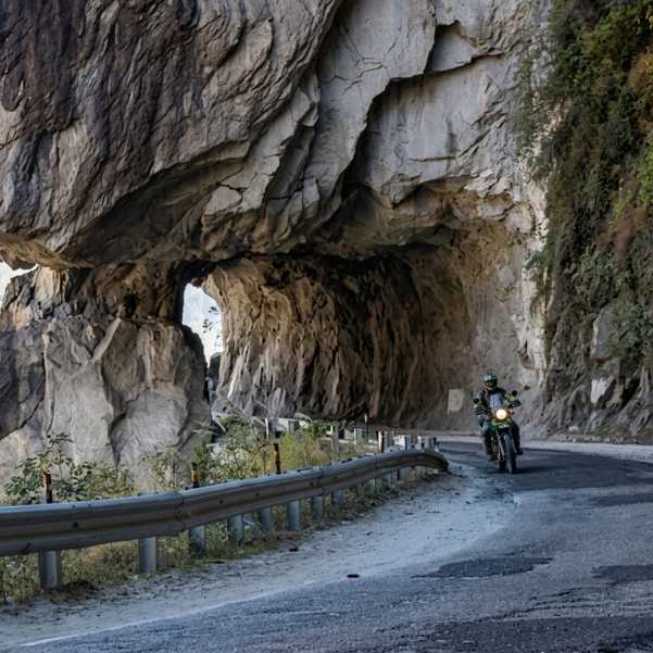
Open. Kinnaur was not among the districts reporting blocked roads on the SEOC report of September 5 and NH-5 is carrying traffic normally.
This remains the better route for acclimatisation and for ordinary vehicles. It avoids Kunzum Pass, gains altitude gradually, and passes through proper towns. What has changed since June is that it is now the corridor with the higher landslide exposure, not the lower. Plan it with a buffer day.
Main route
The route goes through Shimla, Narkanda, Rampur, Reckong Peo, Nako, Tabo, and Kaza. Each of these has basic accommodation, food, and fuel in the case of the larger towns. The drive from Shimla to Kaza takes three to four days at a comfortable pace. Total distance is approximately 420 km.
Difficult sections
The Maling Nala between Pooh and Nako is the most dangerous section on this route. It is an active landslide zone where closures lasting hours to days are common, especially during monsoon. BRO maintains a permanent crew here for debris clearing. There is no bypass route.
The Negulsari zone on NH-5 is another high-risk rockfall area, and one of 15 prioritised landslide-prone sites in Kinnaur. Others include Urni Dhank, Batsari, Nesang, and Purbani Julha.
The Cholling area near Nichar proved the point in early July. A flash flood struck at around 4 AM on July 3 after intense overnight rain raised the Miru Nallah, blocking NH-5 about 25 km from Reckong Peo and washing away sections of the Ribba-Kande link road. Several vehicles were damaged. No one was hurt. A separate debris flow hit the highway the next morning and was cleared within thirty minutes using heavy machinery.
That is the honest shape of Kinnaur in monsoon. Blockages are frequent, usually short, and occasionally long. The road reopens, but it reopens on the district administration's schedule, not yours.
The Mastrang-Reckong Peo belt has ongoing road widening. Single-lane sections and traffic holding patterns are common.
Between Nako and Sumdo the road narrows significantly. This is the transition from Kinnaur into Spiti, and it is also roughly where you leave the rain behind.
HRTC bus options on Shimla side
HRTC runs buses from Shimla to Reckong Peo (multiple daily services, 8 to 12 hours, approximately ₹430 to ₹650) and connecting buses from Reckong Peo to Kaza (2 daily services, 9 to 10 hours, approximately ₹400 to ₹700). The service normally runs through the summer season. Schedules shift when the highway is blocked, so confirm with HRTC before travel.
Best for
This route is best for families, first-timers, sedan travellers, and anyone who wants gradual acclimatisation without the stress of Kunzum Pass. Browse our Shimla tour packages or Kinnaur packages if you want this route handled for you.
Route 2: Manali to Kaza Road Status in 2026
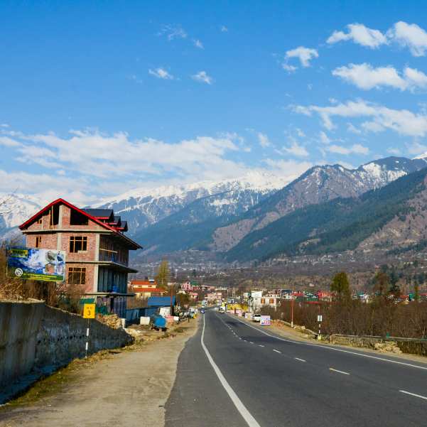
Current status of Manali-Kaza route
Open. BRO cleared Kunzum Pass from both sides in late May 2026 and the road has been carrying traffic since. No closure has been reported on the latest reports, and Lahaul and Spiti had just one blocked link road on the SEOC report of September 5.
On the vehicle-class question, be honest with yourself about what is actually known. The "light 4x4" wording came from the late-May reopening, when the highway first came through and conditions were at their worst. We have not seen a formal notification lifting it, and the district feed still carries a 4x4 and chain note on the Kunzum row. That same feed also asks for snow chains at Kunzum well into the open season, which tells you what it is worth. In every recent season the restriction has eased within a fortnight of the road opening, and by late summer the surface is normally packed down and far better than early June.
Our read: the paperwork is stale rather than the road being restricted. But we would not bet your holiday on our read. Ring a Manali or Kaza driver the morning you plan to cross, and if you are in anything low, take the Shimla side and skip the question entirely.
Kullu district is the other thing to watch. It has carried among the highest road-blockage counts in Himachal all monsoon, including in the Manali subdivision. NH-3 and the Atal Tunnel are open, but check the day's position before you commit.
Main route
The route goes through Manali, Atal Tunnel, Sissu, Koksar, Gramphu, Chhatru, Chhota Dhara, Batal, Kunzum Pass, Losar, and Kaza. The Atal Tunnel section is fast and smooth. Everything after Gramphu gets progressively rougher. Total distance is approximately 180 to 200 km. Travel time is 8 to 12 hours depending on conditions.
Difficult sections
Gramphu to Batal (~47 km) is the roughest stretch in the entire Spiti circuit. Broken surfaces, loose boulders, and active water crossings are standard. Water levels are lowest before 10 AM and get deeper through the afternoon as the day warms and any rain accumulates. Starting after 8 AM from Manali is asking for trouble. This stretch alone can take 4 to 5 hours.
Batal to Kunzum climbs through high-altitude terrain with thin air and deteriorating road quality. Altitude sickness can hit here, especially if you came straight from Manali without acclimatisation.
Kunzum to Losar is the final descent into Spiti. Better than the Gramphu-Batal stretch, but still rough by normal standards.
HRTC bus service on Manali side
HRTC runs daily buses from Manali to Kaza through the open season, typically June to October. Buses depart around 5:00 to 6:00 AM and reach Kaza by 3:00 to 5:00 PM. The fare is approximately ₹400 to ₹600. No advance booking; first-come, first-served at the bus stand. The bus stops at Gramphu, Batal, and Losar. There is no petrol pump between Manali and Kaza on this route, so fuel up in Manali. The service depends on the road being stable enough for buses, so confirm with HRTC rather than assuming it is running on your date.
Best for
This route is best for experienced drivers, bikers, high-clearance SUVs, and travellers with flexible itineraries. Browse our Manali tour packages or Sissu packages for trips that include this route.
Route 3: Full Spiti Circuit Road Status in 2026
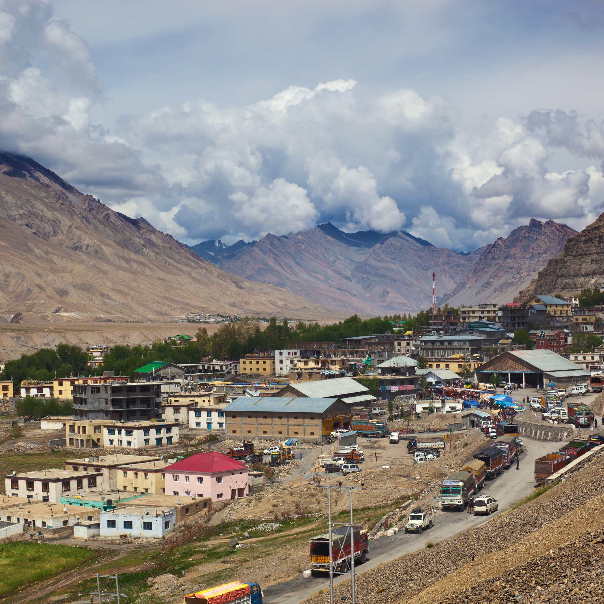
The full circuit needs both routes safely open. As of September 7, 2026, both are open and the circuit is running. This is the most reliable stretch of the year for it.
The recommended direction is Shimla, Kinnaur, Kaza, then exit via Batal or Chandratal toward Manali. This direction is better for two reasons.
First, acclimatisation. You gain altitude gradually through Kinnaur over several days, so by the time you reach Kunzum at 14,931 feet your body has adjusted. Going the other way throws you from 6,000 feet to 14,000 feet in a single day. That is how altitude sickness happens.
Second, and more relevant in monsoon: it puts the Kullu-side weather exposure at the end of your trip rather than the start. By the time you are ready to exit toward Manali, you will have a much better read on what the monsoon is doing, and a Shimla exit is always available as a fallback.
It also gives you days in Kaza to ask local drivers what the Gramphu side is actually doing, which is a far better answer than any website can give you before you leave home.
Keep the Manali exit flexible around the active spells. Do not lock hotels and return transport too tightly. For Chandratal specifics, our Chandratal 2026 opening guide covers lake access separately.
Route 4: Keylong to Kaza / Gramphu-Kaza-Sumdo Road Status
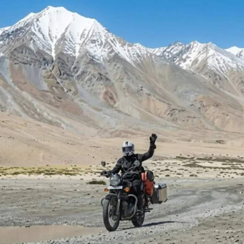
You will see this road called many things: Keylong to Kaza, Gramphu to Kaza, Sumdo-Kaza-Gramphu highway, Manali-Kaza route, or Lahaul-Spiti link road. They all refer to the same connection between Lahaul and Spiti through Gramphu, Batal, Kunzum Pass, and Losar.
As of September 7, 2026, it is open and has been since the second half of May. Lahaul and Spiti reported just one blocked link road on the SEOC report of September 5, and it was not on this highway.
The official district road status page at hplahaulspiti.nic.in has a known lag and has shown this stretch as closed well into the open season. Check its last-updated stamp and cross-check against ground sources. This is why the verification date matters more than any single source.
BRO has divided the road widening project for this highway into four sections (Sumdo-Kaza, Kaza-Losar, Losar-Batal, Batal-Gramphu). Work is in progress on the Kaza-Losar and Losar-Batal sections. At 4,000+ metres, improvements are slow.
Can You Start for Spiti Today from Delhi, Chandigarh, Manali, Shimla or Kaza?
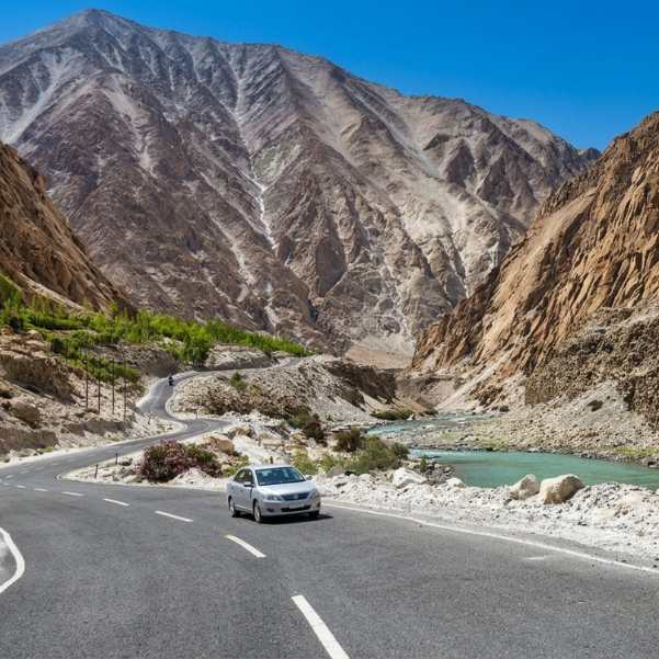
From Delhi today
Yes, with a buffer day built in. Check the Himachal weather forecast and Kinnaur road position before starting. Delhi to Shimla is roughly 7 to 8 hours by road, and Shimla to Kaza is another three to four days. Do not rely only on Google Maps timing. The app does not account for mountain road quality, construction zones, or a landslide clearance queue.
From Chandigarh today
Yes. The Shimla-Kinnaur-Kaza route is the sensible choice from Chandigarh. Reach Narkanda or Rampur on day one and continue from there. Watch the active rain spell if you are starting this week; a fresh spell is expected from around September 11.
From Shimla today
Yes. You are already on the safest-acclimatising side. Head to Narkanda or Rampur on day one, then Kalpa or Reckong Peo on day two, and continue into Spiti. Once you are past Nako you are into the rain shadow and the weather stops being the main variable.
From Manali today
Yes, if you start early, the morning check is clean, and your vehicle has proper ground clearance. The road has been through since late May, but Kullu has been among the worst-affected districts in the state all monsoon and the Gramphu-Batal water crossings deepen through the afternoon. Leave by 6 AM. Do not leave Manali for the Spiti side without a same-morning check with a driver who ran the route this week.
From Kaza today
Yes. If you are already in Kaza, local drivers and homestay owners can confirm inner road conditions, Kunzum status, and what the Gramphu side looks like. Ask at your homestay before planning day trips or your exit route. If heavy rain is forecast on the Kullu side and your exit is via Manali, consider going a day early rather than a day late.
Is Kunzum Pass Open in 2026?
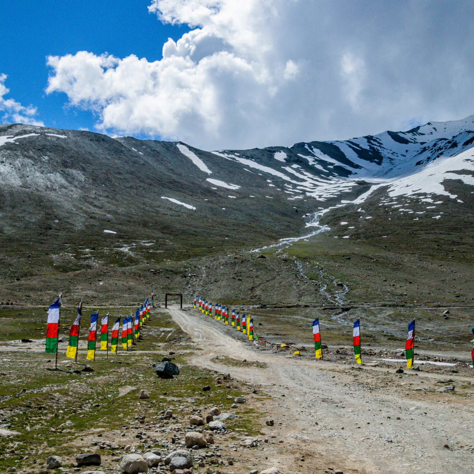
Kunzum Pass is the main gate between Lahaul and Spiti from the Manali side. It sits at around 4,551 m / 14,931 feet. When Kunzum is closed, the Manali-Kaza route is cut off entirely.
Kunzum opened for the 2026 season in late May after BRO cleared snow from both sides, and no closure has been reported on the latest reports. For reference, recent opening dates: May 24 in 2025, the first week of June in 2024, late May in 2023, and a record early May 3 in 2022.
The opening notice specified light 4x4 vehicles, and we have not seen it formally lifted. In every recent season that restriction has eased within a couple of weeks of the road coming through, and the district feed that still carries it also still asks for snow chains well into the open season, which is not a real condition. Take it as a stale notice rather than a live rule, but confirm with a driver rather than with us.
In peak season the pass itself is rarely the problem. The Gramphu to Batal stretch below it is the part that blocks in heavy rain. For more on approach road conditions, our Manali to Kaza road status guide covers it in detail.
Is Chandratal Road Open with Spiti Road Status?
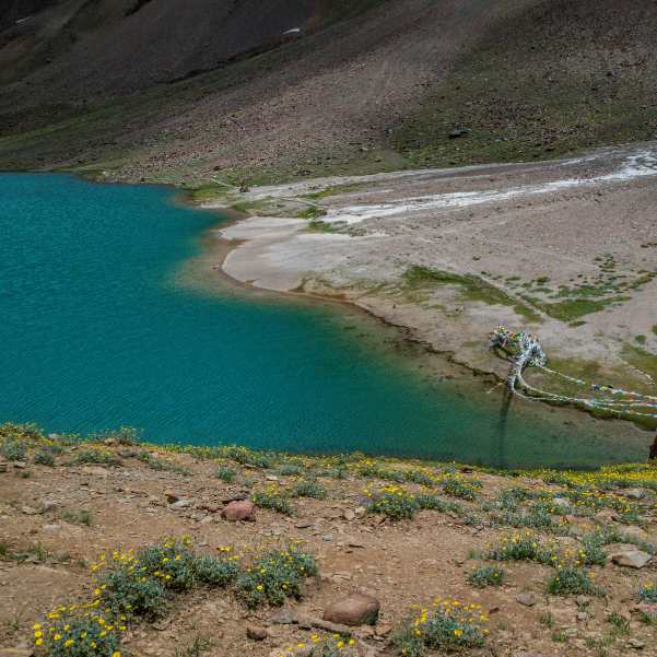
They are separate questions, though right now the answer to both happens to be yes.
Chandratal depends on the Batal to Chandratal diversion road, camp operations, and same-day local confirmation. The diversion is a separate 14 km stretch that cleared in June, and the camps came online through mid-June. Both are fully operational now.
This matters again from late September, when the sequence runs in reverse and the diversion and camps close before the pass does. And it matters in monsoon for a different reason: Chandratal has exactly one road in and out, and no mobile network. Getting stuck there during a heavy spell is a different problem to getting stuck in Kaza.
If your plan includes Chandratal, read our detailed Chandratal road status guide for lake-specific updates.
Inner Spiti Roads: Kaza to Key, Kibber, Chicham, Langza, Hikkim, Komic and Pin Valley
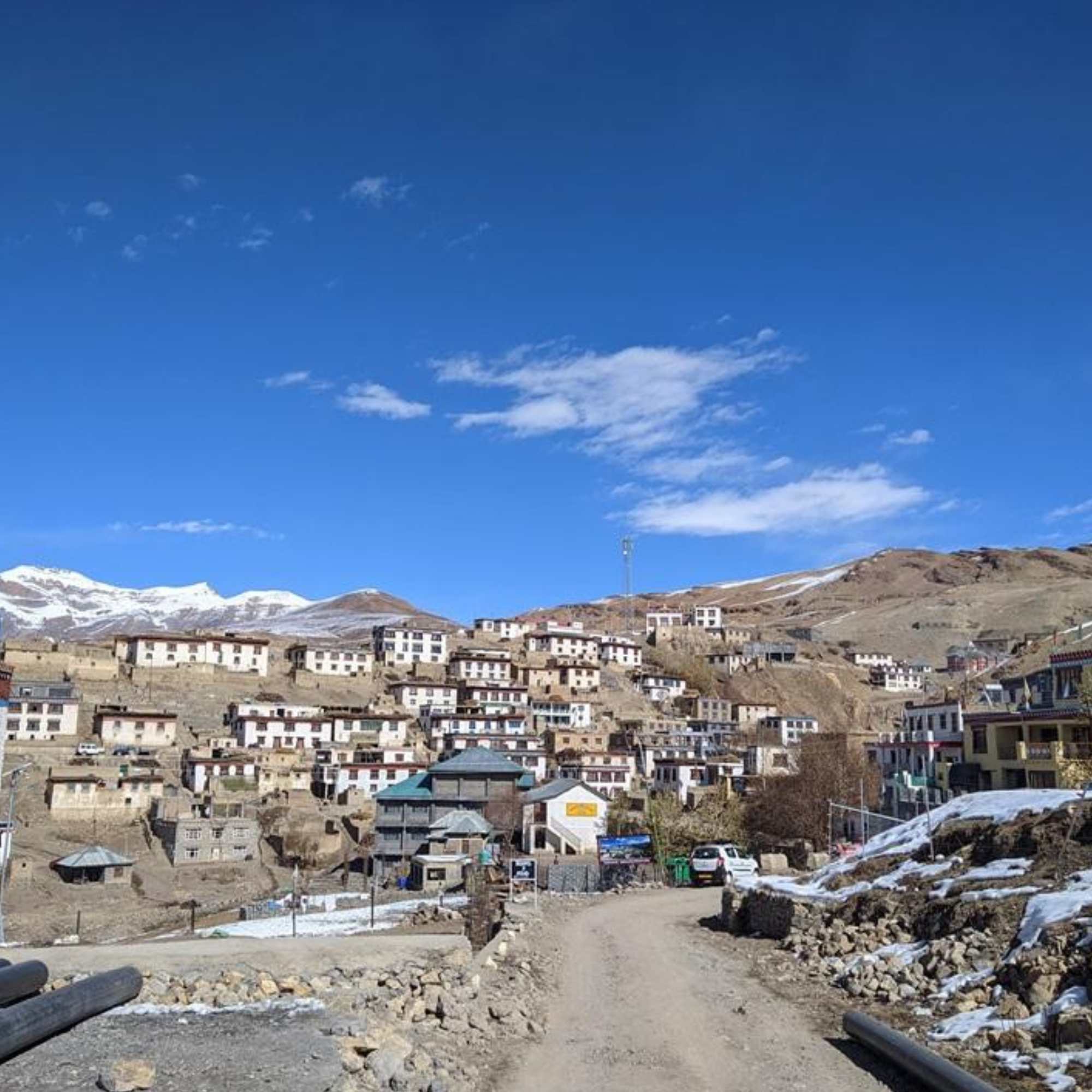
Inner Spiti roads are in their easiest condition of the year through the summer, and they are largely insulated from what the monsoon is doing to the approach corridors. These are shorter drives on relatively better surfaces.
Kaza to Key Monastery is a short drive of about 12 km on a decent road. Key is one of the most visited monasteries in Spiti and the road is usually well maintained.
Kaza to Kibber and Chicham takes you higher into the valley. Kibber sits at around 14,200 feet and the road to Chicham crosses Asia's highest suspension bridge. Narrow but manageable in good weather.
Kaza to Langza, Hikkim, and Komic climbs to some of the highest inhabited villages in the world. The road is unpaved in stretches. Hikkim has the world's highest post office, and Langza has a famous Buddha statue with the valley spread behind it.
Kaza to Pin Valley and Mud is a longer drive into one of the most remote parts of Spiti. The road to Mud can be challenging after rain. Check conditions in Kaza before heading out.
Our team always tells travellers to confirm in Kaza before leaving for high villages. A five-minute conversation at your homestay can save you a wasted drive.
Can You Take a Sedan to Spiti Valley in 2026?
Sedans can manage Shimla-Kaza in settled weather with careful driving. The road is paved in most sections, though there are rough patches near Reckong Peo and between Nako and Sumdo. Go slow, avoid night driving, and you can make it.
Sedans are not recommended for the Gramphu-Batal-Losar stretch. The ground clearance is too low, loose boulders can scrape the underside, and water crossings can be deep enough to stall a low car. This is true in September as much as in June, because the crossings are now rain-fed.
This is also the cleanest way to sidestep the whole 4x4 advisory argument. If you are in a sedan, the answer is the Shimla side, and no reading of any notice changes that.
High-clearance SUVs are better for most Spiti travellers regardless of route.
In our experience, ground clearance matters more than confidence on Spiti roads. We have seen brand new sedans get stuck on stretches that a beat-up Bolero crossed without slowing down. The road does not care about your car's price tag. It cares about its ground clearance.
Permits, Fuel and Mobile Network on Open Spiti Routes
Do Indians need a permit for Spiti?
Indian citizens do not need an Inner Line Permit or Protected Area Permit for normal Spiti Valley tourism as of 2026. Carry a valid photo ID such as Aadhaar or voter ID. You may be asked to show it at checkpoints.
Do foreigners need a permit?
Foreign nationals need a Protected Area Permit (PAP) for notified protected areas in the region, including Khab, Samdo, Dhankar, Tabo, Kaza, Morang, and Dubling. This permit can be obtained from the SDM office in Kaza, Keylong, Reckong Peo, or Shimla. For the full process, check our Spiti Valley permit guide.
e-Aagman permit and SADA fee
A free e-Aagman vehicle e-permit is required for the Atal Tunnel to Rohtang to Koksar to Chandratal circuit. Register at eaagman.hp.gov.in before you start the drive from the Manali side. The same e-Aagman system also applies to vehicles entering the district from the Kinnaur and Sumdo side, so register whichever way you approach.
A SADA fee (Spiti Area Development Authority) is collected at barriers for vehicles entering Spiti: ₹100 for two-wheelers, ₹200 for cars, ₹300 for SUVs, and ₹400 for buses.
Fuel
Kaza is the key fuel point in Spiti. Petrol pumps are available at Reckong Peo, Tabo, and Kaza. Fill up in Reckong Peo if coming from Shimla. Fill up in Manali if coming from the Manali side. There is nothing reliable between Manali and Kaza on the Kunzum route.
Mobile network and ATMs
BSNL postpaid has the widest coverage in Spiti. Airtel and Jio may work in parts of Lahaul and some stretches near Kaza. Expect patchy service between Gramphu and Kaza, near Kunzum, and around Chandratal. Download offline maps before you leave.
The nearest reliable ATM is SBI Kaza, but it can be non-functional. Carry enough cash for your entire Spiti stay. ATMs are also available in Reckong Peo on the Shimla side.
Spiti Road Status by Month in 2026
January to March
The Shimla side may be possible with winter risk. Snow and black ice on higher sections near Nako and Tabo make driving challenging. The Manali-Kaza route remains closed because Kunzum Pass is buried under snow. Services, homestays, and fuel availability are limited. Only experienced winter travellers should attempt this.
April
Spiti is usually reachable via the Shimla-Kinnaur route. Snow starts melting at lower elevations, and roads improve. The Manali-Kaza route usually remains closed. BRO begins clearance operations on Kunzum but is rarely through by April.
May
The Shimla side is the reliable route through May. The Manali side is uncertain until late May. In 2026, the highway was reopened to 4x4 traffic in the second half of May, consistent with the 2025 opening on May 24. Same-day verification is necessary because early openings can be partial or interrupted.
June
Early June is still a transition period, with the Manali side open for 4x4 vehicles but rough. Late June is usually when conditions settle for a wider range of vehicles. Camps near Chandratal start operating from mid-June. In 2026 the monsoon arrived on June 30, at the very end of the month, which is close to the normal onset date for Himachal.
July and August
Both routes are usually open and this is when the widest range of vehicles can attempt the circuit. The trade-off is the monsoon.
The 2026 monsoon entered on June 30 and stayed active through August. Blocked roads climbed to 69 by July 13, and through August the statewide count swung between roughly 109 and 157 as spells came and went, easing to 85 by early September. Through all of it, Lahaul and Spiti stayed almost entirely clear while Kullu and Mandi absorbed the damage.
That is the pattern to plan around. Spiti stays dry. The roads that get you there do not. The main risk zones are the Wangtu-Sumdo and Maling Nala stretches on the Kinnaur side, and the Kullu district roads on the Manali side. Build buffer days into any July or August plan.
September
September usually gives the best balance of open roads, clear skies, and stable conditions. The monsoon recedes through the month, roads settle, and the landscape shifts to golden-brown tones. This is our team's personal favourite month for Spiti. Early September can still catch the tail of the monsoon, so keep an eye on the forecast for the first half of the month.
October
October can be beautiful, but risky after mid to late October. Kunzum Pass can close suddenly after fresh snow. Camps near Chandratal wind down around October 10. Keep the Manali exit flexible and be prepared to return via Shimla if Kunzum shuts.
November and December
The full circuit is usually not recommended. Kunzum is closed. The Shimla side may remain possible with winter risk, but services thin out, roads can ice over, and driving requires serious mountain experience. If you are set on a cold-season trip, our winter Spiti tours run the Shimla and Kinnaur approach these winter months require.
How to Check Live Spiti Valley Road Status Before Leaving
Do not leave for Spiti based on a single source. Use this verification order.
First, check the SEOC daily report. The Himachal State Emergency Operation Centre publishes a public utility report every morning and evening through the monsoon, listing blocked roads district by district and confirming whether the national highways are open. This is the most reliable official picture of what is shut across the state on any given day, and it is the source most news reports are quoting.
Second, check recent news. Search "Spiti road status" or "Kunzum Pass" in Google News. Look at the date of each article. In monsoon, anything more than two or three days old may already be outdated.
Third, check the official Lahaul-Spiti road status page at hplahaulspiti.nic.in/road-status. Useful, but read it carefully. It has a known lag and has shown Keylong to Kaza as closed well into the open season. Its vehicle-class notes lag too. Always check its last-updated stamp before acting on it, and be sceptical of any restriction that does not match the season you are actually in.
Fourth, ask local taxi drivers. Drivers based in Kaza, Manali, Reckong Peo, Losar, or Keylong know the ground reality before any website updates. A WhatsApp message to a local driver is often the fastest and most accurate check, and on the vehicle-class question it is the only one that actually settles it.
Fifth, ask homestay owners. Operators in Kaza, Tabo, or Nako talk to each other and to drivers daily. They know which roads are clear and which are not.
Sixth, ask Travel Coffee. Our team tracks road status daily during the season. We can give you a ground confirmation based on what our drivers and partners are reporting that morning. Reach us through our contact page or on WhatsApp.
Two numbers worth saving before you go: 1070 for the State Emergency Operation Centre and 1077 for the District Emergency Operation Centre.
Do not rely only on Google Maps, Instagram reels, or old YouTube videos. Road conditions in Spiti change overnight.
What to Do If a Spiti Road Closes Mid-Trip
Roads close in Spiti. It happens, and in monsoon it happens more. The question is not whether, but how you handle it.
If Kinnaur has a landslide disruption, wait in a safer town like Reckong Peo, Kalpa, or Tabo instead of rushing toward a blocked section. Clearance in Kinnaur can take 6 to 24 hours, sometimes longer at Maling Nala. Patience is safer than impatience, and there is no bypass to try.
If Manali-Kaza closes, return through Shimla-Kinnaur. This is why the Shimla-entry, Manali-exit direction is safer than the reverse. If your exit via Manali fails, you can retrace through Shimla without backtracking through a closed pass.
If Kunzum closes, do not force the Manali exit. Stay in Kaza, enjoy the extra time, and plan a Shimla exit instead. Kaza is not a bad place to be stuck for a day.
If you are at Chandratal and heavy rain is forecast, come down. Do not add a night hoping it clears. There is no network at the lake and one road out.
If Chandratal is not accessible, keep it optional and continue the rest of your Spiti plan. Kaza, Key, Kibber, Tabo, Langza, and Dhankar are all worth your time.
Talk to our Himachal team on WhatsApp if you need a rerouting plan based on today's conditions.
Recommended Itinerary Based on Today's Road Status
Explore Spiti Valley Packages
Spiti circuits designed around current road conditions, safe routing, and proper acclimatisation.
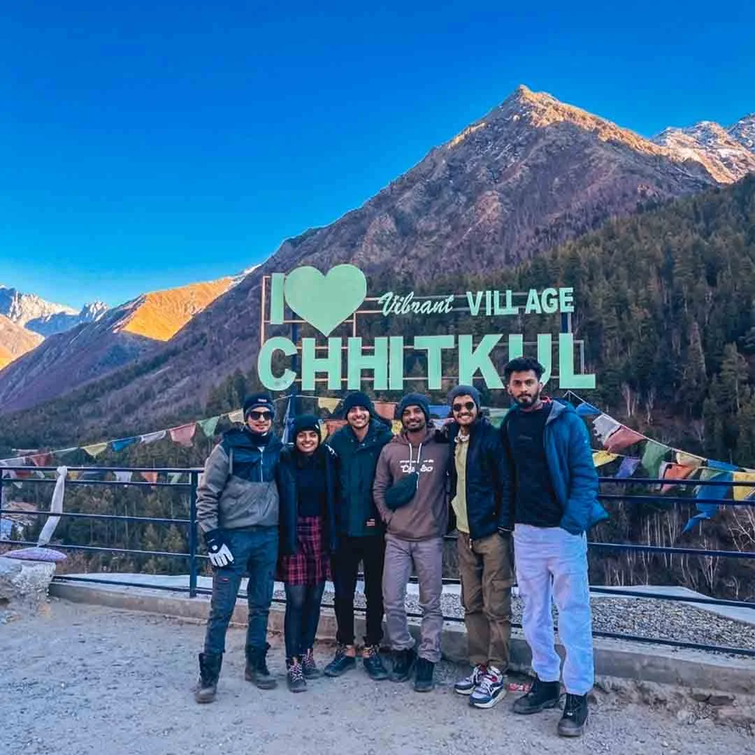 Group Tour9D/8N
Best Selling Winter Spiti Valley Group Tour
2D Sangla•1D Tabo+2
₹18,999₹23,999SAVE INR 5,000/ person Group Tour10D/9N
Most Loved Spiti Valley Bike Expedition With Chandratal
1D Jibhi•1D Sangla+4
₹34,999₹41,999SAVE INR 7,000/ person Group Tour10D/9N
Most Loved Shimla To Manali Spiti Circuit With Chandratal Lake
1D Shimla•1D Sangla+4
₹21,999₹25,999SAVE INR 4,000/ person Group Tour9D/8N
Best Selling Summer Spiti Circuit With Chandratal
1D Sangla•1D Kalpa+3
₹18,999₹19,999SAVE INR 1,000/ person Group Tour7D/6N
Spiti Short Circuit With Chandratal Group Tour From Manali
1D Manali•2D Kaza+1
₹14,999₹16,999SAVE INR 2,000/ person
If you are travelling this week
Enter from Shimla, keep a buffer day, and plan your Manali exit loosely. The active rain spells are the thing to respect; a fresh one is expected from around September 11. Both routes are open, so this is about timing rather than route choice.
If you can shift your dates to a drier window between spells, do it. The IMD expects the rain to ease between the active spells, and a calmer window is a materially easier time to be on these roads.
If the full circuit is open
Go for it in this direction: Shimla, Kinnaur, Kaza, Chandratal or Batal side, Manali. This gives you the best acclimatisation, the best altitude progression, and it puts the weather-exposed Kullu leg at the end, when you will know more than you do today.
If only Shimla-Kaza is reliable
Go with Shimla, Narkanda, Kalpa, Nako, Tabo, Kaza and return the same way. This is a complete Spiti experience. You see Kinnaur, the valley, the monasteries, the high villages, and the landscapes. You do not need the Manali side to have a great trip.
If travelling with family or senior citizens
Take a slower Shimla-side itinerary with extra acclimatisation days. Spend two nights in Kalpa. Spend two nights in Kaza. Build in at least one buffer day for a Kinnaur delay. The slower route is the better route for anyone who needs comfort and predictability over adventure.
Browse our popular tours to see which circuits are running right now based on current road conditions.
Final Advice: Which Spiti Route Should You Take Today?
For most travellers reading this in September 2026, the answer has shifted from what it was earlier in the season.
Both routes are open. That part is settled. Kunzum is through, the Gramphu-Kaza-Sumdo highway is carrying traffic, Kinnaur's NH-5 is clear, and Lahaul and Spiti had just one blocked link road on the last SEOC report.
Shimla-Kinnaur-Kaza is still the better default for acclimatisation, for sedans, and for families. But understand what you are choosing. In monsoon this is the landslide corridor, not the safe corridor, and it has no bypass. Take it with a buffer day, not with a tight schedule.
Manali-Kaza has been through since late May and by late summer the surface is normally at its best of the season. The vehicle-class notice from that reopening has never been formally lifted, and we would rather tell you that plainly than pretend it has. Our read is that the notice is stale and the road is fine for a capable vehicle. Ring a driver and get your own answer. Its weakness is Kullu, which has taken the worst of this monsoon, and the Gramphu-Batal water crossings that deepen every afternoon.
The real decision this week is not which route. It is which day. The state is in a lull of light showers now, with a fresh, more widespread spell expected from around September 11 and drier windows in between.
The best Spiti trip is not the one that forces every route on the original schedule. It is the one that stays flexible and comes back safely. In all our years running this circuit, the travellers who enjoyed Spiti the most are the ones who planned for flexibility instead of perfection.
Related topics
FAQ
Is Spiti Valley open today in September 2026?
Yes. As of September 7, 2026, Spiti Valley is open and both routes are working. On the SEOC report of September 5, Kinnaur was not among the districts reporting blocked roads and Lahaul and Spiti had just one blocked link road, so both approach corridors were open. The catch now is weather, not snow: the state is in a relative lull of light showers, but the IMD has a fresh, more widespread spell of rain likely from around September 11. Confirm the same morning you plan to travel.
Which route to Spiti is open right now?
Both. Shimla-Kinnaur-Kaza and Manali-Kaza via Kunzum Pass are open as of September 7, 2026, and the full circuit is running. Shimla-Kinnaur is better for acclimatisation and works for sedans. Manali-Kaza is shorter but rougher, and the vehicle-class advisory from its late-May reopening has never been formally lifted. Neither route is risk-free during an active monsoon spell.
Which is the safest route to Spiti today?
Shimla-Kinnaur-Kaza is still the better default for acclimatisation, for sedans, and for families, but it is not the low-risk route in monsoon that it is in May and June. Kinnaur's NH-5 is one of the most landslide-prone corridors in Himachal and it has no bypass. Right now the honest answer is that both routes are open and the real decision is which day you cross, not which route you pick.
Is Manali to Kaza road open today?
Yes. BRO cleared Kunzum Pass from both sides in late May 2026 and the road has been carrying traffic since. No closure has been reported on the latest reports. On vehicle class, be careful what you read: the reopening notice specified light 4x4 and we have not seen a formal notification lifting it, though the district feed that still carries it also still asks for snow chains at Kunzum well into the open season, which is not a real condition. Our read is that the notice is stale rather than the road restricted, but ring a Manali or Kaza driver on the morning you plan to cross. The roughly 47 km Gramphu-Batal stretch stays rough regardless, and Kullu district has carried among the highest road-blockage counts in the state all monsoon. Start by 6 AM.
Is Shimla to Kaza road open today?
Yes. Kinnaur was not among the districts reporting blocked roads on the SEOC report of September 5 and NH-5 is carrying traffic normally. This is still the better route for gradual altitude gain, but in monsoon it is the landslide-exposed corridor rather than the safe one. Known risk zones are Maling Nala, Negulsari, and the Wangtu to Sumdo stretch, and there is no bypass. NH-5 took repeated hits earlier in the monsoon, including a flash flood at Cholling near Nichar in early July. Build in a buffer day.
Is Kunzum Pass open in 2026?
Yes. Kunzum Pass opened for the 2026 season in late May after BRO cleared snow from both sides, and no closure has been reported on the latest reports. The pass sits at 14,931 feet. The opening notice specified light 4x4 vehicles and has not been formally lifted, though in every recent season that restriction has eased within a couple of weeks of the road coming through. In peak season the pass itself is rarely the problem. The Gramphu to Batal stretch below it is the part that blocks in heavy rain.
Can I do the full Spiti circuit today?
Yes. Both routes are open as of September 7, 2026, so the full circuit is running. This is the most reliable stretch of the year for it. The recommended direction is Shimla entry and Manali exit via Kunzum, which gives you gradual acclimatisation and puts the weather-exposed Kullu leg at the end of the trip, by which time you will have a better read on the monsoon. Keep the Manali exit flexible around the active rain spells.
Is Spiti open in September 2026?
Yes. September is late in the open season, when the widest range of vehicles can still attempt both routes and inner Spiti roads are in their easiest condition of the year. The trade-off is the tail of the monsoon. The monsoon entered Himachal on June 30, 2026 and stayed active through August before easing in early September, with statewide blocked-road counts down to 85 on the September 5 report from an August range of roughly 109 to 157. Lahaul and Spiti has stayed almost entirely clear throughout, because it sits in a rain shadow.
Will monsoon rain close the Spiti road in September 2026?
It can, at short notice, though Spiti itself usually stays dry. The risk sits on the approach corridors, not in the valley. On the SEOC report of September 5, 85 roads were blocked across the state, with Mandi and Kullu worst-hit and Lahaul and Spiti down at one. The IMD has a fresh, more widespread spell of rain likely from around September 11, with drier windows in between. If your dates are flexible, aim for a lull between the spells.
Can a sedan go to Spiti Valley?
Sedans can manage Shimla-Kaza in settled weather with careful driving. Sedans are not recommended for the Gramphu-Batal-Losar stretch at any point in the season. The water crossings there are rain-fed in monsoon and can be deep enough to stall a low car. High-clearance SUVs are better regardless of route. This is also the cleanest way to sidestep the whole 4x4 advisory question: if you are in a sedan, take the Shimla side and no reading of any notice changes that.
Do I need a 4x4 for Spiti Valley?
Not for the Shimla-Kinnaur-Kaza route. For Manali-Kaza the honest answer is that it is unclear on paper. The late-May reopening specified light 4x4 and no formal lifting has been published, though the same advisory still asks for snow chains well into the open season, so treat it as stale rather than live. What is not in doubt is that a high-clearance vehicle is strongly preferred for the Gramphu-Batal stretch and for the Batal to Chandratal diversion, whatever the paperwork says. Confirm with a local driver on the day.
Is Chandratal open with the Spiti route?
They are separate questions, though right now the answer to both is yes. The 14 km Batal-Chandratal diversion cleared in June and the camps came online through mid-June, so both are fully operational. This matters again from late September, when the sequence runs in reverse and the diversion and camps close before the pass does. Check Chandratal road status separately, because the diversion has its own weather and the lake has no mobile network.
Do I need a permit for Spiti Valley?
Indian citizens do not need an Inner Line Permit or Protected Area Permit for normal Spiti tourism as of 2026. Carry a valid photo ID. A free e-Aagman vehicle permit is needed if entering via the Atal Tunnel-Rohtang-Koksar circuit (register at eaagman.hp.gov.in), and the same system also applies to vehicles entering the district from the Kinnaur and Sumdo side. A SADA fee is collected at barriers for vehicles entering Spiti: ₹100 for two-wheelers, ₹200 for cars, ₹300 for SUVs, and ₹400 for buses.
Is there a bus service to Spiti Valley?
Yes, on both sides during the open season. HRTC runs buses from Shimla to Reckong Peo (multiple daily services, approximately ₹430 to ₹650) with connecting buses to Kaza (approximately ₹400 to ₹700). On the Manali side, daily buses typically run June to October, departing around 5 to 6 AM and reaching Kaza by 3 to 5 PM, fare approximately ₹400 to ₹600, first-come-first-served at the bus stand. Both services depend on the road staying stable enough for buses and schedules shift when a highway is blocked, so confirm with HRTC for your date rather than assuming.
Where can I get fuel and ATMs in Spiti?
Petrol pumps are available at Reckong Peo, Tabo, and Kaza. Fill up in Reckong Peo if coming from Shimla, or in Manali if coming from the Manali side. There is nothing reliable between Manali and Kaza on the Kunzum route. The SBI ATM in Kaza is the nearest but can be non-functional. Carry enough cash for your entire Spiti stay.
What should I do if Manali-Kaza closes during my trip?
Return through Shimla-Kinnaur. This is why Shimla entry and Manali exit is the recommended circuit direction. If the Manali exit fails, you can retrace via Shimla without backtracking through a closed pass. If you are already at Chandratal and heavy rain is forecast, come down rather than adding a night in the hope it clears.
More about Lahaul and Spiti
 Lahaul and Spiti
Rent or Buy Winter Gear for Spiti in 2026? Jackets, Boots, Costs and Pickup Options
Planning a Winter Spiti trip in 2026? Compare the cost of renting vs buying jackets, snow boots, thermals and other essential winter gear, along with practical tips on what to rent, what to buy and where to arrange it before your trip.
- First-Time Travellers
- Snow Travel
 Lahaul and Spiti
Winter Spiti 4×4 Seating Guide 2026: Jimny, Scorpio N, Thar and Hilux for Passengers and Luggage
Planning a Winter Spiti trip in 2026? This practical 4×4 seating guide compares the Jimny, Scorpio N, Thar and Hilux for passenger comfort, luggage space, winter roads and long mountain drives, helping you choose the right vehicle for your group size and travel style.
- Road Trips
- Snow Travel
 Lahaul and Spiti
Stargazing in Winter Spiti 2026: Where to Stay, Moonlight and What You Can See
Discover the best places for stargazing in Winter Spiti 2026, where to stay for darker skies and how moonlight affects visibility. Learn what you can realistically see from Kaza, Tabo and nearby villages during the winter months.
- Things to Do
- Snow Travel