
Manali To Kaza Road Status 2026: Kunzum Pass, Batal & Gramphu Update
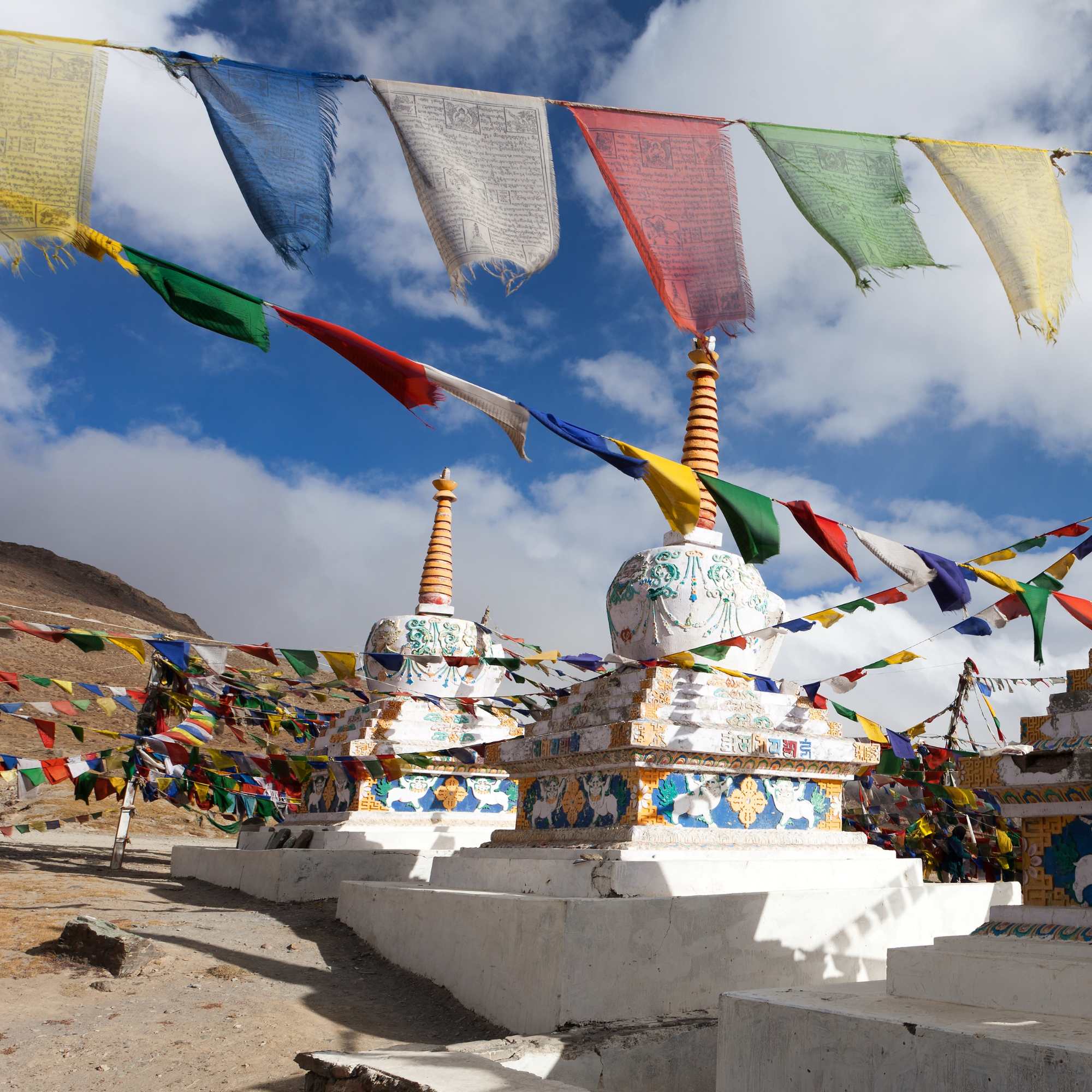
Every summer, the Manali to Kaza road status becomes the most searched Spiti update in India. And for good reason. This route depends entirely on Kunzum Pass, the rough Batal-Gramphu stretch, snow clearance by BRO, water crossings, and weather that can change in an hour. None of these things follow a fixed calendar.
If you are reading this, you are probably asking one question: can I actually drive from Manali to Kaza right now? This guide gives you the honest answer based on the latest verified information, explains what the current status really means for your vehicle and travel style, and tells you what to do if the route is not fully ready.
Last verified update: September 7, 2026.
Quick Answer: Is Manali to Kaza Road Open in 2026?
Yes. As of September 7, 2026, the Manali to Kaza road is open and has been carrying traffic continuously since late May. BRO completed snow clearance on Kunzum Pass from both sides in the second half of May 2026, ending more than six months of winter closure, and the route has stayed open right through the season. On the State Emergency Operation Centre report of September 5, Lahaul and Spiti had just one blocked link road and no closure reported on the Manali to Kaza highway itself, while the heavy damage sat in Mandi and Kullu.
This is peak season. The road has been driven on for over three months, the surface is packed down, and it is in the best shape it will be in all year.
The thing that decides your trip now is not snow. It is rain, and it is mostly not falling on Spiti.
Chandratal is open and the camps are running. The Batal diversion cleared in June and the camps came online through the middle of that month. If you read an earlier version of this page saying to treat Chandratal as closed, that was written for early June and no longer applies. Check our Chandratal road status guide for lake-specific detail.
Weather note: The southwest monsoon reached Himachal on June 30, 2026 and has stayed active through August and into September, though it is now weakening as it heads toward withdrawal. The state is in a relative lull of light showers, but the IMD has a fresh, more widespread spell of rain likely from around September 11. Kullu, the district your approach runs through, has carried among the highest road-blockage counts in the state all monsoon. Water crossings on the Gramphu-Batal stretch run lowest before 10 AM, so start early regardless.
Talk to our Himachal team on WhatsApp for a same-day ground check before you leave Manali.
Latest Manali to Kaza Road Status Today
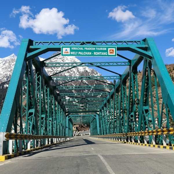
Segment-wise status as of September 7, 2026
The safest way to read the current Manali to Kaza road status is to break it into segments, because each section behaves differently.
Manali to Sissu via Atal Tunnel: Open. The tunnel bypasses Rohtang Pass entirely, making this the smoothest part of the drive. Worth knowing that Kullu district has carried among the highest road-blockage counts in the state right through the monsoon, with 15 roads still blocked on the September 5 report. NH-3 itself is open, but this is the wettest part of your route.
Sissu/Koksar to Gramphu: Open. Paved road through the Lahaul Valley. This section is usually comfortable.
Gramphu to Batal (~47 km): Open, and in the best condition of the season. This is still the toughest stretch on the entire Spiti circuit: broken road surfaces, loose gravel, and active stream crossings are standard. In monsoon those crossings are fed by rain rather than snowmelt, which makes them less predictable, not more. A clear morning can turn into a blocked track by evening. Water levels are lowest before 10 AM and get deeper through the afternoon.
Batal to Kunzum Pass: Open. High and exposed, but the snow and black ice risk of early season has gone. Weather still changes fast at this altitude.
Kunzum Pass to Losar to Kaza: Open. The Kaza side is generally in better condition than the Manali side, and it is also in the rain shadow. It can be raining hard in Kullu while Losar stays dry.
Chandratal diversion (Batal): Open, camps fully operational. The 14 km diversion road from Batal toward the lake cleared in June and the camps came online mid-month. Early September is still well within the camping season. Heavy rain can still put water back across the diversion within hours, so confirm same-day.
What the "4x4 only" wording actually means now
This deserves a straight answer, because it is the most confusing thing on this route and most pages just guess.
When BRO reopened the highway in late May, the district administration opened it for light 4x4 vehicles. That was the correct call at the time: the road had just come through and conditions were at their worst.
We have not seen a formal notification lifting that restriction, and the district status feed still carries a 4x4 and chain note on the Kunzum row. But read that feed carefully. It still asks for snow chains at Kunzum well into the open season, and there is no snow on that surface now. That tells you the row was written in May and nobody has refreshed it.
In every recent season the restriction has eased within a couple of weeks of the road coming through. In 2025 the road opened on May 24 for 4x4 only, with wider access about a fortnight later. In 2024 it was declared open in the first week of June for all kinds of vehicles including motorcycles. We are now more than three months past this year's opening.
Our read: the paperwork is stale rather than the road being restricted. But we would rather tell you that plainly than pretend we have a confirmation we do not have. Ring a Manali or Kaza driver the morning you plan to cross. On this question, a working driver beats every website including this one.
What none of this changes: ground clearance decides this road. Whatever the notice says, a sedan should not be on the Gramphu-Batal stretch. That advice is season-proof.
Why different sources are showing different status
This is where most travellers get confused, and we deal with it every season.
The official Lahaul-Spiti district road status page at hplahaulspiti.nic.in has a known lag and has shown Keylong to Kaza as closed well into the open season. Its vehicle-class notes lag too, as above. Meanwhile the road has been carrying traffic since late May.
The BRO also completed the Manali-Leh highway connection on May 12, 2026, with the annual Golden Handshake ceremony at Sarchu, confirming that snow clearance across the region was on schedule this year.
Third-party road status aggregators copy the district feed and inherit its staleness without inheriting its caveats. If a page tells you a high pass needs snow chains in September, that page is not describing September.
When a written advisory and a working driver disagree, ring the driver. Check district updates, Lahaul-Spiti Police at 01900-222226, local taxi drivers in Manali or Kaza, or our Himachal team at Travel Coffee. Do not rely on a single source, especially if that source is more than three days old in monsoon.
If you are confused by mixed road updates, message our Himachal team before finalising your route: Talk to our Himachal team
Is Kunzum Pass Open Now in 2026?
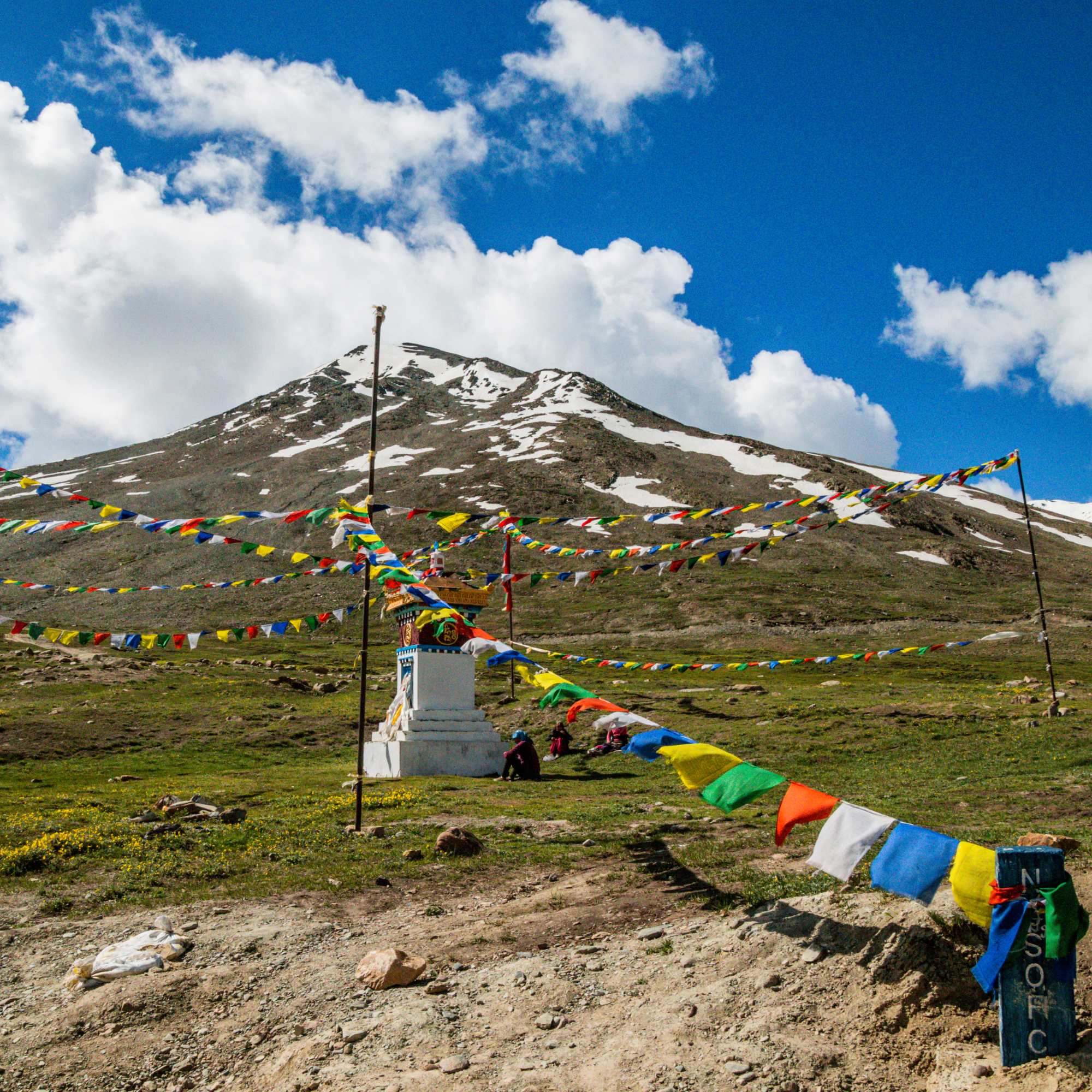
Latest Kunzum Pass update
Kunzum Pass opened for the 2026 season in late May after BRO cleared snow from both the Gramphu and Kaza sides, and it has stayed open since with no closure reported on the latest reports. The Sumdo-Kaza-Gramphu highway via Kunzum has been functional throughout. This is the annual milestone that signals the beginning of the Manali-side Spiti season.
For reference, recent opening dates have been: May 24 in 2025 (4x4 only initially, wider access about two weeks later); the first week of June in 2024; late May to early June in 2023; and May 3 in 2022, an unusually early opening. The Atal Tunnel, operational since October 2020, has shifted opening dates roughly two to three weeks earlier than the pre-2020 pattern because BRO no longer needs to clear Rohtang Pass first.
The pass sits at around 4,551 metres or 14,931 feet. At this altitude, weather can change in minutes. But in peak season, Kunzum itself is rarely the problem. The Gramphu to Batal stretch below it is the part that blocks in heavy rain.
Why Kunzum opens late every year
Kunzum receives heavy snow through winter and usually blocks the direct Manali-Spiti connection for five to seven months. The official district travel page says the Kaza route via Rohtang, Batal, and Kunzum can close from around October or November till June or July because of Kunzum Pass closure and heavy snowfall.
BRO works from both sides to clear the snow, but the timeline depends on snowfall volume, equipment availability, and weather windows. This is not a construction project with a deadline. It is manual work in extreme terrain.
Kaza side vs Manali side
The Kaza-Losar side of Kunzum becomes motorable earlier than the full Manali to Kaza crossing, and it stays more dependable through monsoon because Spiti sits in a rain shadow. This confuses many travellers in both directions.
In monsoon the asymmetry works the other way round from early season. It is no longer about snow clearance. It is that Kullu takes the rain and Spiti does not. In fact Lahaul and Spiti has recorded the state's biggest rainfall deficit this monsoon while Kullu has run well above normal. It can be pouring at Gramphu while Losar is dry and bright.
If you are already in Kaza and want to check whether you can exit via Kunzum toward Manali, ask local drivers in Kaza. They know the condition of both sides before any website updates.
Best time of day to cross Kunzum
Start early. If you are crossing from Manali, leave by 5 to 6 AM. If from Kaza, leave by 6 AM. Water crossings become more difficult later in the day, and in monsoon any afternoon burst compounds it. The difference between a 9 AM crossing and a 3 PM crossing can be the difference between manageable and dangerous.
Avoid late afternoon and night driving at all costs. Our team has seen travellers stranded at Batal because they started too late and hit water crossings that were fine at 9 AM but impassable by 3 PM.
If you are planning a Spiti circuit that includes this crossing, our Spiti Valley tour packages are designed around safe routing and proper timing.
Batal to Gramphu Road Status: The Patch That Decides Your Trip
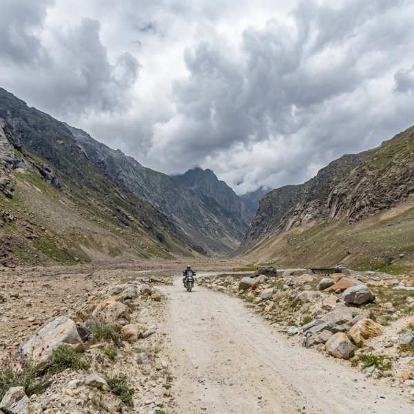
Why Batal to Gramphu is the real test
Most travellers focus on Kunzum Pass when they search for Manali to Kaza road status. But in our experience running this route for years, the roughly 47 km Gramphu-Batal stretch is what actually decides whether the drive feels safe or stressful. That is true in September as much as in June.
This section passes through narrow valleys, glacial streams, and loose rock terrain. It can have loose stones, deep mud, slush, broken road surfaces, active stream crossings, and slow-moving traffic. When one vehicle gets stuck at a water crossing, the entire road can back up for hours. BRO has divided the road widening project into four sections and work is in progress, but at 4,000+ metres, improvements are slow.
The monsoon difference is the source of the water. In early season the crossings are snowmelt, which follows the sun and is therefore predictable: low in the morning, high in the afternoon. In monsoon they are rain-fed, which follows the weather and is not predictable at all. A stretch you cleared going in can be running high when you come back out.
What the road feels like after Gramphu
After Gramphu, the road changes character completely. The relatively comfortable Lahaul-side drive transforms into a rough high-altitude mountain track. Potholes, gravel, and missing road sections are standard. The surface quality can change every few hundred metres.
Do not trust Google Maps timing for this section. The app might show 2 hours. The reality can be 4 to 5 hours for the same stretch. Every traveller we have sent on this route comes back saying the same thing: the Gramphu-Batal stretch took twice as long as expected.
Why sedans and hatchbacks should still wait
Low-ground-clearance vehicles can scrape on rocks, get stuck at water crossings, struggle on slush, and create delays for everyone behind them. This has nothing to do with what any advisory says. It is about the road not being designed for low cars in any condition.
In our experience, ground clearance matters more than confidence on Spiti roads. A ₹8 lakh sedan with a brave driver will get stuck where a ₹6 lakh Bolero passes without slowing down.
If you are in a sedan and you want Spiti, take the Shimla-Kinnaur-Kaza route. You will still see the whole valley.
Can You Drive Manali to Kaza in a Normal Car, Bike or 4x4?
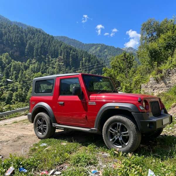
For 4x4 and high-ground-clearance SUVs
This is the most sensible vehicle category on this road at any point in the season, and it is the one category for whom the advisory question is irrelevant. Mahindra Thar, Force Gurkha, Toyota Fortuner, Scorpio, Bolero, and similar vehicles handle the terrain well.
Still, same-day verification is essential. Start early. Drive with an experienced driver if you are not confident on mountain tracks. No night driving, no exceptions. Carry enough fuel to reach Kaza from Manali without depending on any roadside pump.
For bikes
Experienced riders do this route right through the monsoon, but only after local confirmation that the road is passable and the day's forecast is clean on the Kullu side. Riding gear, waterproof layers, warm gloves, a puncture kit, spare clutch cable where applicable, and basic tools are non-negotiable.
Water crossings on a loaded motorcycle are a serious challenge, and rain-fed crossings in monsoon are worse than snowmelt because you cannot time them. Loose gravel at altitude is different from city riding. And the altitude gain from Manali at 6,000 feet to Kunzum at nearly 15,000 feet in a single day can cause exhaustion and poor judgment.
Do not ride this side on a day when heavy rain is forecast on the Manali side. First-time Himalayan riders should take the Shimla approach.
For sedans and hatchbacks
Avoid the Gramphu-Batal stretch. This is not a suggestion, and it is not about the season. It is practical advice based on what we see every year.
We have received calls from travellers stranded in sedans at Chhatru with scraped undersides and no mobile network. That is not an adventure. That is a preventable problem.
Manali to Kaza Route Explained in Simple Words
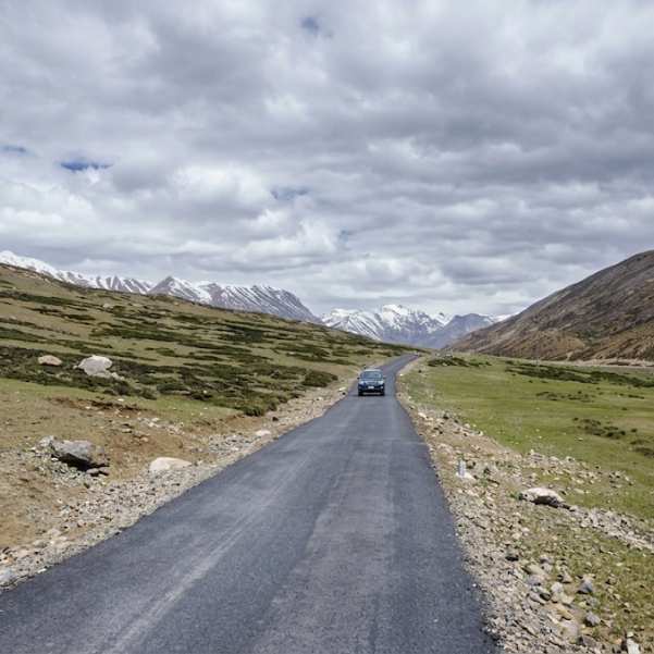
Full route
The route from Manali goes through the Atal Tunnel (or via the old Rohtang road when open), then through Sissu or Koksar in the Lahaul Valley. From there you continue to Gramphu, where the road branches. One branch goes toward Keylong and Leh. The other climbs toward Chhatru, Chhota Dhara, Batal, Kunzum Pass, Losar, and finally Kaza.
The Atal Tunnel helps you reach Lahaul much faster than the old Rohtang crossing. But it does not make Kunzum Pass or the full Manali-to-Kaza route open all year. The tunnel bypasses Rohtang, not Kunzum.
If you are looking at a comfortable stopover before the rough sections, Sissu is a good option for an overnight halt. Many of our travellers use Manali as the base and break the drive into two days.
Distance and travel time
The practical Manali to Kaza distance is around 180 to 200 km via the Atal Tunnel route. The official district page mentions Keylong to Kaza as around 185 km and Kaza via Rohtang, Batal, and Kunzum as around 200 km.
In real road conditions, travellers should keep 8 to 12 hours for the drive depending on road quality, vehicle capability, traffic at water crossings, weather, and stops. Do not plan this as a 6-hour highway drive. It is not.
Fuel, food, bus and stay points
Manali and Kaza are the reliable fuel points. Fill your tank completely in Manali before leaving. The next guaranteed fuel is Kaza, roughly 182 km away via the tunnel, and there is nothing reliable in between.
Batal and Chhatru are basic seasonal stop areas with chai stalls and simple food. Early September is still within the season, so they are generally running, but do not build your day around them. Carry snacks, water, and warm clothing.
HRTC bus service: HRTC runs daily buses from Manali to Kaza through the open season, typically June to October. Buses depart around 5:00 to 6:00 AM from Manali and reach Kaza by 3:00 to 5:00 PM, stopping at Gramphu, Batal, and Losar. The fare is approximately ₹400 to ₹600 per person. There is no advance booking; it is first-come, first-served at the bus stand. The service depends on the road being stable enough for buses, so confirm with HRTC for your date rather than assuming it is running.
Is Chandratal Open from Manali or Kaza Right Now?
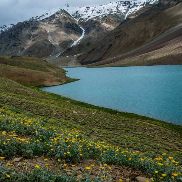
Current Chandratal status
Chandratal is open and the camps are fully operational as of September 7, 2026. The Batal to Chandratal diversion cleared in June and the camps came online through the middle of that month. Early September is well within the camping season and is one of the more reliable stretches of the year for a confirmed overnight stay.
Book ahead rather than turning up. Camps have limited tents, the season is busy, and if a road block holds people at the lake for an extra night, capacity tightens quickly.
One rule that catches people out: camping on the Chandratal lakeshore is not allowed. The lake is a protected Ramsar wetland and camps operate in designated zones 2 to 5 km from the water. Drone flying is also prohibited.
Why Chandratal opens later than the main route
The Chandratal road is a roughly 14 km diversion from the main highway near Batal. It branches off into a narrow, unpaved track that can remain buried, waterlogged, or unstable well after the main highway opens. BRO clears the highway first because it connects towns. The diversion to a lake is lower priority.
This sequencing matters less in early September than in June, because all of it is complete. It matters again from late September, when the sequence runs in reverse and the diversion and camps shut before the pass does.
For the full seasonal breakdown on Chandratal access, our Chandratal 2026 opening guide covers it in detail. And if you are curious about whether Chandratal technically sits in Lahaul or Spiti and why that matters for route planning, our Chandratal location guide explains it.
Should you include Chandratal in your itinerary right now?
Yes. Right now this is a normal part of the circuit rather than a gamble, which is a real change from June.
The one thing to respect is the weather. Chandratal has exactly one road in and out, no mobile network, and no permanent settlement. In July 2023, heavy rain blocked the Gramphu-Kaza highway and more than 250 travellers were stranded at Chandratal for several days, with more stuck at Batal. Helicopters could not reach them because of the weather, and they were eventually evacuated by road over Kunzum to Losar. Everyone got out safely, but the point stands: the risk at Chandratal is not the lake. It is the road closing behind you.
So if you are going up during an active spell like the one forecast from around September 11, keep it to a day visit or come down rather than adding a night in the hope it clears. Our Best Selling Summer Spiti Circuit with Chandratal puts Chandratal near the end for exactly this reason.
Manali to Kaza vs Shimla to Kaza: Which Route Should You Choose Now?
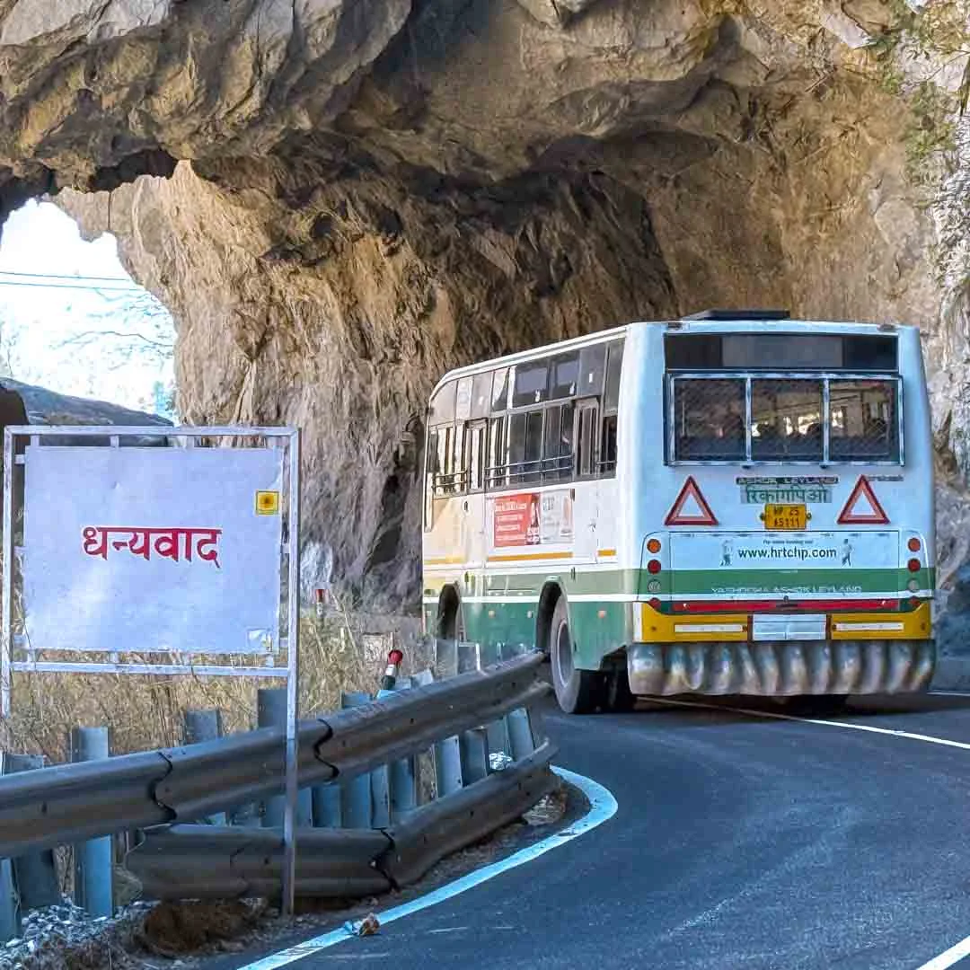
For families and first-time travellers
Both routes are open, so this is no longer the simple question it was in early June.
The Shimla-Kinnaur-Kaza route is still the better choice for acclimatisation. It gains altitude gradually over three to four days, does not depend on any high-altitude pass, and has proper towns along the way for fuel, food, and stays.
But be clear about the trade. In monsoon, the Shimla side is the landslide-exposed corridor, not the safe one. Kinnaur's NH-5 has no bypass at Maling Nala or Negulsari and blocks periodically after heavy rain. The Manali side is shorter and its main weakness is Kullu weather. Neither is risk-free while the monsoon is still winding down. Build in a buffer day whichever you take.
For travellers with a 4x4 and flexible dates
The Manali route is a normal proposition right now with a capable vehicle. Conditions are about the best they will be all season. Flexibility still matters: a landslide on the Kullu side or a heavy burst at Gramphu can change your day, and a road that was fine yesterday might not be today.
If you have locked dates, hotels, and return flights tightly around the Manali exit during an active rain spell, you are taking an avoidable risk.
For a full Spiti circuit
The recommended direction is Shimla entry, Manali exit via Kaza and Kunzum. Both halves are open, so the circuit is running.
This direction is better for acclimatisation, and in monsoon it has a second advantage: it puts the weather-exposed Kullu leg at the end of your trip, by which time you will have a far better read on what the rain is doing and days in Kaza to ask local drivers about the Gramphu side.
If the Manali side turns uncertain mid-trip, do a Shimla entry and Shimla exit instead. You still see the full Spiti Valley. You just skip the Kunzum crossing.
Our Kinnaur tour packages cover the Shimla-side route with proper acclimatisation and safe stay options.
Month-Wise Manali to Kaza Road Status in 2026
March and April
Manali to Kaza via Kunzum is not practical in March and April. Kunzum, Batal, and Gramphu remain under snow or active clearance work. BRO typically begins operations in March-April but the route is far from ready for any tourist movement.
May
May is a transition month. Early May is closed with snow patches on the road. BRO clearance is in progress from both sides. The Kaza side of Kunzum typically clears first. In 2026, the highway was reopened to 4x4 traffic in the second half of May, consistent with the 2025 opening on May 24. Even after opening, the surface stays rough and a fresh spell of snow can shut it for a few days.
June
Early June is still a transition period. The road is open but conditions are rough, with slush, snow walls, water crossings, and broken patches on the Gramphu-Batal stretch. Late June is usually when conditions settle for a wider range of vehicles. Camps near Chandratal come online from mid-June. In 2026 the monsoon arrived on June 30, at the very end of the month.
July to September
This is the most practical window for the Manali-Kaza crossing. Roads are at their most settled, camps near Chandratal are operational, and the full circuit is viable. The trade-off is the monsoon.
The 2026 monsoon has shown exactly what that means. It entered on June 30 and stayed active through August before easing in early September. Blocked-road counts across Himachal swung between roughly 109 and 157 through August and down to 85 on the September 5 report, with Mandi and Kullu consistently taking the worst of it. Through all of it, Lahaul and Spiti has stayed light, in single digits, while Kullu and Mandi absorbed the damage. Spiti has in fact recorded the state's biggest rainfall deficit this monsoon.
That is the pattern to plan around. Spiti stays dry. The Kullu-side road that gets you there does not. Build buffer days into any July or August plan.
September is often the best single month. Clear skies, stable roads, fewer crowds, and golden-brown landscapes.
October and November
Closure risk returns when snowfall, black ice, and freezing nights begin. Kunzum can close suddenly after fresh snow, sometimes within hours. Camps near Chandratal usually wind down around October 10. Do not plan an October trip with a tight schedule. If you attempt it, keep the Shimla exit as your backup.
Safety Checklist Before Attempting Manali to Kaza
Before leaving Manali, make sure your vehicle has properly inflated tyres, a functioning spare tyre, and enough fuel to reach Kaza without stopping. Carry warm clothes, water, dry snacks, basic medicines including paracetamol and ORS, and offline maps downloaded on your phone. Nights near Kunzum still drop close to freezing.
Route status should be confirmed through the SEOC daily public utility report, which lists blocked roads district by district through the monsoon, the official district page at hplahaulspiti.nic.in/road-status (check its update date and treat its vehicle-class notes with caution), Lahaul-Spiti Police at 01900-222226, local taxi drivers in Manali, accommodation hosts, or Travel Coffee's local team. Do not rely on a single source. Cross-check at least two, and let a working driver outrank a stale webpage.
Start early, ideally by 5 to 6 AM from Manali. Avoid night driving completely. Do not stop too long at high altitude if you are not acclimatised. Never rush through water crossings. Enter slowly, check depth, and cross in low gear. If the water looks too deep or fast, wait for someone who knows the crossing. In monsoon, do not assume a crossing you cleared in the morning will be the same on the way back.
Two numbers worth saving: 1070 for the State Emergency Operation Centre and 1077 for the District Emergency Operation Centre.
For route planning, cab help, or a safer Spiti itinerary, message us here: Talk to our Himachal team
Common Mistakes Travellers Make on the Manali-Kaza Road
Trusting Google Maps timing is the most common one. The app says 5 hours. The road says 10. Google does not account for slush, boulders, water crossings, or the fact that you will stop six times to let oncoming traffic pass on a single-lane stretch.
Reading a stale advisory as today's rule is the mistake specific to this season. A district feed that asks for snow chains at Kunzum in September is not describing September. Check the date on everything, including this page.
Assuming Atal Tunnel means Kaza is open is another frequent mistake. The tunnel bypasses Rohtang. It does not bypass Kunzum. These are two different obstacles on two different parts of the route.
Taking a sedan on the Gramphu-Batal stretch is something we see every year. The outcome is always the same: scraped underside, stuck at a crossing, and hours of stress that could have been avoided by choosing the Shimla route.
Assuming Spiti weather from Kullu weather cuts both ways in monsoon. It can be pouring in Manali and dry in Kaza. That does not mean the road between them is fine.
Starting late from Manali turns a manageable drive into a dangerous one. Water crossings that were fine at 8 AM become risky by 3 PM.
Adding a night at Chandratal when heavy rain is forecast is the monsoon-specific version of pushing your luck. The road closes behind you, not in front of you.
Driving tired after an overnight bus from Delhi to Manali and then immediately heading for Kunzum is a recipe for poor judgment at high altitude.
Not keeping a backup route is the biggest planning mistake. If you plan only for Manali-Kaza and it fails, your entire trip falls apart. Always keep the Shimla-Kinnaur route as Plan B.
Our Practical Recommendation for September 2026
Explore Spiti Valley Packages
Spiti circuits designed with safe Manali-Kaza routing, proper acclimatisation, and flexible Chandratal options.
 Group Tour9D/8N
Best Selling Summer Spiti Circuit With Chandratal
1D Sangla•1D Kalpa+3
₹18,999₹19,999SAVE INR 1,000/ person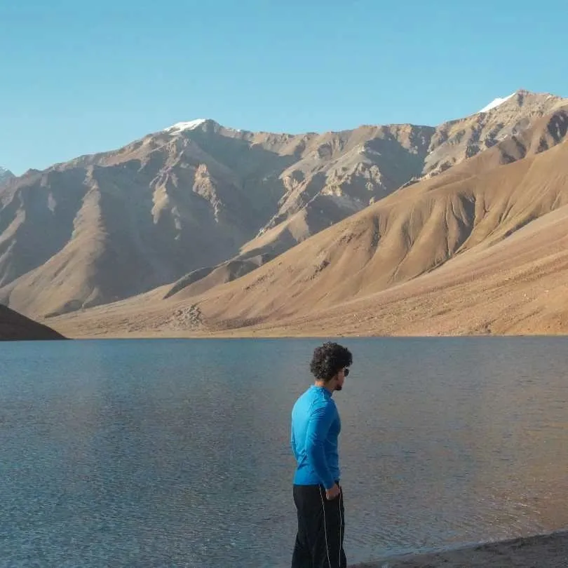 Group Tour10D/9N
Most Loved Shimla To Manali Spiti Circuit With Chandratal Lake
1D Shimla•1D Sangla+4
₹21,999₹25,999SAVE INR 4,000/ person Group Tour9D/8N
Best Selling Winter Spiti Valley Group Tour
2D Sangla•1D Tabo+2
₹18,999₹23,999SAVE INR 5,000/ person Group Tour7D/6N
Spiti Short Circuit With Chandratal Group Tour From Manali
1D Manali•2D Kaza+1
₹14,999₹16,999SAVE INR 2,000/ person
For most travellers, the Manali-Kaza road is a normal proposition right now, which it was not back in early June. It is open, the surface is at its best of the season, Chandratal and the camps are running, and the full circuit is viable.
Three caveats, in order of how much they should shape your plan.
First, the day you pick matters more than the route. The state is in a lull of light showers now, with a fresh, more widespread spell expected from around September 11 and drier windows in between. If your dates are flexible, aim for the drier windows and keep a buffer day.
Second, ground clearance still decides this road. The formal vehicle-class advisory from the May reopening has never been lifted on paper, and we are not going to pretend otherwise. Our read is that the notice is stale rather than the road restricted. But the practical advice is the same either way: bring a high-clearance vehicle, or take the Shimla side.
Third, the Kullu side is the wet side. Kullu has carried among the highest road-blockage counts in Himachal all monsoon and has had well above-normal rain. Spiti itself is dry and clear. Your risk is on the approach, not at the destination.
For families, first-timers, and anyone in a normal car, the Shimla-Kinnaur-Kaza route remains the better entry, with the Manali side as your exit once you are acclimatised and have local intel. For experienced travellers with a capable vehicle and a flexible plan, the Manali route is a good drive right now.
Chandratal no longer needs to be treated as a bonus. It needs to be treated as weather-dependent, which is a different thing.
Our Rohtang Pass in May guide covers what to expect on the approach side from Manali if you are considering the old road rather than the tunnel.
Related topics
FAQ
Is Manali to Kaza road open today in September 2026?
Yes. As of September 7, 2026, the Manali to Kaza road is open and has been carrying traffic continuously since late May, when BRO completed snow clearance on Kunzum Pass. On the SEOC report of September 5, Lahaul and Spiti had just one blocked link road and no closure reported on the Manali to Kaza highway, while Mandi and Kullu took the worst of the damage. This is peak season and the surface is at its best of the year. The catch now is weather, not snow: the state is in a relative lull of light showers, but the IMD has a fresh, more widespread spell of rain likely from around September 11. Kullu, on your approach, has been among the worst-hit all monsoon. Confirm the same morning you plan to travel.
Is Kunzum Pass open now for tourists?
Yes. Kunzum Pass opened for the 2026 season in late May after BRO cleared snow from both sides, and it has stayed open since with no closure reported on the latest reports. This follows the pattern from 2025 (opened May 24) and 2024 (first week of June). The pass sits at 14,931 feet. In peak season, Kunzum itself is rarely the problem. The Gramphu to Batal stretch below it is the part that blocks in heavy rain.
Is Batal to Gramphu road open right now?
Yes, and this roughly 47 km stretch is in the best condition of the season. It remains the toughest section of the entire Spiti circuit: broken patches, loose gravel, and active stream crossings are standard. In monsoon the crossings are rain-fed rather than snowmelt-fed, which makes them less predictable, not more. A stretch you cleared going in can be running high on the way back. Water levels are lowest before 10 AM. Allow 4 to 5 hours.
Can a normal car go from Manali to Kaza via Kunzum?
The honest answer is that it is unclear on paper and settled in practice. The late-May reopening notice specified light 4x4 vehicles and we have not seen a formal notification lifting it. But the district feed that still carries that restriction also still asks for snow chains at Kunzum well into the open season, which is not a real condition, so treat it as an advisory nobody refreshed. In every recent season the restriction has eased within a fortnight of the road opening, and we are now more than three months past this year's. Separately and regardless: a sedan or hatchback should not be on the Gramphu-Batal stretch in any month. If that is your vehicle, take the Shimla-Kinnaur route.
Do I need a 4x4 for Kunzum Pass in September 2026?
On paper, the light 4x4 restriction from the May reopening has never been formally lifted. In practice, by now the surface is packed down and far better than early June, and the advisory carrying that restriction is visibly stale. Our read is that the paperwork is out of date rather than the road being restricted, but we would rather say that plainly than claim a confirmation we do not have. Ring a Manali or Kaza driver on the morning you plan to cross. What does not change: a high-clearance vehicle is strongly preferred for this road whatever the notice says.
Is Chandratal road open from Batal or Kaza?
Yes. Chandratal is open and the camps are fully operational as of September 7, 2026. The 14 km Batal diversion cleared in June and the camps came online through the middle of that month, so early September is well within the camping season. This is one of the more reliable stretches of the year for a confirmed overnight stay. Book ahead, since tents are limited and the season is busy. Camping on the lakeshore itself is not allowed, as it is a protected Ramsar wetland, and camps operate 2 to 5 km from the water.
Will monsoon rain close the Manali-Kaza road in September 2026?
It can, at short notice. The southwest monsoon entered Himachal on June 30, 2026 and stayed active through August before easing in early September. Blocked-road counts across the state swung through the season, down to 85 on the September 5 report from an August range of roughly 109 to 157, with Mandi and Kullu worst-hit. Lahaul and Spiti has stayed in single digits throughout because it sits in a rain shadow, so your risk is on the Kullu-side approach rather than in Spiti. The IMD has a fresh, more widespread spell of rain likely from around September 11.
Does Atal Tunnel make Manali to Kaza open all year?
No. Atal Tunnel helps you reach Lahaul faster by bypassing Rohtang Pass. It does not bypass Kunzum Pass, which is the actual gate to Spiti from the Manali side. Kunzum closes in winter regardless of the tunnel. The tunnel has, however, shifted opening dates two to three weeks earlier than the pre-2020 pattern, because BRO no longer needs to clear Rohtang before starting on Kunzum.
Which is safer right now, Manali-Kaza or Shimla-Kaza?
Both are open, so this is no longer the simple question it was in early June. Shimla-Kinnaur-Kaza is still better for acclimatisation and works for ordinary cars. But in monsoon it is the landslide-exposed corridor, not the safe one: Kinnaur's NH-5 has no bypass at Maling Nala or Negulsari and blocks periodically after heavy rain. The Manali side is shorter and its main weakness is Kullu weather, which has been among the worst in the state all monsoon. Neither is risk-free during an active spell. Build in a buffer day whichever you take.
How long does Manali to Kaza take by road?
The distance is around 180 to 200 km via the Atal Tunnel route. In real road conditions, travellers should keep 8 to 12 hours for the drive. Do not trust Google Maps timing, which does not account for water crossings, slush, or single-lane traffic. Start by 5 to 6 AM from Manali so you clear the Gramphu-Batal water crossings before they deepen through the afternoon.
When does Manali-Kaza road usually open and close?
The route typically opens between late May and early June (in 2026, late May) and closes around October or November when snowfall and freezing conditions return. Camps near Chandratal wind down around October 10. Exact dates change every year depending on snowfall and BRO clearance speed, which is why no page can give you a fixed calendar for this road.
Is Kaza to Manali easier than Manali to Kaza?
The road is the same in both directions. But Kaza to Manali means you are descending from Spiti through Kunzum, which some travellers find psychologically easier, and you will have acclimatised by then. The Gramphu-Batal rough section is the same challenge regardless of direction. In monsoon there is one real asymmetry: starting from Kaza means starting in the rain shadow and driving into the weather, so check the Kullu forecast before you leave rather than after.
Is there a bus from Manali to Kaza?
HRTC runs daily buses from Manali to Kaza through the open season, typically June to October. Buses depart around 5:00 to 6:00 AM and reach Kaza by 3:00 to 5:00 PM, stopping at Gramphu, Batal, and Losar. The fare is approximately ₹400 to ₹600. No advance booking; first-come, first-served at the bus stand. The service depends on the road staying stable enough for buses, so confirm with HRTC for your date rather than assuming it is running.
Can I do Manali to Kaza and Chandratal together right now?
Yes. Right now this is a normal part of the circuit rather than a gamble, which is a real change from June. Both the main highway and the 14 km Batal diversion are open, and the camps are running. The thing to respect is weather rather than access: Chandratal has one road in and out and no mobile network. In July 2023, heavy rain blocked the Gramphu-Kaza highway and more than 250 travellers were stranded at the lake for several days. If you go up during an active spell like the one forecast from around September 11, keep it to a day visit or come down rather than adding a night in the hope it clears.
More about Lahaul and Spiti
 Lahaul and Spiti
Rent or Buy Winter Gear for Spiti in 2026? Jackets, Boots, Costs and Pickup Options
Planning a Winter Spiti trip in 2026? Compare the cost of renting vs buying jackets, snow boots, thermals and other essential winter gear, along with practical tips on what to rent, what to buy and where to arrange it before your trip.
- First-Time Travellers
- Snow Travel
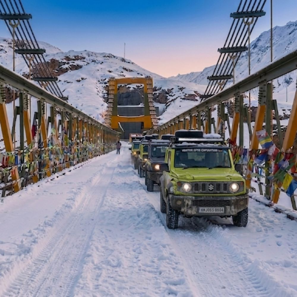 Lahaul and Spiti
Winter Spiti 4×4 Seating Guide 2026: Jimny, Scorpio N, Thar and Hilux for Passengers and Luggage
Planning a Winter Spiti trip in 2026? This practical 4×4 seating guide compares the Jimny, Scorpio N, Thar and Hilux for passenger comfort, luggage space, winter roads and long mountain drives, helping you choose the right vehicle for your group size and travel style.
- Road Trips
- Snow Travel
 Lahaul and Spiti
Stargazing in Winter Spiti 2026: Where to Stay, Moonlight and What You Can See
Discover the best places for stargazing in Winter Spiti 2026, where to stay for darker skies and how moonlight affects visibility. Learn what you can realistically see from Kaza, Tabo and nearby villages during the winter months.
- Things to Do
- Snow Travel