
Rohtang Pass Photography Guide 2026: Best Viewpoints, Light, Lenses and Photo Stops
If you are planning rohtang pass photography for 2026, the short version is this. Scout six locations in route order and pick the three or four that the day's traffic and weather actually allow.
Quick Answer
The main stops photographers should scout, in the order you hit them from Manali, are Kothi, Gulaba, Rahala Falls, Marhi, Rani Nallah and Rohtang Top.
The earliest legally accessible part of the day usually gives you softer light and fewer vehicles than the busy midday rush. But nobody can promise you will reach the top before sunrise. Permit barriers, weather, traffic and daily road orders all decide that.
Carry a wide-angle or standard zoom plus a telephoto. You need a valid vehicle permit and a fresh road-status check before you leave.
If you want the driving and permits handled for you, our Rohtang Pass tour packages sort out the logistics so you can focus on shooting.
Why Is Rohtang Pass So Rewarding for Landscape Photography?
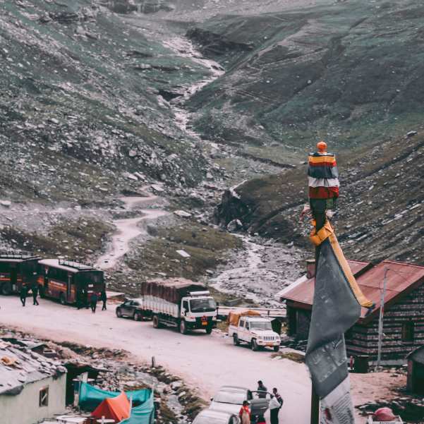
The route keeps changing on you. You start in green forested slopes near Manali, then climb into open alpine terrain, waterfalls, sharp road curves, snow walls and distant mountain layers stacked one behind the other.
Rohtang Pass sits about 51 kilometres from Manali and reaches roughly 3,978 metres above sea level. It connects the Kullu Valley side with Lahaul and Spiti.
That height is what gives you the drama. Cloud, snow and visibility change fast up here, which can hand you a stunning frame one minute and wipe out the whole view the next.
In our experience running trips on this road, the photographers who do best are the ones who stay flexible instead of locking onto one imagined shot.
If you want to base yourself well before heading up, our Manali tour packages cover stays and local logistics.
Where Are the Best Rohtang Pass Photo Points?
Think of this as a scouting guide, not a checklist you must complete. Where you actually stop depends on traffic police instructions, road conditions and whether there is a genuinely safe pull-off.
Never park on a blind bend, stand in an active lane, cross a road barrier or climb an unstable snow wall for a photo. No frame is worth it.
Kothi for Gorge Views and Layered Valley Frames
Kothi comes early on the route. Here you can look for elevated valley perspectives and that shift from lived-in slopes to bigger, wilder mountain terrain.
Use road edges, trees or rock faces as foreground. A standard zoom or short telephoto works well to isolate the overlapping valley layers.
We are not giving an exact distance from Manali here because published segment distances conflict.
Gulaba for Meadows, Mountain Roads and Early Snow Views
Gulaba opens up. You get open slopes, wider compositions and road curves that make good leading lines.
Gulaba matters for another reason. The official permit system ties congestion control to vehicles crossing Gulaba Bridge, so it is a real checkpoint on the route.
Shoot only from authorised stopping areas. Do not stand in the road to line up a symmetrical shot, however tempting the empty tarmac looks.
Rahala Falls for Water Movement and Environmental Portraits
Rahala Falls gives you a choice. Use a faster shutter to freeze the water and spray, or a slower shutter to blur it into motion.
There is no single correct shutter speed. Any range you read is a starting point that shifts with water speed, focal length, stabilisation and light.
Protect the lens from spray. Check the front element for droplets before every important frame, because water spots ruin more waterfall shots than anything else.
Put a person or the surrounding rock face in the frame to show scale.
Marhi for Open Mountain Scale and Weather Drama
Marhi is your open-terrain spot. Small-human-big-landscape compositions, moving clouds and layered mountain views all work here.
Treat it as a practical weather and equipment checkpoint before you push higher. If the sky looks angry from Marhi, that tells you something about the top.
A telephoto lens earns its place here. It compresses distant slopes and cloud layers in a way a wide lens cannot.
We are not publishing an exact Marhi-to-Rohtang distance because route sources conflict.
Rani Nallah for Snow Walls, Textures and Leading Lines
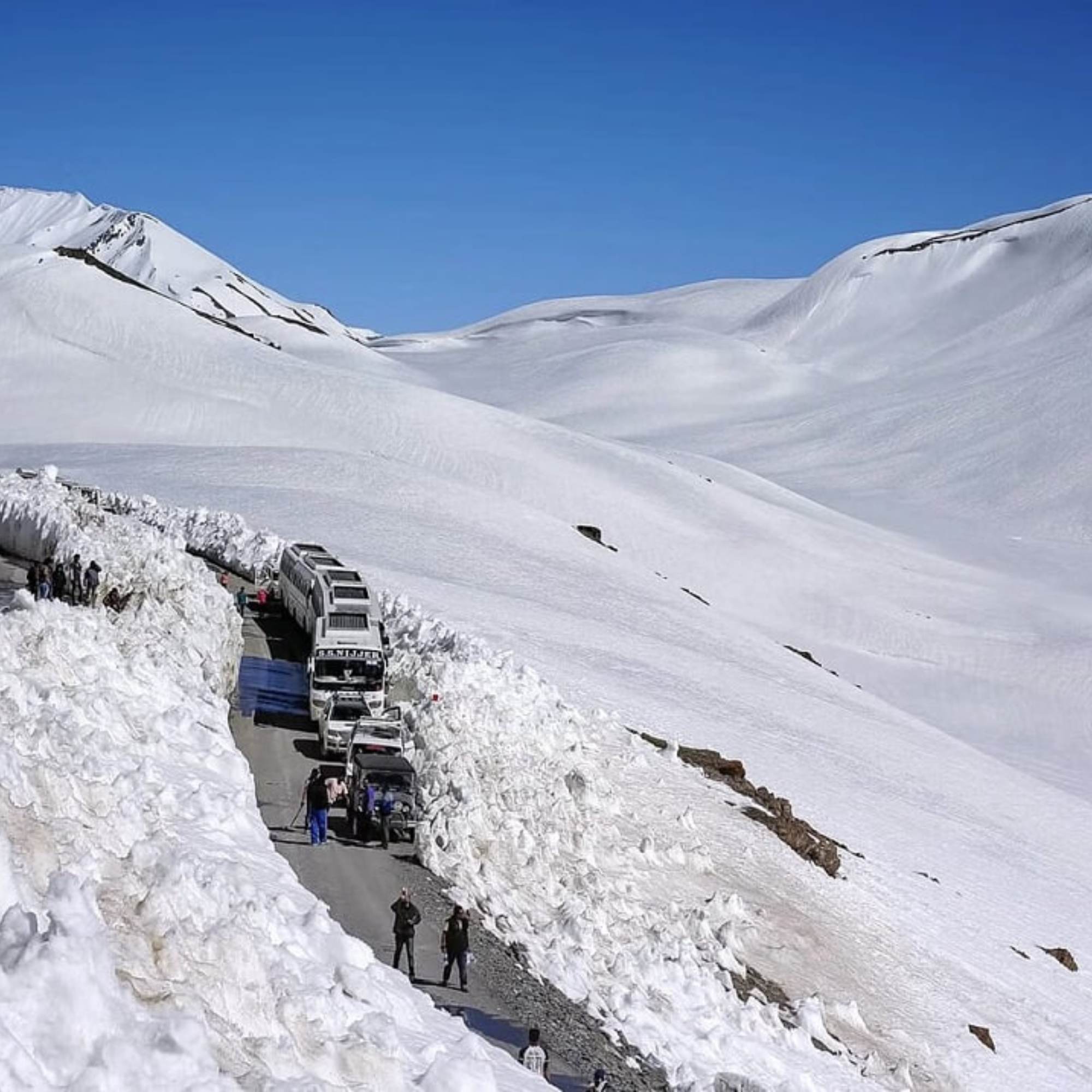
Rani Nallah is where the snow walls, road edges and meltwater channels turn into repeating textures and leading lines.
Do not stand under snow overhangs, walk into unstable snow, or stop in a rockfall or traffic hazard area. This is where people take risks for a photo and it goes wrong.
Snow often needs positive exposure compensation because the camera reads a bright scene and makes it too dark. Check the histogram and highlights instead of trusting one fixed value.
Rohtang Top for Summit Frames and Lahaul-Facing Mountain Layers
The Rohtang Top environment is broad and open, with the road cutting through and the view changing on either side of the pass.
Bring a wide lens for context and a telephoto for distant ridges, cloud openings and compressed layers.
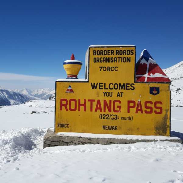
To make a summit image stand out, add scale, road lines, weather, a candid human moment or foreground detail. A photo of just the summit sign is the one everyone already has.
What Is the Best Light for Rohtang Pass Photography?
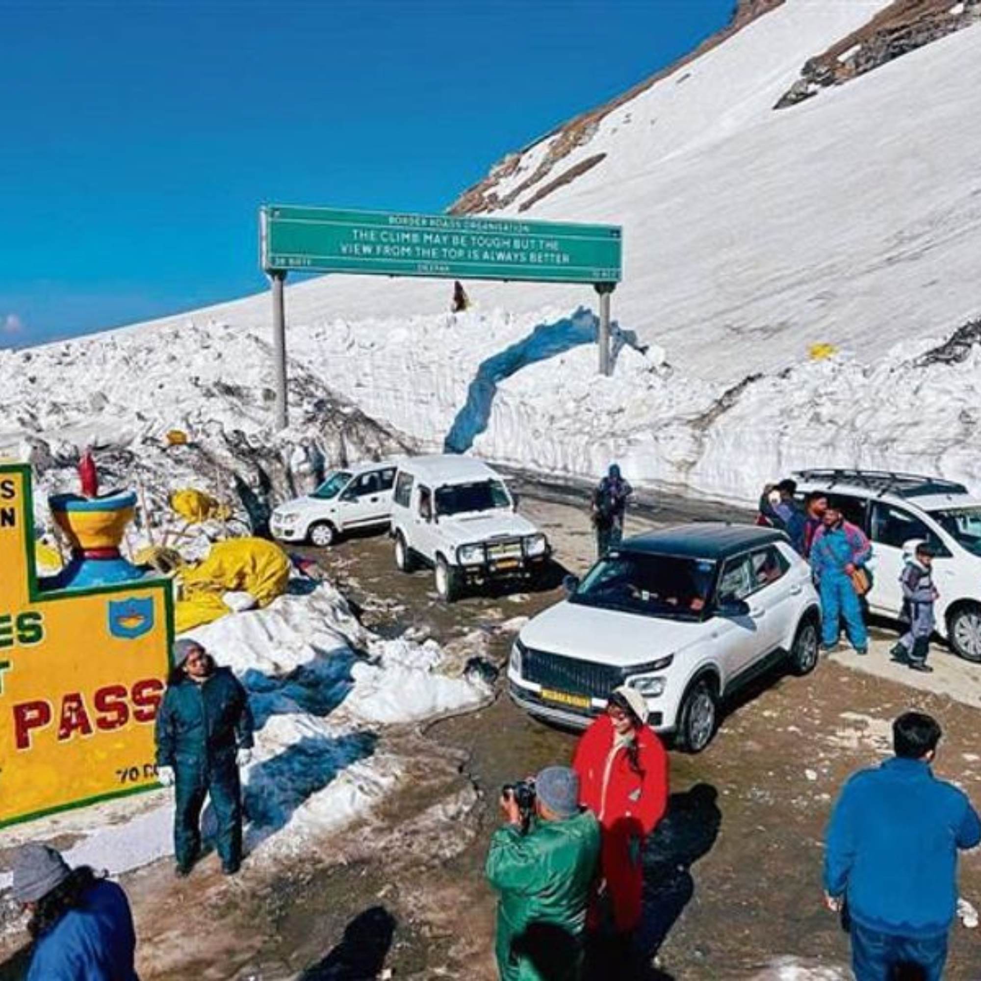
The earliest legally accessible light usually gives you softer contrast and fewer vehicles than the busiest part of the day. That is the general pattern, not a promise of golden light, clear skies or empty roads.
Midday snow throws intense highlights, glare and deep shadows at you. You can still shoot it well with careful exposure, a histogram check and an optional polariser.
Afternoon clouds and fog can hand you dramatic photographs. But the visibility can vanish in minutes, so work fast when the drama appears.
Is Rohtang Pass Sunrise Photography Actually Possible?
Honest answer: we cannot find verified official information that guarantees private tourist vehicles can reach Rohtang Top before sunrise.
Permits, barrier operations, traffic management, weather and daily road orders all control access. Any of them can change on the day.
A dawn departure may let you work at lower route stops once access is confirmed. But treat summit sunrise as a separate plan you verify, not a given. We are not printing a Manali departure time or barrier-opening time because those need confirming.
So if rohtang pass sunrise photography is your dream shot, build the day around what is actually allowed rather than the photo you imagined at home.
How Should You Photograph Harsh Midday Snow?
Bright snow fools the camera meter. It underexposes and makes the snow look grey and dull.
Inspect the histogram and the highlight warning rather than judging by screen brightness alone, which lies in bright outdoor light.
Positive exposure compensation may be needed, but the right amount changes with snow coverage, sky brightness, metering mode and camera model.
Canon suggests plus two to plus three stops only as a rough guide for snow-heavy scenes. Do not treat that as a universal setting. Test, inspect, adjust.
What Can You Photograph in Clouds, Fog and Flat Light?
When the big view disappears, shoot small. Isolated signs, people, vehicles, snow details, road markings and minimalist compositions all work.
A telephoto lens helps you pull out little pockets of contrast or cloud detail from the murk.
Poor visibility can become part of the travel story instead of a wasted day. Some of the moodiest frames come from the worst weather.
Which Month Is Best for Rohtang Pass Photography?
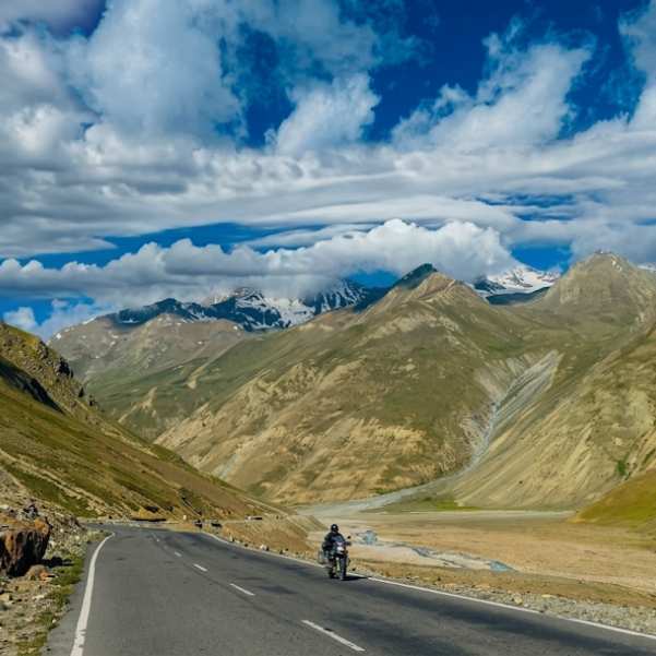
The pass is broadly tied to a May-to-October tourism season. But actual opening and closure depend on snow clearance, weather and administration, so there is no fixed annual date.
May and June
May and June are most commonly linked with the seasonal reopening, big snowbanks, bright snow scenes and heavy visitor interest.
Exact reopening dates and snow quantity change every year.
For 2026, published sources disagree on whether the opening falls on May 15, May 16, or May 17, making it best to double-check the final date with local authorities.
Our Rohtang Pass in May guide goes deeper into what that early-season window actually looks like.
July and August
Lower slopes turn greener and waterfalls run stronger. Clouds can build into dramatic frames.
But monsoon weather brings fog, rain, landslides, traffic disruption and cut visibility. This is the trade-off.
A July 14, 2026 local update reported tourist access with a valid permit. That is a dated status report, not a guarantee for any later date. Check the current road status before you leave.
Read our detailed guide to Rohtang Pass in August to learn about road conditions, rain, landslide risks, snow chances and what to expect before you travel.
September and October
Post-monsoon can clear the air and give you cleaner distant views and sharper mountain layers.
We will not guarantee clear skies, because nobody can.
Expect less roadside snow than early summer. Closure can arrive whenever winter weather returns.
Planning your trip for September or October? Read our detailed guides on Rohtang Pass in September and Rohtang Pass in October to compare weather, road conditions, crowds and snow chances before you decide when to visit.
Can You Photograph Rohtang in Winter?
Rohtang Top is normally shut to ordinary tourist vehicles during the winter closure.
Do not confuse snow spots near Manali or routes reached through the Atal Tunnel with confirmed access to Rohtang Top itself. They are different things.
Which Lenses Should You Carry to Rohtang Pass?
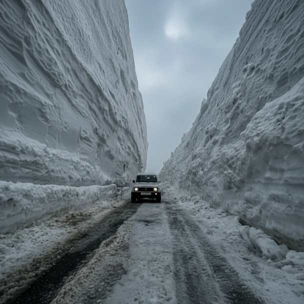
Pick lenses for the scene, not for the assumption that every mountain photo needs an ultra-wide.
Wide-Angle Lens
A 16-35mm full-frame equivalent is a practical recommendation, not a hard requirement.
It handles road curves, snow walls, summit context and foreground-led landscapes well.
Watch out for polarisers on a wide lens. A strong one can darken a wide blue sky unevenly, leaving a patchy band across the frame.
Standard Zoom
A 24-70mm equivalent is the simplest one-lens option.
It covers environmental portraits, waterfalls, vehicles, road scenes and medium landscapes.
One versatile lens also means fewer lens changes in dust, wind, drizzle or snow, which protects your sensor.
Telephoto Lens
A 70-200mm equivalent is optional but valuable for compressed mountain layers, distant ridges, details and clean, uncluttered frames.
It is especially useful when you cannot safely move closer to your subject.
Use a fast enough shutter when shooting handheld in the wind, or the vibration will soften your frames.
Phone Photography
Clean the phone lens often. Road dust, moisture and fingerprints kill contrast faster than you would expect.
Use the main camera for best quality and an optical telephoto camera for distant layers if your phone has one. Avoid heavy digital zoom, which just smears detail.
Shoot both horizontal establishing frames and vertical ones for social.
What Camera Settings Work for Snow, Waterfalls and Mountain Landscapes?
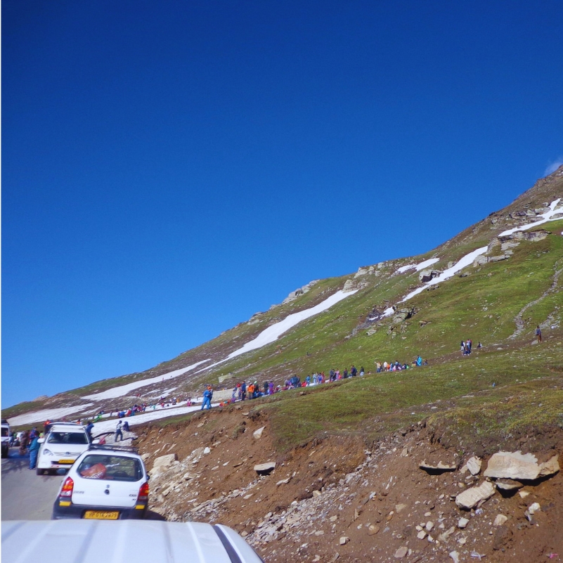
Snow and Bright Landscapes
Shoot RAW where you can. It gives you room to recover highlights and fix exposure later.
Start with the camera's meter reading, then inspect the histogram, check highlight warnings and apply positive compensation only when the scene needs it. There is no single universal compensation value that works everywhere.
Waterfalls and Meltwater
The creative choice is simple. A faster shutter freezes droplets. A slower shutter shows the water moving.
Slower exposures need stable support and careful highlight control, or the bright water blows out to white.
Any example shutter speeds are starting points, not guaranteed settings.
Handheld Mountain Landscapes
Choose an aperture that gives enough depth of field without forcing an unnecessarily slow shutter.
Raise your ISO when wind, vehicle vibration or shaky footing threaten a blurred frame. A slightly noisier sharp photo beats a clean blurry one.
Stabilisation helps with your own movement, but it cannot freeze a moving traveller, vehicle, waterfall or blowing snow.
Panoramas and High-Resolution Frames
Lock exposure and white balance across the whole sequence, or the frames will not blend.
Overlap your frames consistently.
Keep close moving people or vehicles out of the seams that need stitching, or you will get ghosting.
How Should You Compose Better Rohtang Pass Photographs?
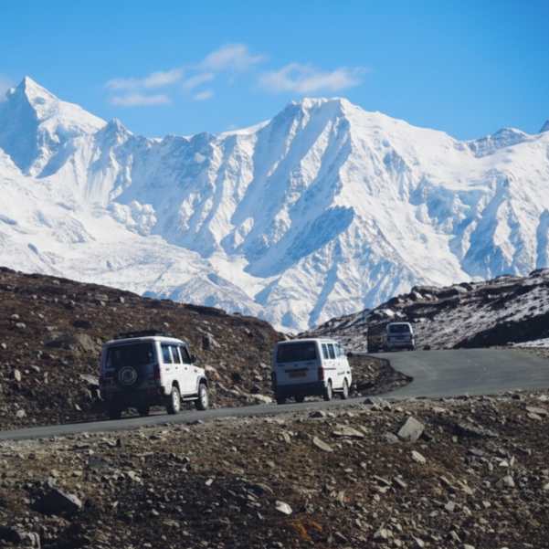
S-curves, road edges and guardrails make natural leading lines that pull the eye into the frame.
Add a person or vehicle for scale, but keep the landscape dominant. The human element is the seasoning, not the meal.
Aim for a full sequence rather than twenty versions of one shot. Wide establishing images, medium environmental frames, portraits, details and telephoto landscapes together tell the story.
Here is a shot list in plain words
Grab an arrival frame as you set off, a route-context shot showing the road and terrain, a road-curve composition, a waterfall frame at Rahala, a snow-texture close-up, a summit environment shot, a human-scale portrait, a telephoto mountain-layer frame, a vertical version for social, a weather detail when cloud rolls in, and a final return-road photograph as you head down.
What Is a Practical Photography-First Route from Manali?
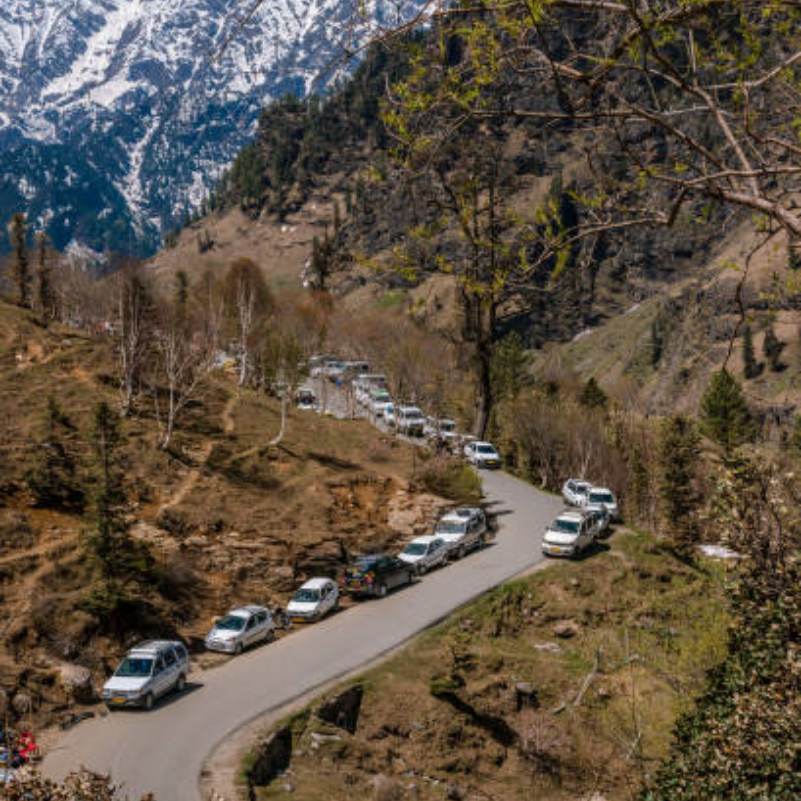
The order is Manali, Kothi, Gulaba, Rahala Falls, Marhi, Rani Nallah and Rohtang Top.
The plan only starts after you confirm the day's permit, weather and road instructions. Everything flows from that.
Prioritise three or four strong locations rather than trying to hit every roadside opening. Chasing all of them leaves you rushed at every one.
Work quickly at narrow stops with no safe space, and save your time for places with legal parking and room to work.
We are not publishing exact segment distances or guaranteed arrival times until we verify them from field records or current mapping.
If you want to pair the shoot with something more active, our guide to adventure activities in Manali has options for the rest of your trip.
What Permits and Documents Do Photographers Need in 2026?
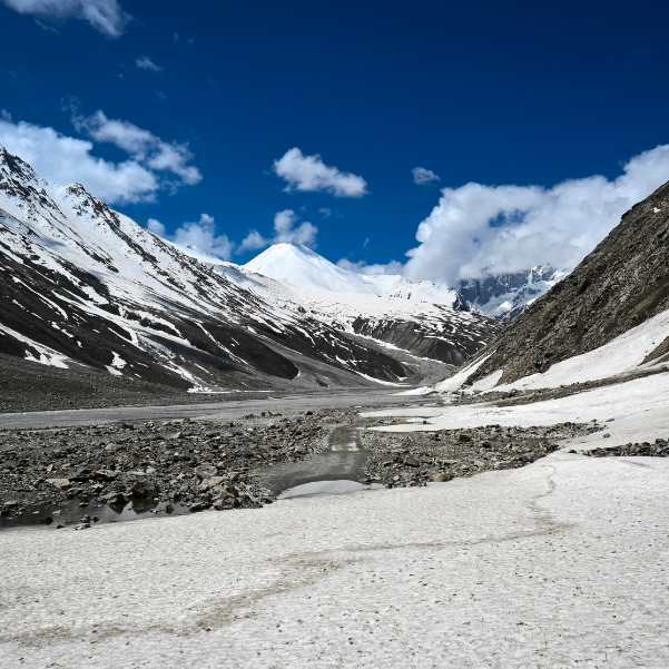
Photographers get no special exemption. You follow the same tourist-vehicle permit system as everyone else.
The tourism permit is valid for one day for travel to Rohtang and back.
The permit fee is ₹500. The congestion charge is ₹50 for a car, jeep or MUV and ₹100 for a bus or heavy motor vehicle.
The daily official quota is 800 petrol vehicles and 400 diesel vehicles.
The portal currently releases 400 petrol and 200 diesel permits at 10:00, then another 400 petrol and 200 diesel at 16:00.
The portal currently shows permits available for the next two dates.
One vehicle can get a maximum of three permits during the portal's Tuesday-to-Monday week.
Carry valid identity proof, your vehicle registration information and a valid pollution-under-control certificate.
The portal currently states the vehicle must not be more than ten years old.
A printed copy of the permit is compulsory. The official FAQ says an issued permit cannot be cancelled.
Reports on the weekly maintenance closure day are conflicting, so travelers should double-check the official portal prior to departure rather than assuming Tuesday is closed.
You can check everything on the official permit portal at rohtangpermits.hp.gov.in/Home/InformatoryScreen, with the user manual and FAQs also on that site.
👉 Want to make sure your Rohtang permit and paperwork are sorted? Message Travel Coffee on WhatsApp.
How Do You Protect Yourself and Your Camera at Rohtang Pass?
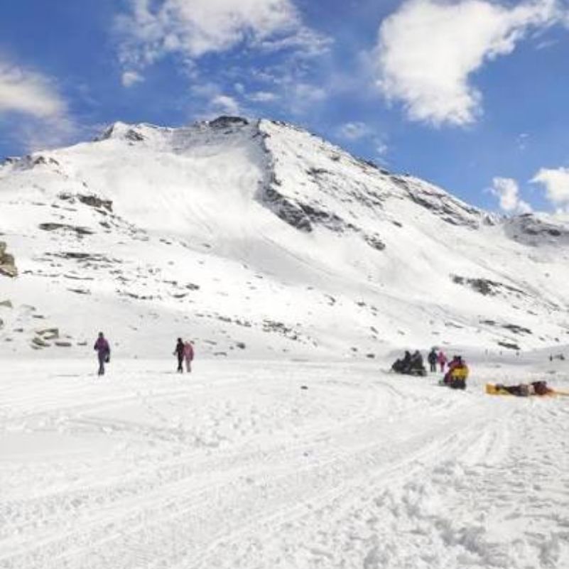
Altitude and Personal Safety
Rohtang Top sits at about 3,978 metres. That is high enough for altitude to affect you even on a short visit.
Early altitude-illness symptoms can include headache, fatigue, nausea, vomiting and reduced appetite.
Do not keep climbing when symptoms appear. Descend and seek help if they get worse, especially if they hit you while resting.
We are not implying a short visit is risk-free, and this is not medical advice. The CDC's high-altitude travel guidance is a solid reference to read before you go.
Batteries and Cold Weather
Cold drains batteries faster. Plan for it.
Carry charged spares and keep them protected and comparatively warm, close to your body.
Cut down on unnecessary screen review when battery life is tight.
Condensation and Moisture
Moving cold gear straight into warm air creates condensation, and that moisture can sit inside your lens.
Leave the equipment sealed in its bag while it warms up gradually.
Avoid unnecessary lens changes in blowing snow, dust, rain or strong wind.
Traffic and Roadside Safety
Never stand in an active lane, stop on a blind corner or step into a rockfall area for a photograph.
Instructions from police, administration and Border Roads personnel always beat your shot list. No exceptions.
Do not climb snow walls or cross barriers. As one example of how fast things change, a sudden snow event disrupted vehicles near Rohtang in May 2026. That does not predict the weather on any other day, but it shows why you stay ready to abandon the plan.
Can You Fly a Drone at Rohtang Pass?
Do not assume a tourist drone is automatically allowed at Rohtang Pass.
Indian drone operations depend on the current Digital Sky airspace classification, aircraft compliance, pilot requirements and local restrictions.
Green, yellow and red zones each carry different operating requirements.
Check the live Digital Sky map and get every required permission before you even carry a drone up there, let alone fly it.
The official references are the Digital Sky portal at digitalsky.dgca.gov.in and the DGCA site.
Field Notes from Travel Coffee's Rohtang Photography Trips
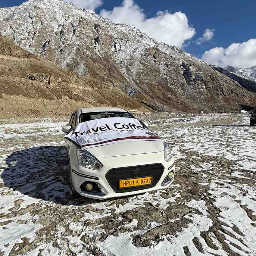
In our experience, the road teaches you to hold your plans loosely. The best frames rarely come from the spot you expected.
[FIELD NOTE: What the team expected to photograph at Kothi or Gulaba and what composition actually worked.]
Our team recommends treating the middle of the route as the real decision point, where the weather ahead usually shows its hand.
[FIELD NOTE: How cloud, traffic or visibility changed the plan near Marhi or Rani Nallah.]
On our last verified field visit, the strongest summit frame came from a specific lens choice rather than luck.
[FIELD NOTE: Which verified lens or focal length created the strongest summit photograph.]
What these observations teach you is simple. Flexibility beats a rigid plan on this road, and the photographers who accept that come home with better work.
Is a Photography-Focused Rohtang Tour Worth Booking?
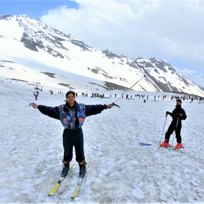
A planned vehicle, permit support and local route knowledge cut a lot of the uncertainty around access, stop selection and shifting road instructions.
A customised plan can prioritise your photography time and preferred locations, always subject to traffic, weather, safe parking and official controls.
We will not promise unrestricted stops, empty viewpoints, summit sunrise, specific weather or a set number of photographs. Anyone who does is not being straight with you.
If that sounds like the right support, our Rohtang Pass tour packages are built around exactly this kind of trip.
Planning to continue over the pass or want an alternative on the Lahaul side? Our Sissu tour packages work well for that.
Final Photography Advice
A small set of deliberate photographs beats hundreds of rushed roadside snaps every time.
Put safe stopping, changing light, weather and a varied visual story ahead of ticking off locations.
Verify the permit, the maintenance closure day and the road status again right before you leave. Conditions on this road do not wait for you.
Explore Our Curated Rohtang Pass Tour Packages
 5D/4N
5D/4NPremium Manali Tour Package with Private Cab and Rohtang Pass
4D Manali
₹14,999₹19,999SAVE INR 5,000/ person 5D/4N
5D/4NBest Value Manali Volvo Package with Rohtang Pass
3D Manali
₹9,999₹13,999SAVE INR 4,000/ person 7D/6N
7D/6NComplete Shimla Manali Volvo Package with Rohtang Pass
2D Shimla•2D Manali
₹15,999₹19,499SAVE INR 3,500/ person
Related topics
Frequently Asked Questions
What are the best photo points at Rohtang Pass?
The main ones to scout are Kothi, Gulaba, Rahala Falls, Marhi, Rani Nallah and Rohtang Top. Kothi gives you layered valley frames, Gulaba opens into meadows and road curves, Rahala Falls is your water shot, Marhi offers open scale, Rani Nallah brings snow walls, and Rohtang Top delivers the summit views. Which ones you actually stop at depends on safe parking and the day's traffic instructions.
What is the best time of day for Rohtang Pass photography?
The earliest legally accessible period usually gives you softer light and fewer vehicles than the midday crowd. We cannot promise a specific hour, empty roads or golden light, because permits, barriers and daily road orders control when you get up there. Plan around confirmed access rather than a fixed clock time, and be ready to work with whatever light the mountains hand you.
Can tourists photograph sunrise from Rohtang Top?
Summit sunrise is not guaranteed. We could not find verified official information confirming that private tourist vehicles can reach Rohtang Top before sunrise. Barrier access, traffic management and daily road instructions all have to line up, and any of them can change. A dawn departure may let you shoot lower stops early, but treat a summit sunrise as a separate plan you confirm on the ground, not an invented access time.
Which lens is best for Rohtang Pass?
Bring a wide-angle for road curves, snow walls and summit context, and a telephoto for compressed mountain layers and distant ridges. If you want one lens only, a 24–70mm equivalent standard zoom is the most convenient choice. It covers portraits, waterfalls, road scenes and medium landscapes, and keeps you from swapping lenses in dust, wind or snow, which protects your sensor on this exposed route.
What camera settings should I use for snow?
Bright snow fools the meter into underexposing, so the snow looks grey. Start from the meter reading, then check the histogram and highlight warning instead of trusting the screen. Apply positive exposure compensation only when the scene needs it. The right amount changes with snow coverage, sky brightness, metering mode and camera model, so there is no single universal setting. Shoot RAW if you can for more recovery room.
Is a tripod worth carrying to Rohtang Pass?
A tripod helps for slow-water waterfall shots, panoramas and low light. But traffic, wind, crowds and short mandatory stops often make it impractical, and there is rarely time or space to set one up at a narrow pull-off. Carry it if slow water or panoramas matter to you, but expect to shoot handheld at most stops. A compact travel tripod is easier to justify than a heavy one.
Do photographers need a separate Rohtang Pass permit?
No. There is no verified separate photographer permit or exemption. You follow the same tourist-vehicle permit rules as every other visitor, including the ₹500 permit fee and the congestion charge. Carry valid ID, vehicle registration details, a valid pollution certificate and a printed copy of the permit. Book through the official portal, and remember an issued permit cannot be cancelled.
Which month has the clearest views at Rohtang Pass?
It varies. Early summer, roughly May and June, brings bright snow scenes but heavy crowds. Monsoon months, July and August, green up the lower slopes and swell the waterfalls but risk fog, rain and landslides. Post-monsoon, September and October, often clears the air for cleaner distant layers. We cannot guarantee visibility in any month, since mountain weather does what it wants regardless of the calendar.
Can I fly a drone at Rohtang Pass?
Not without checking first. Do not assume a tourist drone is automatically allowed. Indian drone rules depend on the current Digital Sky airspace zone, aircraft compliance, pilot requirements and any local restrictions, and green, yellow and red zones each work differently. Check the live Digital Sky map and secure every required permission before carrying or flying a drone. Rohtang-specific clearance remains something you must verify right before you travel.
Can a phone camera take good Rohtang photographs?
Yes, if you use it well. Clean the phone lens often, because road dust, moisture and fingerprints wreck contrast fast. Use the main camera for the best quality and the optical telephoto camera, if your phone has one, for distant layers. Avoid heavy digital zoom, which just smears detail. Control your exposure manually for snow, and shoot both horizontal establishing frames and vertical ones for social.
How do I protect camera equipment from cold and condensation?
Carry charged spare batteries and keep them warm close to your body, since cold drains them quickly. When you come back into warm air, leave your gear sealed inside its bag so it warms up gradually and moisture forms on the bag, not inside your lens. Avoid unnecessary lens changes in blowing snow, dust or rain. A little planning keeps your kit working through a full day at altitude.
More about Rohtang Pass
 Rohtang Pass
Rohtang Pass Altitude Sickness in 2026: Symptoms, Prevention and When to Turn Back
Planning a trip to Rohtang Pass in 2026? Learn the symptoms of altitude sickness, prevention tips, and when to turn back for a safe mountain journey.
- Altitude & Health
- First-Time Travellers
 Rohtang Pass
Best Places to Visit on the Way to Rohtang Pass in 2026
Discover the best places to visit on the way to Rohtang Pass in 2026, including Solang Valley, Rahala Waterfalls, Gulaba, Marhi, and more for an unforgettable Himalayan road trip.
- Places to Visit
- Road Trips
 Rohtang Pass
15 Rohtang Pass Mistakes to Avoid in 2026: Permits, Taxi Scams, Timing and Snow Rentals
Planning a Rohtang Pass trip in 2026? Discover 15 common mistakes to avoid, from permits and weather to packing and safety, for a smooth mountain adventure.
- First-Time Travellers
- Permits & Fees