
Trekking in Zanskar in 2026: Routes, Difficulty and How New Roads Change the Trails
Most people planning trekking in Zanskar start with an itinerary they found online. They copy the stages, book the dates, and find out on day two that part of the "trail" is now a motor road with trucks on it.
The route name has not changed in twenty years. The ground under your boots has.
That is the biggest mistake we see. In 2026, the right question is not "which famous Zanskar trek should I do?" It is "where exactly will I walk, and where does a jeep now do the job better?"
Quick Answer: What Is Trekking in Zanskar Like in 2026?
Zanskar still gives you serious high altitude trekking, with passes above 5,000 metres, long walking days and very few ways out.
But many classic itineraries now overlap with modern roads. The Government of India formally dedicated the 298 km Nimmu Padum Darcha road on 15 October 2026, and the Shinkun La Tunnel is still under construction.
So choose your trek on four things: the quality of the walking, the current roadhead, the altitude profile and your evacuation options. An old route name alone tells you very little now.
If you want the full story of the new highway itself, read our Nimmu Padum Darcha road guide before you shortlist a trek.
How Have New Roads Changed Trekking in Zanskar?
The Old Trekking Map and the 2026 Reality
Most famous Zanskar itineraries took shape when no road linked the villages. If you wanted to reach the next valley, you walked. Every stage in those old guidebooks existed because it had to.
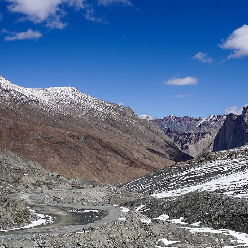
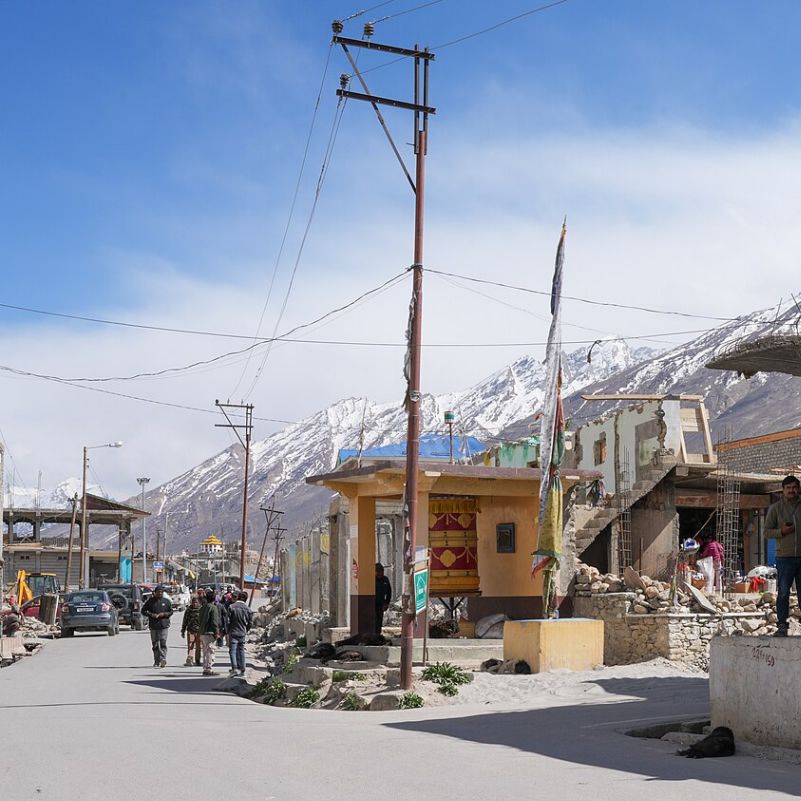
That world has shifted. Several modern roads now cut across sections that trekking books still describe as walking days.
The new highway connects Nimmu in Ladakh with Darcha in Himachal Pradesh, running right through Zanskar. In places, it follows the same broad corridors that trekkers once had to themselves.
The region itself knows things are moving fast. In October 2026, the Tourist Office Zanskar released the region's first dedicated traveller's guide.
That official guide covers trekking and mountaineering routes, maps, road connectivity, permit information, medical facilities, emergency contacts and responsible tourism. If you plan a trek next season, read it alongside any operator itinerary.
Road Encroachment Does Not Mean Zanskar Trekking Is Finished
Let's be fair to both sides. Roads bring real benefits for trekkers. They shorten long approach marches, and they give you more places where a vehicle can pick up a sick or injured person.
But roads also bring road walking, construction traffic and dust. Nobody flies to Leh to walk on fresh gravel behind an excavator.
One current trekking operator, Himalayan Ecotourism, says plainly that road construction affected its traditional Zanskar starting route. Its answer was to redesign the start and use Kanji as an alternative.
That is the healthy response. The trekking has not died. It has moved, and the better operators are moving with it.
Why Old Itineraries Can Mislead You
Here is a concrete example. One published Lamayuru to Darcha itinerary from Ju Leh Adventure gives trekkers the option to drive from Karsha to Padum and from Padum to Raru instead of walking.
Think about what that means. Stages that used to be core walking days now appear as optional jeep rides on the operator's own plan.
An itinerary written ten or twenty years ago may describe the historic trail perfectly. It just may not describe the best trekking you can do today. Both things can be true at once.
The same goes for blogs and trip reports. A beautiful write up from a decade ago tells you what the valley felt like then. It cannot tell you where the road crews worked last summer.
What we tell our travellers is simple: ask for the walking route, not the route name. If an operator cannot tell you which stretches are trail and which are road, keep looking.
Which Zanskar Trekking Routes Are Still Worth Doing?
All the main historic routes can still give you a great trek. The difference in 2026 is that you choose your sections deliberately instead of following a stage list from an old book.
For each route below, think in three layers. What the historic trek looked like, what road access has changed, and what a sensible modern version looks like.
Lamayuru to Padum
This is the traditional western route into Zanskar. It starts near Lamayuru and heads through villages and camps including Wanla, Hanupatta, Photoksar and Lingshed before dropping toward Padum.
Historically, this was a classic demanding multi pass route. You climb, descend and climb again, day after day, through some of the most remote settled country in Ladakh.
Roads have changed the picture at the edges. Indie Trekking notes that modern road access can shorten sections of the historic western Zanskar route, and some stretches now work mostly as road corridors.
So the modern question is simple: where should you start walking? We will not give you one fixed 2026 roadhead, because no single honest answer exists. It depends on construction progress, the month and how much road walking you will accept.
What we can tell you is that at least one specialist, Himalayan Ecotourism, now starts from Kanji to bypass road affected terrain. A sensible modern version keeps the high passes and the villages, and drops the stretches where trucks now run.
If you want help building a Ladakh trip around a trek like this, our Ladakh tour packages page shows how we plan the road and stay side of things.
Lamayuru to Darcha, the Classic Full Crossing
This is the big one. It joins the western Zanskar crossing from Lamayuru with the southern route toward Shingo La and Darcha, linking Ladakh to Himachal on foot.
One currently published version from Ju Leh Adventure covers 291 km over 19 trekking days, with a listed maximum elevation of 5,062 m.
Please read those numbers carefully. They describe that one itinerary. They are not the universal 2026 length or duration of the route, because modern roadheads can cut out walking and shorten the whole thing.
Remember too that the same itinerary lets you drive Karsha to Padum and Padum to Raru. So even the published distance includes choices you make along the way.
Honestly, the full crossing suits experienced trekkers with plenty of time and the flexibility to redesign road affected sections as they go. If you have a rigid three week window and zero spare days, this route will stress you.
The modern version of this trek is less "walk every historic stage" and more "walk every stage that is still worth walking." That shift sounds small. On the ground, it changes your whole experience.
Padum to Darcha or Darcha to Padum via Shingo La
Shingo La is the defining high pass of this route. Sources place it somewhere around 5,080 to 5,100 metres, and published figures differ slightly.
Direction matters here more than most people realise. When you walk from the Padum side, you spend days in Zanskar before reaching the pass. That gives your body more time at altitude before the big climb.
Start from Darcha instead, and you come up from the lower Himachal side and climb toward Shingo La quickly. You get less time to adapt and more chance of altitude trouble.
Now the 2026 twist. The new Nimmu Padum Darcha road follows the same broad southern corridor. So before you book either direction, ask exactly how much of your itinerary is trail and how much is road.
A small insider tip for the Padum end: spend an evening drinking salted butter tea in a homestay kitchen in Padum. Ask your host about the trail ahead. Locals often know about a washed out section or a new road cut before any operator does.
If you plan to start or finish on the Himachal side, our Manali tour packages can help you sort out the road journey around the trek.
Kanji and Western Zanskar Alternatives
Kanji earns its place in a 2026 article for one reason. It shows you what the future of Zanskar trekking looks like.
Himalayan Ecotourism enters through Kanji and crosses Nyugutse La before it rejoins the classic western Zanskar route. The team chose this approach specifically because road construction affected their traditional route.
That is not a gimmick. It is a working example of a redesigned route, built around where the road is today rather than where no road used to be.
In our experience, this is where good Zanskar trekking keeps heading. Less copying of history, more smart rerouting by people who actually walk the ground every season.
Remote Shade Valley Style Routes
Then come the remote, expedition style routes into the interior, like those around the Shade valley. These suit experienced trekkers who want real isolation and accept everything that comes with it.
We will not give you fixed days, a roadhead, a route, permits, altitude or a price for these here. Anyone who quotes all of that from a desk is guessing.
River conditions, road construction and evacuation options can all change from one season to the next. These routes need current local reconnaissance before anyone commits to dates.
If this is the kind of trek you want, start the conversation early. Give a specialist time to check conditions with people on the ground, and keep your own dates loose enough to follow their advice.
What About the Phugtal Monastery Trek?
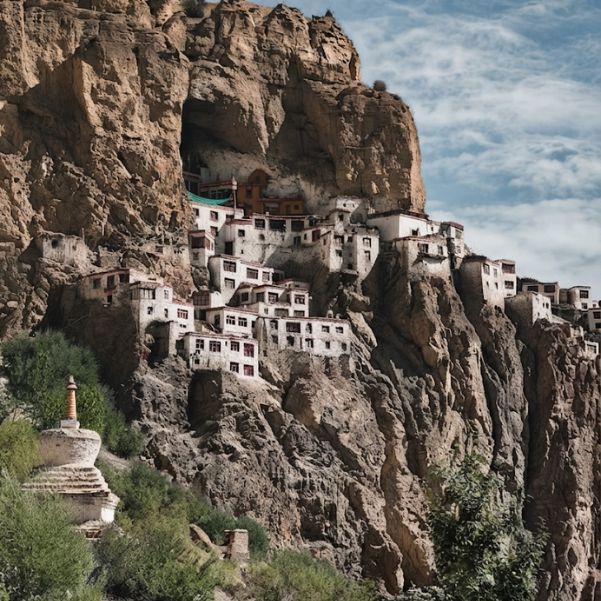
Phugtal sits inside the wider southern Zanskar trekking network, and road construction has changed how travellers approach it too.
We have covered its routes, roadheads, days and costs in a separate guide. Read our Phugtal Monastery trek article before you plan that walk.
Which Zanskar Trek Is Best for Your Experience Level?
First High Altitude Trekker
If this is your first trek at real altitude, skip the isolated multi pass expedition. Look at shorter walking built around villages or monasteries, where you sleep near people and can stop if your body says so.
One warning matters here. Non technical does not mean easy. You will not need ropes on most Zanskar trails, but altitude does not care whether the path is technical.
A gentle first trip also teaches you how your body reacts to real altitude. That knowledge is worth more than any famous route name on your first visit.
Fit Intermediate Trekker
If you have done a few Himalayan treks and handle altitude well, consider supported sections of a classic route. Pick sections with fewer major passes and reliable village support along the way.
This gives you the real Zanskar feeling, with passes, villages and long valley views, without committing to weeks of remote walking.
Ask your operator to build the trek around one strong pass day rather than three in a row. You still get the high point, but your legs and lungs get a break between big efforts.
Experienced Himalayan Trekker
This is where the longer multi pass routes and remote interior options make sense.
One Zanskar trekking specialist describes serious routes as 6 to 9 hours of walking a day, elevations above 5,000 metres, no signal and few bailout options.
Treat that as one specialist's framework, not a universal grading standard. It still gives you an honest picture of what "serious" means out here.
How Difficult Is Trekking in Zanskar?
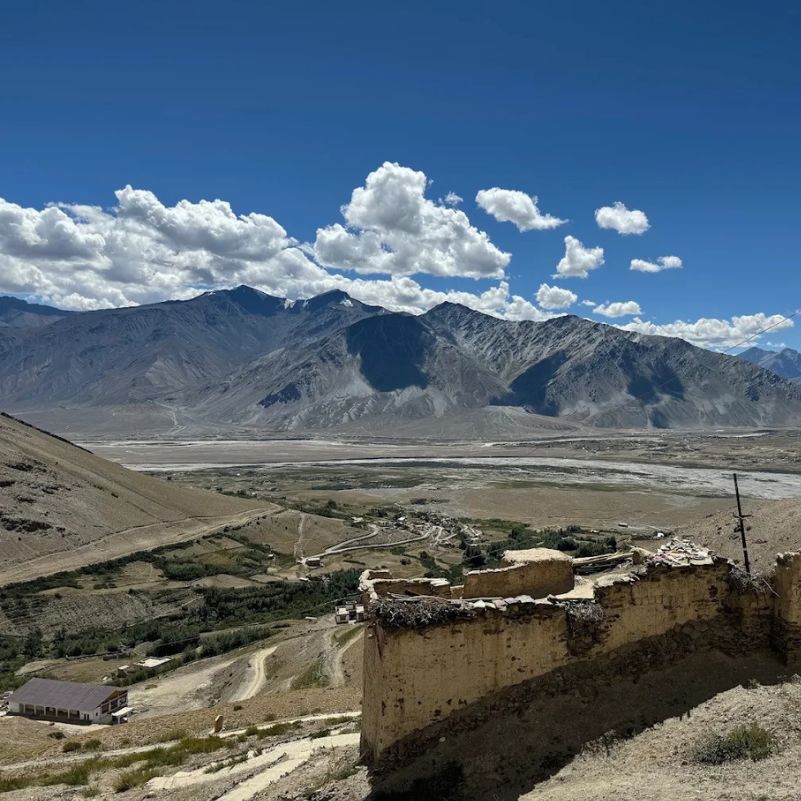
The challenge here is rarely one big obstacle. It is the stack: altitude, many walking days in a row, loose and stony ground, repeated climbing and descending, river conditions and remoteness.
A local specialist uses roughly 4 to 6 walking hours a day for its moderate category and 6 to 9 hours for serious routes. Those are that operator's own categories, not an official grading scale, but they give you a feel for the day length.
Fatigue feels different after several days at altitude. Day one feels fine. By day five, your legs feel heavy before you leave camp, your sleep gets lighter, and small climbs feel big.
Appetite often drops too, which makes the tiredness worse. Our team tells trekkers to eat even when they do not feel hungry, because an empty tank on a pass day is a real problem.
Do not ignore the descents either. Long drops off high passes on loose ground punish your knees more than the climbs punish your lungs. Trekking poles and a slower pace on the way down help a lot.
And no, most of this is not technical climbing. Several major trekking routes here need no technical mountaineering at all. The difficulty comes from endurance and altitude, not rock skills.
How Should You Acclimatise Before a Zanskar Trek?
How you arrive changes everything.
If you fly into Leh, official Ladakh Tourism advice says you should take at least 48 hours of complete rest for acclimatisation before going to higher altitude areas. Complete rest means rest. Not a market walk, not a quick monastery drive.
This is the safety warning we repeat on every planning call. People feel fine on their first afternoon in Leh, walk around, and pay for it that night. Respect the 48 hours.
The Darcha direction needs extra caution. Coming from the lower Himachal side, you can gain height fast before Shingo La, without the long run of days in Zanskar that the Padum direction gives you.
We will not hand you a universal day by day acclimatisation schedule beyond the official 48 hour Leh guidance. Your plan should come from your route, your sleeping altitudes and an experienced guide who knows both.
Do You Need a Local Guide in Zanskar?
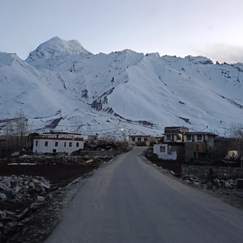
We cannot tell you that a guide is legally compulsory everywhere in Zanskar, because we have not verified that. Check the current rules for your specific route before you go.
What we can tell you is that a good local guide is practically valuable on remote routes. Often they make the difference between a smooth trek and a bad one.
Roadheads change from season to season. A guide knows where vehicles reach this year, where the road meets the trail, and which junctions confuse first timers.
They read river conditions, know which villages have space for you, and make weather calls with real local knowledge. When something goes wrong, they know how to get a message out and which extraction point makes sense.
Independent trekking may be possible on some established routes. But on a remote expedition, going alone is not automatically the safest or smartest choice.
How Should You Plan an Emergency or Evacuation?
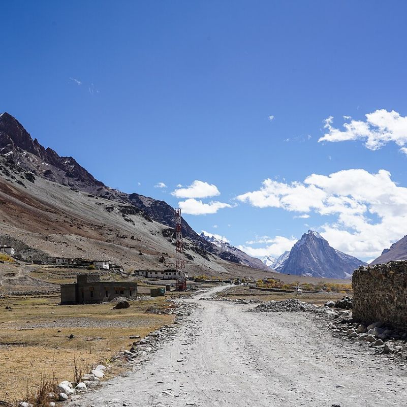
Start with the hard truth. Official Ladakh Tourism guidance says medical facilities in remote areas like Zanskar are limited. If something goes wrong on a pass, help is not around the corner.
So your emergency plan needs to exist before you take the first step, not after something happens.
Begin with an emergency communication plan. Know how your group will call for help in places where phones do not work, and who in the group carries that responsibility.
Share your full itinerary with someone outside the group. Include dates, camps and the points where you expect to reach a road, and tell them what to do if you miss a check in.
Carry trekking insurance that actually covers the altitudes and activities on your route. Read the fine print before you fly, not in a tent on day six.
Build planned vehicle extraction points into the route. Know which road you would aim for from each section. Here the new roads genuinely help, because they give you more of these points than trekkers had before.
Add contingency days. Weather, sickness or a swollen stream can cost you a day, and a plan with zero spare days pushes groups into bad decisions.
Finally, agree on clear turnaround rules before the trek starts. Decide in Leh or Manali, with a clear head, which symptoms or conditions mean you turn back. Nobody makes good decisions at altitude when they are tired and close to a pass.
Now, helicopters. Do not plan your safety around one. Helicopter evacuation depends on weather, operational availability and a usable landing location, and none of those sit in your control.
Organised aviation rescue has happened in the region. In January 2020, government helicopters rescued more than 100 stranded people during an emergency on the frozen Zanskar River.
That shows rescue can happen. It does not mean a helicopter will reach you, on your day, at your location. Your real safety net is good planning on the ground.
Is There Mobile Network on Zanskar Treks?
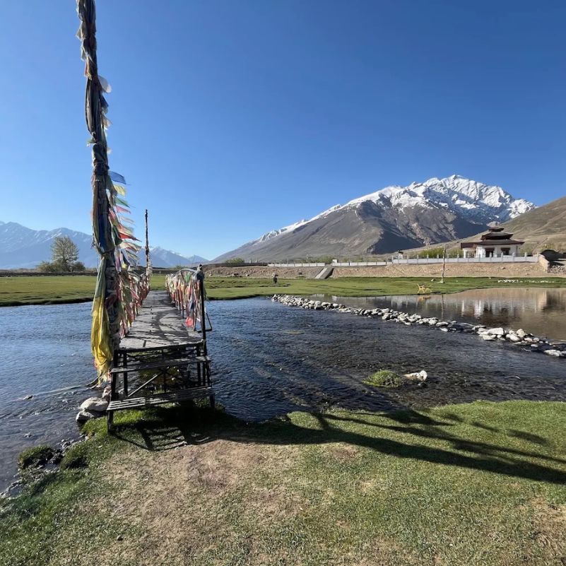
Expect long stretches without usable phone connectivity once you leave the bigger settlements. We will not promise any carrier in any remote valley, and you should be wary of anyone who does.
Download offline maps before you leave Leh or Manali, and keep them on more than one device. A dead phone with your only map on it is a bad place to be.
For serious remote routes, build a proper expedition communication plan with your operator. Check the current rules on any satellite device before you pack it, because legality and support can differ here.
What Is the Best Time for a Zanskar Trek?
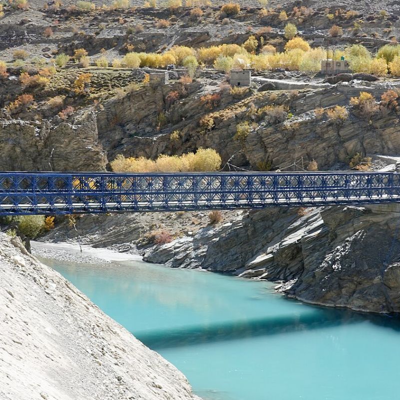
Local Zanskar specialists use June to September as the broad summer trekking season.
That does not mean every pass and route stays open for the whole window. Snow clearance, river levels, flash floods, fresh snowfall and active road construction can all change individual trails at different times.
Here is a timing tip that changes your trek: start pass days very early, before sunrise if your guide agrees. You cross the high ground with more daylight in hand, and glacier fed streams often run lower earlier in the day.
September can give you quieter trails. The trade off is colder nights and shorter daylight, so your walking days carry less margin for delays.
Our honest view: the edges of the season reward flexibility, not fixed plans. If your dates cannot move, pick a route with road access at both ends so a closed pass does not strand your whole trip.
If you want the full summer window, plan the trek around your fixed dates and then ask your operator which sections tend to clear first. The answer changes year to year.
What Should You Ask a Trek Operator Before Booking?
Start with the most important question: what is the actual walking route this season? Not the historic name. The real line on the ground.
Then ask how much of each day is trail and how much is motor road. A good operator answers this day by day without hesitating.
Ask where vehicles currently reach, and when someone from their team last physically checked the route. An itinerary nobody has reconnoitred recently is a guess dressed up as a plan.
Ask about the maximum sleeping altitude and how the acclimatisation plan works around it. Ask who your guide is and how many seasons they have worked in Zanskar.
Then ask about safety. What emergency communication will they carry, which extraction points will they use, what insurance do they need you to hold, and what happens if weather closes a pass?
Watch out for one trap in particular. Some sellers still push copy-pasted itineraries with big numbers like 291 km or 19 days without telling you which parts are road. A bigger number does not mean a better trek.
Here is a money saving tip most guides miss: Ask the operator to price walking days and vehicle days separately, so you do not pay for horses or porters across stages you will drive anyway.
For extraction at the end, ask your guide to coordinate a shared vehicle with another group heading the same way. Splitting a jeep is cheaper than booking one alone.
How We Would Choose a Zanskar Trek in 2026
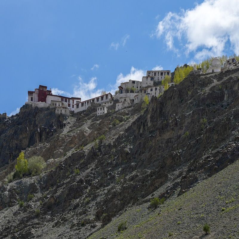
Travel Coffee plans customised Himalayan trips from Himachal Pradesh, and we watch roads and trailheads shift every season. Here is how we would think about your choice.
If you care most about villages, monasteries and high passes, a redesigned western Zanskar or Lamayuru side trek can work beautifully. Approaches like the Kanji route keep the village life and the passes while cutting out road affected stretches.
If you specifically want a Greater Himalayan crossing, a carefully checked Padum to Darcha or Darcha to Padum itinerary still makes sense. Audit it for road walking first, and lean toward the Padum direction if acclimatisation worries you.
If you are highly experienced and remoteness is the whole point, do not automatically book the most famous route. Ask a specialist about interior alternatives instead, and accept that the plan may change after their latest reconnaissance.
One thing we would skip: walking a road stage just to claim the full historic route. Hot gravel and construction trucks add nothing to your trek, and a jeep covers that stretch in a fraction of the time and energy.
If Phugtal is your main reason to come, go straight to our dedicated Phugtal guide linked earlier. It has everything we would tell you about that walk.
Explore Our Curated Zanskar Valley Tour Packages
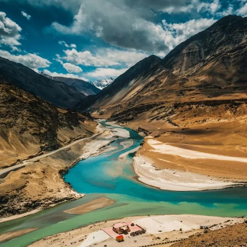 Group Tour8D/7N
Most Loved Zanskar Valley 4x4 Group Expedition
1D Manali•1D Purne / Kargyak / Gonbo Rangjon Side+2
₹32,999/ person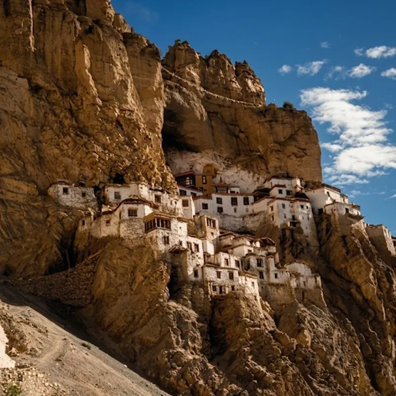 8D/7N
Private Zanskar Valley 4x4 Expedition With Phugtal Gonbo Rangjon and Baralacha La
1D Manali•1D Purne / Kargyak / Gonbo Rangjon Side+2
₹44,999/ person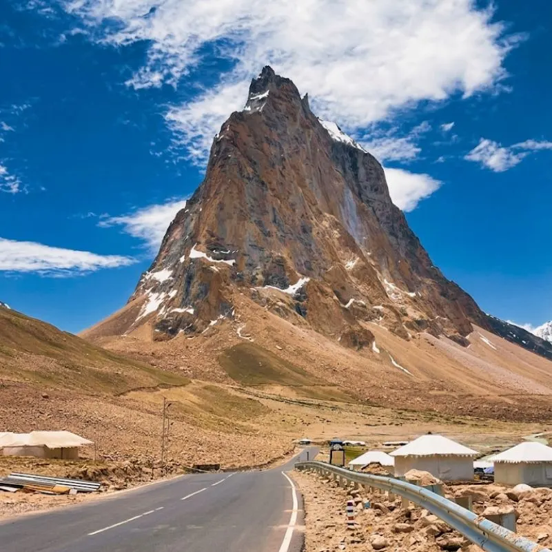 8D/7N
Private Zanskar Valley Tour With Phugtal Gonbo Rangjon and Baralacha La
1D Manali•1D Purne / Kargyak / Gonbo Rangjon Side+2
₹29,999/ person
Frequently Asked Questions
Is trekking in Zanskar difficult?
Yes, for most people. Altitude, long consecutive walking days, loose terrain and remoteness make it hard, even where the trail is non technical.
What is the best Zanskar trek for first time visitors?
A shorter village or monastery based walk, not a remote multi pass expedition. Rest properly in Leh first.
Is Lamayuru to Padum still a proper trek in 2026?
Yes, but some sections now run along roads. Ask where walking actually starts; at least one specialist now begins via Kanji to avoid road affected terrain.
How have new roads changed Zanskar trekking?
Roads shortened approaches, added road walking in places and created easier bailout points. You now need to choose your walking sections deliberately.
Is Darcha to Padum harder than Padum to Darcha?
Darcha to Padum gives you less acclimatisation before Shingo La, because you climb quickly from the lower Himachal side. The Padum direction gives you more time at altitude first.
How many days should I allow for a Zanskar trek?
It depends on your route and where you start walking. One published full Lamayuru to Darcha version runs 19 trekking days, but that figure applies only to that itinerary.
Do I need a guide in Zanskar?
We have not verified a legal requirement for every route. On remote routes, a local guide is practically valuable for roadheads, rivers and emergencies.
Do I need a permit to trek in Zanskar?
Rules can depend on your route. Check the Tourist Office Zanskar's October 2026 traveller's guide, which includes permit information.
What is the best month to trek in Zanskar?
June to September is the main season. September is quieter, but nights are colder and daylight is shorter.
Is mobile network available during Zanskar treks?
Expect long periods without usable signal away from major settlements. Carry offline maps and an expedition communication plan.
How do emergency evacuations work in Zanskar?
Medical facilities are limited, and helicopter evacuation depends on weather, availability and a landing site. Plan road extraction points and contingency days instead.
Can beginners cross Shingo La?
We would not suggest it as a first high altitude trek. Build experience on shorter routes first, and approach from the Padum side for better acclimatisation.
More about Zanskar Valley
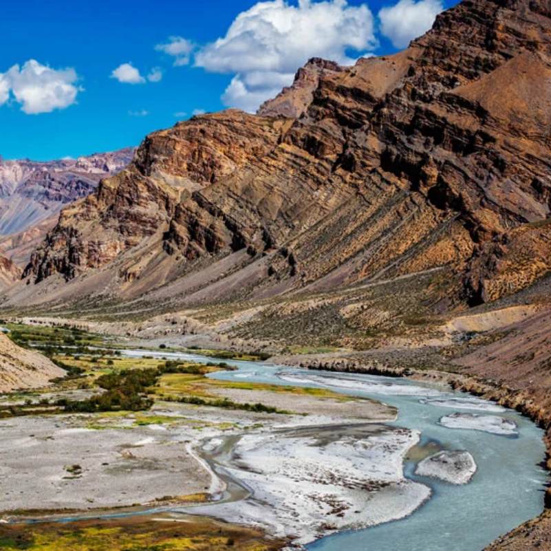 Zanskar Valley
How to Reach Zanskar from Leh: Nimmu, Lamayuru and Kargil Routes Compared
Planning a road trip from Leh to Zanskar? Compare the Nimmu, Lamayuru and Kargil routes based on distance, travel time, road conditions and overnight stops to choose the best route for your Himalayan adventure.
 Zanskar Valley
Srinagar to Zanskar via Kargil (2026): Route, Stops and Travel Time
Planning a Srinagar to Zanskar road trip in 2026? Explore the complete route via Kargil, Suru Valley, Rangdum and Pensi La Pass, including distances, travel time, overnight stops and essential road trip tips.
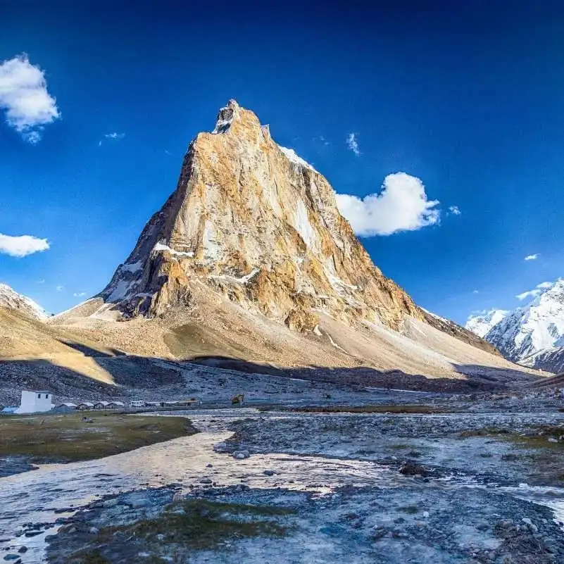 Zanskar Valley
Best Time to Visit Zanskar Valley: Month-by-Month Planning Guide
Discover the best time to visit Zanskar Valley with our month-by-month travel guide. Compare weather, road accessibility, accommodation availability and sightseeing opportunities to plan your perfect Zanskar trip.