
Rohtang Pass
The high pass at 3,978 metres on the Pir Panjal range, about 51 km from Manali. Snow, switchbacks, a mandatory permit, and the line where green Kullu ends and brown Lahaul begins. Open roughly late May to October.
- Pir Panjal · high pass
- 3,978 m / 13,050 ft
- ~51 km from Manali
- Permit required
- Open May to Oct (seasonal)
What makes it special
Rohtang Pass sits at 3,978 metres (about 13,050 feet) on the Pir Panjal range, roughly 51 km north of Manali on the old highway to Keylong and Leh. It is the geographic divide between the green Kullu valley on the south side and the dry, rocky Lahaul valley on the north. For decades it was the only road link between Manali and Lahaul, and before the Atal Tunnel opened in 2020, crossing Rohtang was the only way to get through. Now the tunnel bypasses the pass entirely for through traffic, and Rohtang has become primarily a day trip destination from Manali for people who want to touch snow, see the high altitude landscape, or do a few snow activities at the top.
Here is the honest version. Rohtang is a high mountain road, not a resort. You drive up a narrow, winding highway with switchbacks, fog, and traffic for 2 to 3 hours. At the top, there is a road junction, a handful of dhabas, snow activity operators renting out boots and jackets, and a lot of tourists taking photographs. The snow is real, the altitude is real, and the cold is real. But the experience on a busy summer weekend can feel more like a crowded roadside halt at 13,000 feet than a mountain escape. The first two weeks after the season opening (usually late May or early June) and weekday mornings in September are the quietest, cleanest versions. Peak July and August weekends are genuinely chaotic.
The name Rohtang translates roughly to "pile of corpses," earned over centuries because of the number of people who died trying to cross the pass in harsh weather. That name gives you a sense of how seriously this altitude and terrain need to be treated. This is not Solang Valley. Do not rush up from Manali on your first day without acclimatising. The nearly 2,000 metre altitude jump from Manali town to the pass is significant. Spend at least one full night in Manali before attempting it.
What makes it worth the effort, when it works. On a clear morning, the view from the top stretches across snow covered peaks in every direction, with the green Kullu valley behind you and the brown Lahaul valley opening up ahead. The snow at the pass is present well into summer, and for many visitors from the plains, this is their first contact with real Himalayan snow. If you time it right (early morning, midweek, good weather), the drive up through the deodar and pine forests, past the treeline, and into the open white expanse is genuinely memorable.
If you would rather not organise the permit, the vehicle and the early start yourself, our Rohtang Pass tour packages cover the day trip from Manali, along with longer Manali holidays that keep one full day aside for the pass.
Quick answers
- Is Rohtang Pass worth visiting?
- Yes, if you want to see Himalayan snow, experience a high altitude pass, and enjoy the dramatic landscape shift from Kullu to Lahaul. But only with the right planning. You need a permit (applied online 2 to 3 days ahead), an early morning start (leave Manali by 7 AM), and proper warm clothing. On a clear midweek morning, the drive and the views from the top are genuinely worth the effort. On a crowded summer weekend with fog and traffic, the same trip can feel frustrating. Timing matters more than anything else here.
- How much time do you need for a Rohtang Pass trip?
- Half a day. Leave Manali by 6 to 7 AM, reach the pass by 9 to 10 AM, spend 30 to 60 minutes at the top for snow play and photographs, begin your descent by early afternoon. The round trip from Manali is roughly 100 km and takes 5 to 6 hours including time at the top. Vehicles must start their return by around 2 PM.
- How do I get a Rohtang Pass permit?
- A Rohtang tourism permit is mandatory. Apply online at rohtangpermits.hp.gov.in, 2 to 3 days before your planned visit. The fee is approximately Rs 500 per vehicle plus Rs 50 congestion charge. Only 1,200 vehicles are allowed daily. Peak season permits, especially for weekends, sell out fast. Apply exactly when the booking window opens. Midweek is significantly easier.
Quick facts
Everything you need to know at a glance.
At a glance
- Altitude
- 3,978 m / 13,050 ft. A nearly 2,000 m jump from Manali town (2,050 m). Acclimatise before attempting.
- Location
- Pir Panjal range, Kullu district, Himachal Pradesh. On the old NH 3 road between Manali and Keylong.
- Nearest town
- Manali, about 51 km south. Koksar is about 19 km on the Lahaul side descent.
- Open season
- Generally late May or early June to October. Exact dates depend on snow clearance and district administration approval. Closed in winter.
- Timings
- Roughly sunrise to 2 PM. Vehicles must begin descent by early afternoon. The road can close without notice if weather deteriorates.
- Permit and fees
- Tourism permit required: approximately Rs 500 per vehicle + Rs 50 congestion. No separate entry fee. Apply online at rohtangpermits.hp.gov.in.
- Time needed
- Half day from Manali. 2 to 3 hours drive up, 30 to 60 minutes at the top, 2 to 3 hours return.
- Known for
- High altitude snow experience, the old Manali to Leh highway crossing, landscape shift from green Kullu to brown Lahaul, and the origin of the name meaning pile of corpses.
- Difficulty
- Moderate. The drive is on a paved but narrow mountain road with switchbacks. Altitude is the main physical challenge. No trekking required.
On the ground
- Mobile network
- Patchy to nonexistent near the summit. Jio and Airtel may work at lower elevations but drop as you climb. BSNL is slightly more reliable. Do not depend on mobile data at the top.
- ATMs
- None on the Rohtang road. Nearest ATMs are in Manali. Carry cash for activities, gear rental, and dhabas.
- Fuel
- No fuel on the Rohtang road. Fill up in Manali before leaving. The round trip is about 100 km.
- Food
- Dhabas at Marhi (about 40 km from Manali) serve chai, Maggi, and simple meals. A few tea stalls operate near the summit in season. Carry water, biscuits, and snacks from Manali.
- Parking
- Informal roadside parking near the summit. Gets crowded on peak days. No formal fee structure, though some areas charge Rs 30 to 50.
- Washrooms
- Very basic facilities at Marhi and near the summit. Carry tissue. Do not count on clean options.
- Permits
- Rohtang tourism permit mandatory. Apply at rohtangpermits.hp.gov.in. Rs 500 + Rs 50 per vehicle. 1,200 daily vehicle limit. Beyond Rohtang permit needed if continuing to Koksar.
- Drones
- Discouraged. The area is close to military installations and the road is a strategic highway. Do not fly without explicit local clearance.
- What to wear
- Warm jacket, thermals, gloves, cap, and waterproof shoes or boots. Temperatures at the top are 0 to 5 C even in summer. Rental gear available at the pass but quality is basic. Sunscreen SPF 50+ and sunglasses essential.
- Guides
- Not needed. Most visitors hire a Manali taxi for the round trip. Taxi return rate is roughly Rs 1,500 to 2,500. Confirm the rate includes waiting time at the top.
Seasonal weather
- May to Jun5°-5°Early season (May to Jun)
- Jul to Aug10°0°Summer (Jul to Aug)
- Sep to Oct5°-5°Autumn (Sep to Oct)
- Nov to Apr-5°-20°Winter (closed)
Suitable for
- Couples — suitable
- Families — suitable
- Seniors — with some care
- Solo — suitable
- First-timers — suitable
- Pet-friendly — not suitable
How to reach Rohtang Pass
1 approach route, with seasonal access.
From Manali
Generally late May or early June to October. Exact dates announced by the district administration each year.- Distance
- About 51 km
- Time
- 2 to 3 hours one way depending on traffic and conditions
- Road
- Paved mountain highway with switchbacks, narrow in upper sections. Can be icy in early season and foggy after noon.
- Last fuel
- Fill up in Manali. No fuel on this entire route.
The only route for day trippers. From Manali, drive north on the old Manali to Keylong highway through Kothi village, past the Gulaba checkpoint (about 20 km from Manali, where your permit is checked), through the switchbacks above the treeline, past the Marhi dhaba cluster (about 40 km from Manali, good for a tea stop), and up the final steep stretch to the summit. The road is paved throughout but narrow in the upper sections, with sharp hairpin turns, potential fog, and traffic on busy days. A high clearance vehicle is recommended. Leave Manali by 6 to 7 AM for the best conditions. Return the same way before 2 PM.
Best time to visit
Season by season, so you can plan around the weather rather than hope.
- Recommended
Early season
Late May to June
Deepest snow, cleanest air, the best version of Rohtang if you catch the opening window
- Temperature at summit
- -5 to 5 C
- Snow
- Deep and clean in late May, thinning through June
- Permits
- Available but fill quickly on weekends from mid June
- Road
- Freshly cleared, can have rough patches
The first two weeks after the pass opens (usually late May or early June) offer the deepest snow, the cleanest air, and the thinnest crowds. Snow walls along the road near the summit can be several feet high and are genuinely dramatic. By mid June, traffic picks up as the peak tourist season starts. Permits become harder to get on weekends. The snow is still present but starts thinning on sun facing slopes. This is the best overall window if you can time it.
Peak summer
July to August
Peak crowds, slushy snow, permits sell fast, go midweek for a better experience
- Temperature at summit
- 0 to 10 C
- Snow
- Present but thinning and slushy in afternoon
- Permits
- Sell out for weekends. Midweek easier.
- Traffic
- Heavy on weekends, moderate midweek
Peak tourist season. The snow is still present at the summit but gets slushy by mid afternoon. Traffic on the road is at its heaviest, especially on weekends. Permits sell out days in advance for Saturdays and Sundays. The road can see fog and rain, especially in the afternoon. Visibility drops. If you must go in this window, go on a weekday morning. The experience is still worthwhile but requires more patience and planning than early season.
- Recommended
Autumn
September to October
Sharpest light, fewest crowds, the quietest version of the pass before it closes
- Temperature at summit
- -5 to 5 C
- Snow
- Thin but present. Fresh snowfall possible in October.
- Permits
- Generally available
- Crowds
- Low to very low
Crowds thin sharply after the first week of September. The air clears, the light sharpens, and the views from the summit are the cleanest of the year. Snow is still present but thinner. Activity operators start winding down. Permits are easier to get. By mid October, the pass begins closing with the first heavy snowfall. This is the quietest, most atmospheric version of Rohtang, and it is underrated.
- Closed
Winter (closed)
November to April
Pass closed under heavy snow. No access. Solang Valley is the winter alternative.
- Temperature at summit
- -10 to -20 C
- Road
- Buried under snow. Closed.
- Permits
- Not issued
The pass is closed. Heavy snowfall buries the road under several metres of snow from November through April or May. No permits are issued. The BRO clears the road only when conditions allow, which is typically late May. Do not attempt to reach the pass in winter. For a winter snow experience near Manali, Solang Valley is the accessible option.
Things to see & do
6 things worth your time at Rohtang Pass.
Snow play and sledging at the top
30 minutes to 1 hour at the topThe most common reason people drive to Rohtang. At the top and along the last few kilometres before the summit, snow is present well into June and sometimes July. Operators at the pass rent out boots, jackets, and gloves (roughly Rs 200 to 500 per set) and offer short sledge rides (Rs 50 to 100), snow scooter rides (Rs 300 to 500), and tubing. The snow quality varies. Early season (late May, early June) gives the deepest, cleanest snow. By mid July it gets slushy. Set expectations accordingly.
Drive the Rohtang road from Manali
2 to 3 hours from Manali to the topThe drive itself is half the experience. The road climbs from Manali through pine and deodar forest, past Kothi, through Gulaba (the first checkpoint), and then above the treeline into open alpine terrain. The switchbacks in the last 15 km are tight, the altitude is noticeable, and the landscape shifts dramatically. On a clear morning, the drive up is genuinely good. Leave Manali by 6 to 7 AM for the best light and thinnest traffic.
See the landscape shift from Kullu to Lahaul
Additional 1 to 2 hoursThe pass is the boundary between two entirely different landscapes. On the Manali side, green forests, rivers, and temperate vegetation. On the Lahaul side, brown rock, sparse growth, and the beginning of the high desert. If your permit allows, driving just past the summit to see the Lahaul side opening up adds a genuine dimension to the visit. Koksar village is about 19 km down the Lahaul side. Check whether your permit covers the descent towards Koksar or is limited to the pass summit only.
Paragliding (seasonal, weather dependent)
10 to 15 minutes if availableSome operators offer short paragliding flights near the pass, weather permitting. Availability depends on wind conditions, visibility, and the operator's assessment on the day. Do not count on this. If conditions are right and a licensed operator is running, it can be exhilarating at this altitude. If conditions are wrong, it will not happen. Confirm on the ground, not in advance.
Photograph the pass and the valley views
15 to 30 minutesThe view from the pass summit, on a clear day, covers snow peaks in multiple directions, with the Kullu valley stretching south and the Lahaul valley opening north. Mid morning light is the best. Carry a wide angle lens or your phone with a clean lens. The snow covered road markers and prayer flags at the top make good foreground elements. Do not photograph army vehicles or installations. The light can be harsh by noon, so shoot early.
Cross the pass on a Spiti or Leh circuit
Full day onwardIf you are doing a Manali to Spiti or Manali to Leh circuit, Rohtang is the old route. Drive over the pass and descend to Koksar and Gramphu, where the road forks to the Spiti circuit via Batal and Kunzum Pass. This is a full day drive, not a day trip. You need the appropriate permit (beyond Rohtang, not just the tourism permit) and a vehicle in good condition. Most travellers now use the Atal Tunnel for through traffic to Lahaul, but riding or driving over the pass is still the preferred choice for bikers and those who want the old road experience.
Nearby attractions
Other places worth the detour.
Solang Valley
~37 km from Rohtang summit, ~14 km from Manali
Manali's main adventure and snow play valley, about 14 km north of town. Ropeway, paragliding, ATVs in summer, snow activities in winter. The natural backup if Rohtang permits are unavailable or the pass is closed.
Atal Tunnel
South portal ~37 km from Rohtang summit
The 9 km highway tunnel that bypasses Rohtang Pass entirely, connecting Manali to Lahaul year round. If your goal is to reach Lahaul or Spiti, the tunnel is faster and does not require a Rohtang permit.
Koksar Village
~19 km north (Lahaul side descent)
The first Lahauli village on the descent from Rohtang towards Lahaul, about 19 km north of the pass. A tea halt and police check post for vehicles continuing to Spiti via Gramphu. Reachable with a beyond Rohtang permit.
Hadimba Temple
~51 km from Rohtang, in Manali town
The 16th century wooden temple in the Dhungri cedar forest, about 2 km from Manali Mall Road. The most historically significant stop in Manali and a natural pairing on a day before or after a Rohtang trip.
Rahala Falls
~35 km south of Rohtang, on the road from Manali
A waterfall about 16 km from Manali on the Rohtang road, at around 2,500 metres. A natural photo stop on the way up. The water cascades down from the roadside and is visible from the highway.
Gulaba checkpoint and meadow
~31 km south of Rohtang summit
The first checkpoint on the Rohtang road, about 20 km from Manali. Your permit is checked here. Beyond Gulaba, the road climbs above the treeline. Some travellers stop at the Gulaba meadow for a short walk.
Marhi (dhaba halt)
~11 km south of Rohtang summit
A dhaba cluster at about 3,300 metres on the Rohtang road, roughly 40 km from Manali. The last comfortable food and tea stop before the summit. A good place to judge whether conditions are clear enough to continue.
Our packages with Rohtang Pass
Curated trips that include a visit to Rohtang Pass.
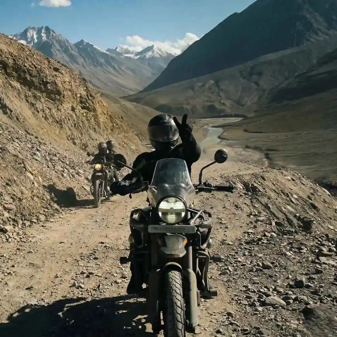 Group Tour7D/6N
Spiti Bike Trip From Manali With Chandratal
1D Sissu•1D Chandratal Camp+1
₹25,999₹29,999SAVE INR 4,000/ person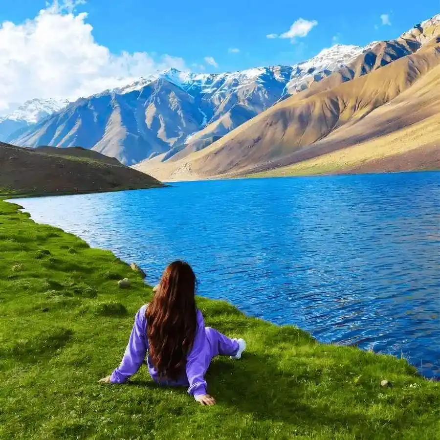 6D/5N
6D/5NMini Spiti Circuit With Chandratal From Manali
2D Kaza•1D Chandratal Camp
₹26,999₹29,999SAVE INR 3,000/ person
Common questions about Rohtang Pass
Where is Rohtang Pass?
On the Pir Panjal range in Himachal Pradesh, about 51 km north of Manali on the old Manali to Keylong highway (NH 3). It connects the Kullu valley to the Lahaul valley and sits at 3,978 metres (13,050 feet) above sea level.
What is the altitude of Rohtang Pass?
3,978 metres, or approximately 13,050 feet. This is a nearly 2,000 metre jump from Manali town (2,050 m). Do not rush up without at least one night of acclimatisation in Manali.
When does Rohtang Pass open and close?
Generally late May or early June to October. The exact opening date depends on snow clearance by the BRO and district administration approval. There is no fixed date. The pass closes again when snowfall makes the road unsafe, usually by November. Check the official permit portal for current status.
Do I need a permit for Rohtang Pass?
Yes. A Rohtang tourism permit is mandatory for all vehicles going from Manali to the pass. Apply online at the official portal (rohtangpermits.hp.gov.in). The permit is valid for one day only. Fee is approximately Rs 500 per vehicle plus Rs 50 congestion charge. Only 1,200 vehicles are allowed daily (800 petrol, 400 diesel). Peak season permits sell out fast, apply 2 to 3 days in advance.
Is Rohtang Pass the same as the Atal Tunnel?
No. The Atal Tunnel and the Rohtang Pass road are two separate routes. The tunnel bypasses the pass entirely. If you drive through the Atal Tunnel, you do not cross or see Rohtang Pass. If you want to stand on the pass itself, see the snow, and experience the old road, you need to take the Rohtang road from Manali with a permit. Most through traffic to Lahaul and Spiti now uses the tunnel because it saves 4 to 5 hours.
How far is Rohtang Pass from Manali?
About 51 km from Manali town, roughly 2 to 3 hours by car depending on traffic and road conditions. The road climbs through Kothi, past the Gulaba checkpoint, and through switchbacks above the treeline. Leave Manali by 6 to 7 AM for the best conditions and least traffic.
Is Rohtang Pass closed on Tuesdays?
Historically, Tuesday has been the maintenance closure day when no vehicles are allowed on the road. However, this rule can change year to year. Always confirm the current maintenance day through the official permit portal or with your Manali hotel before planning your visit.
What are the Rohtang Pass timings?
Roughly sunrise to 2 PM. Vehicles must begin their descent from the pass by early afternoon. The road can close without notice if weather deteriorates. Do not plan a late arrival at the top.
Can I visit Rohtang Pass in winter?
No. The pass is closed from roughly November to April or May due to heavy snowfall. The Atal Tunnel provides year round access to Lahaul and bypasses the pass entirely. If you want a snow experience near Manali in winter, Solang Valley is the accessible alternative.
Are there snow activities at Rohtang Pass?
Yes. Snow play, sledging, snow scooter rides, and tubing are the standard activities at or near the top. Snow is present well into summer. Operators at the pass rent boots, jackets, and gloves. For families and first time snow visitors, this is often the main draw. Activity prices range from Rs 50 for a sledge ride to Rs 500 for a snow scooter.
Is Rohtang Pass safe for families with children?
Yes, with precautions. Children should be warmly dressed, and the family should have acclimatised in Manali for at least one night. The altitude (nearly 4,000 m) affects children more quickly than adults. Do not push children who show signs of altitude discomfort (headache, nausea, dizziness). The drive is long and the road is winding. Carry motion sickness medication if your children are susceptible.
What should I carry to Rohtang Pass?
A warm jacket, thermals, gloves, a woollen cap, and waterproof shoes or boots. Temperatures at the pass can be 0 to 5 degrees even in summer. Rental gear is available at the pass but quality is basic. Bringing your own warm layers is better. Also carry water, biscuits or snacks, sunscreen, and sunglasses. The UV at 13,000 feet is strong.
Related guides
Posts about Manali
- Medical Help in Manali for Tourists 2026: Hospitals, Pharmacies and Emergency Steps
- Vegetarian and Jain Food in Manali 2026: Where to Eat Without Guesswork
- Mobile Network, Internet, UPI and ATMs in Manali 2026: What Works Where
- Shimla to Manali in 2026: Distance, Travel Time, Bus vs Cab and the Best Transfer Plan
- Manali with Pets in 2026: Road Travel, Pet-Friendly Stays, Snow Safety and Practical Rules
- Is Manali Safe for Solo Female Travellers in 2026? Areas, Transport and Winter Safety