
Spiti Valley in August 2026: Weather, Road Status, Route and Honest Travel Guide
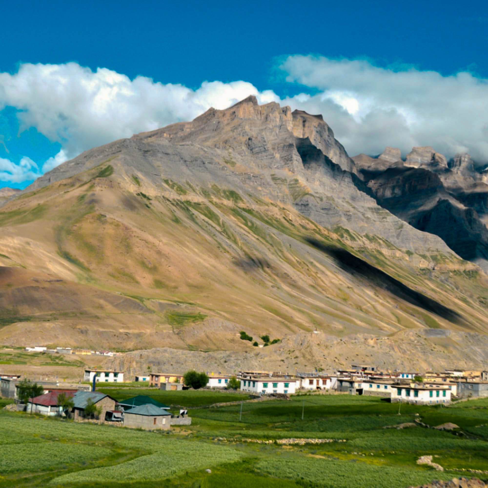
If you are trying to figure out whether Spiti Valley in August is a smart plan or a risky one, here is the honest version most blogs will not give you.
The valley itself sits in a rain shadow, so Kaza and the high villages usually stay dry and open. But the roads you take to get there run through the full force of the Himachal monsoon.
We run trips on these roads every season, and August is the month where the biggest headaches almost never happen inside Spiti. They happen on the approach.
Quick Answer: Is August a Good Time to Visit Spiti Valley?
Yes, August can be a good time to visit Spiti Valley in August, with a big condition attached.
The main valley lies in a cold desert rain shadow, so Kaza, Key, Kibber and the high villages usually stay dry and accessible. Summer attractions are open and village life is at its most active.
The problem is the approach. Roads through Kinnaur, Shimla side, Manali side and lower Himachal can get hit by landslides, rockfall, streams across the road and short closures during the monsoon.
Keep two buffer days. Check the road status the same day you plan to travel. Do this and August works. Skip it and one landslide can wreck a tight plan.
If you want someone to handle the routing and stays, our Spiti Valley tour packages come with a local driver and a team that actually picks up the phone.
What Is the Weather Like in Spiti Valley in August?
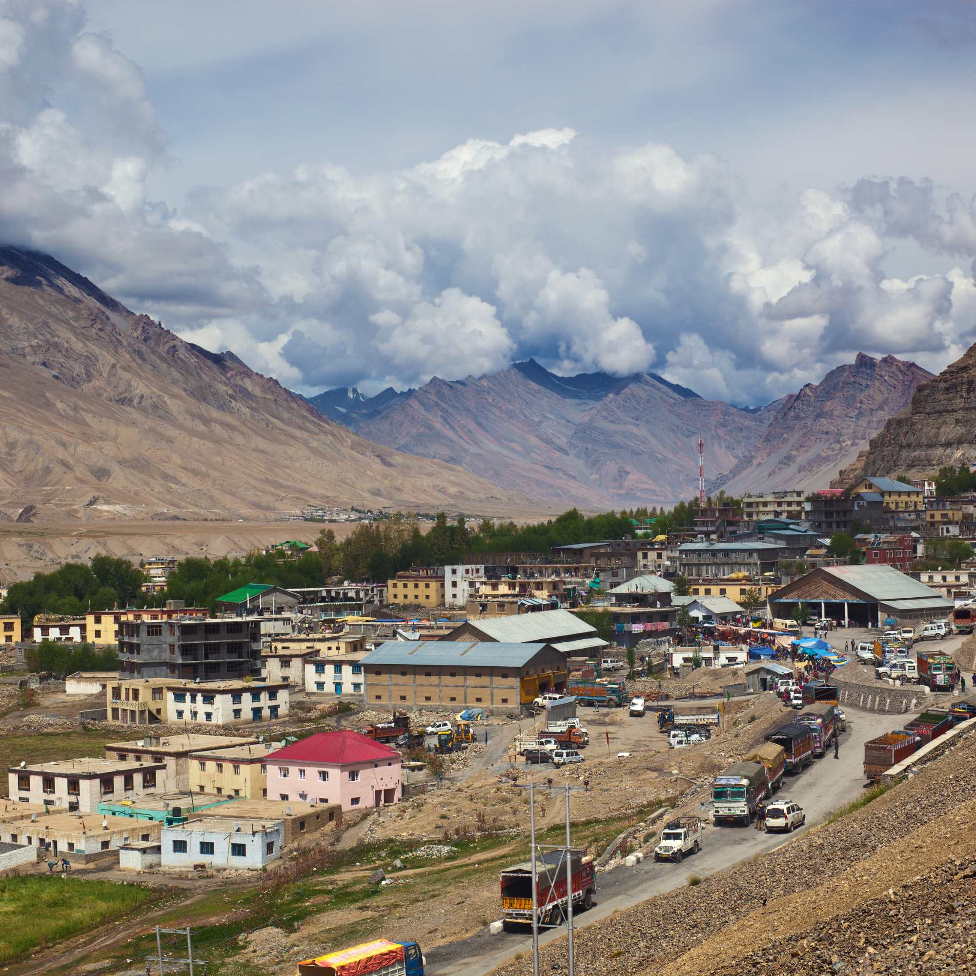
Why August temperature figures vary
One common mistake travellers make is searching for a single temperature figure for Spiti Valley and assuming it applies everywhere.
Spiti does not work that way. Kaza, Chandratal, Kunzum Pass and the high altitude villages are located at different elevations, so the temperature can vary significantly from one place to another.
Some weather sources show August temperatures between approximately 1°C and 12°C, while others suggest a range of around 4°C to 15°C. In lower or sunnier areas, daytime temperatures may occasionally reach 20°C or higher, while nights can still fall below 10°C.
These figures are not necessarily incorrect. They are often based on different locations, elevations, weather stations and observation periods.
The best approach is to avoid planning your trip around one average temperature figure. Check the latest weather forecast for Kaza, Chandratal and each overnight stop before packing.
Carry warm layers, a waterproof jacket and suitable footwear, even when the daytime forecast looks pleasant.
Does it rain in Spiti during August?
Spiti is a cold desert and a rain shadow region, so it gets far less monsoon rain than the rest of Himachal.
That is the good news. The bad news is that this does not make your whole trip rain free.
Shimla, Kinnaur, Manali and the lower approach roads can get heavy rain even on a day when Kaza is bone dry and sunny.
So a clear forecast for Kaza tells you nothing about whether the road 200 km back is blocked by a fresh landslide. The valley being dry and the road being safe are two different things.
Is early August different from late August?
Conditions shift from week to week, not neatly from early to late month.
We have seen a calm first week followed by a washed out third week, and the reverse. Nobody can promise you that one half of August is safer than the other.
Check a seven day forecast, watch for IMD alerts, and read the district road updates a few days before you leave. That tells you more than any monthly average ever will.
Is Spiti Valley Safe During the August Monsoon?
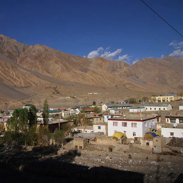
The valley and the approach roads have different risks
This is the single most important idea in the whole article. The inside of Spiti can be calm and dry while a road hundreds of kilometres away is blocked.
The risks in August are almost all on the approach. Temporary landslides, loose rocks rolling onto the road, streams overflowing across the track, patches of fog, long traffic queues at repair zones, and arrivals that run hours late.
None of this makes Spiti a dangerous destination. It makes the journey unpredictable. Those are not the same thing, and travellers who understand the difference plan much better.
Who should reconsider an August trip?
August is not for everyone.
If you have a non refundable flight the day after your circuit ends, no spare days in your plan, poor altitude tolerance, very young children without a doctor's guidance, or a hard need for roads that always stay open, this month will stress you out.
That does not mean the destination is unsafe for everyone. It means August rewards flexibility and punishes rigid plans.
Why two buffer days matter
Two buffer days are not wasted days. They are the difference between a relaxed trip and a ruined one.
A buffer day absorbs a missed excursion, a short road closure or a late arrival. When Kunzum shuts for a day, your buffer covers it instead of your entire schedule collapsing.
Never book a flight or an important train the same day you cross a high altitude pass. If that pass closes, you miss the connection. Give yourself room.
What Is the Spiti Valley Road Status for August 2026?
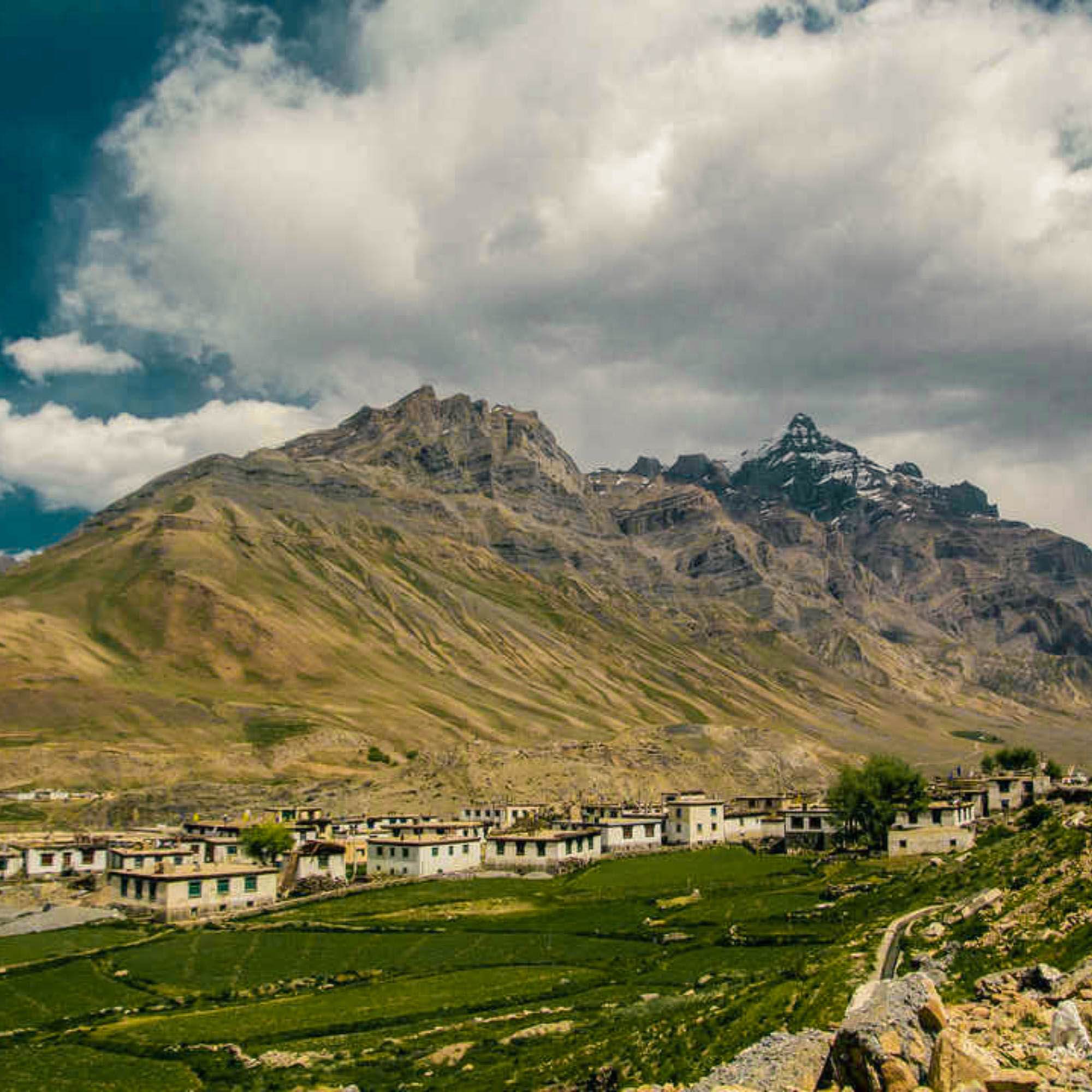
Here is the honest, current picture rather than a month-long forecast, which nobody can give you. This is the status as of 10 August 2026, and you should still verify it the same day you travel.
Both routes into Spiti are open, and the full circuit is running. On the State Emergency Operation Centre report covering the situation through 9 August, Kinnaur was not among the districts reporting blocked roads, and Lahaul and Spiti had only a handful of blocked link roads, none of them on the Kaza highway. The heavy monsoon damage that day sat in Mandi and Kullu.
The thing that actually decides an August trip is not whether the road is open. It is the weather on the approach. The IMD has the monsoon active again from the evening of 10 August, with orange alerts across the Chamba, Kangra and Mandi belt for the 10th and 11th, some easing on the 12th and 13th, and another active spell from the 14th to the 16th. Spiti itself sits in a rain shadow and stays dry. The Kullu and Kinnaur roads that get you there do not.
Shimla, Kinnaur and Kaza route
Open. Kinnaur's NH-5 is carrying traffic, and this remains the gentler entry for altitude gain and the better choice for sedans and first-timers. But be clear about the trade in monsoon: this is the landslide-exposed corridor, not the safe one. Maling Nala, the Negulsari zone and the Wangtu to Sumdo stretch all block after heavy rain, and there is no bypass. Plan it with a buffer day. Our Spiti road status guide tracks this route in detail.
Manali to Kaza through Kunzum Pass
Open, and through since late May. BRO cleared Kunzum Pass from both sides in the second half of May and the road has carried traffic since. One honest caveat on vehicle class: the late-May reopening notice specified light 4x4, and we have not seen a formal notification lifting it, though the district feed that still carries it also still asks for snow chains at Kunzum in August, which is not a real condition. Our read is that the notice is stale rather than the road restricted, but ring a Manali or Kaza driver on the morning you cross. What does not change is that the roughly 47 km Gramphu-Batal stretch stays rough, its water crossings run lowest before 10 AM, and Kullu has been among the worst-hit districts all monsoon. Full detail in our Manali to Kaza road status guide.
Is Chandratal accessible in August?
Yes. The Batal to Chandratal diversion cleared in June and the camps came online through mid-June, so August sits in the middle of the camping season. This is a real change from early June, when it was genuinely uncertain. The one thing to respect is weather: Chandratal has a single road in and out and no mobile network, so if a heavy spell is forecast, keep it to a day visit rather than adding a night. Our Chandratal road status guide covers the lake specifically.
How to verify the road before departure
You do not need insider contacts. Check three sources and check them twice. Start with the SEOC daily report, which lists blocked roads district by district through the monsoon. Then check current IMD alerts for your route. Then ask the people who actually drive it: your hotel, your driver, or a local operator who knows the day's conditions. Do this the day before you leave and again on the morning you plan to cross Kunzum or head for Chandratal. Roads that were open at breakfast can close by afternoon.
Need today's Spiti road status? Message our team on WhatsApp for the latest update.
Which Route Is Better for Spiti in August: Shimla or Manali?
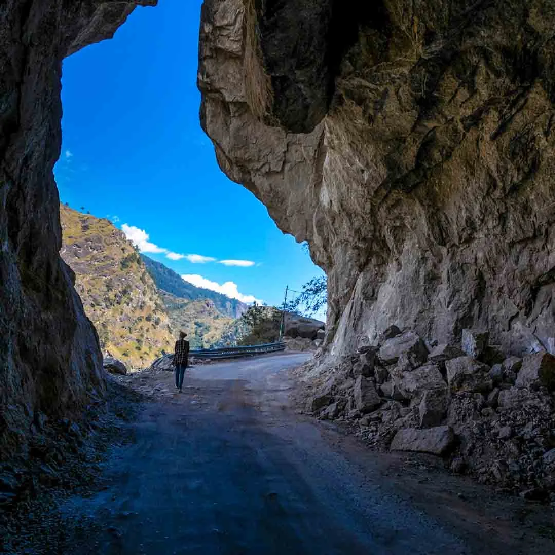
The Shimla side normally gives you a slower, gentler climb in altitude. Your body gets days to adjust as you move through Narkanda, Kalpa and Tabo before hitting the real height.
The Manali route feels shorter on the map for some travellers, but it throws you up fast, over Kunzum Pass and across rough seasonal roads that take a beating in the monsoon.
Our honest recommendation for August is to enter through Shimla and exit toward Manali only when the full circuit is confirmed open. Enter gentle, exit fast, but only if the exit is actually clear.
Be ready to turn around and return through Kinnaur if Kunzum closes on you. That is not a failure. That is smart planning.
We are not giving you exact driving times because we do not have verified 2026 numbers, and inventing them would just set you up for a bad day when the road runs slower than promised.
Suggested Nine-Day Spiti Itinerary for August
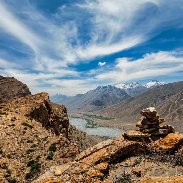
Treat this as nine planned travel days plus two flexible days. More on those spare days at the end.
Day 1: Shimla or Narkanda
Start easy. This first stage sits at a sensible altitude before you climb into the higher country.
Rest, eat well, and let the trip begin without pushing your body. There is no prize for reaching Kaza a day early.
Day 2: Sangla or Kalpa
Use this as your Kinnaur acclimatisation and sightseeing stage. The valley here is green and easy on the lungs.
Keep an eye on the road ahead toward Nako and Tabo, since this is where monsoon disruptions can start to show up.
Day 3: Nako and Tabo
Keep climbing gently into the upper valley. This slow gain is the whole point of the Shimla route.
Tabo sits roughly 48 kilometres from Kaza at about 3,050 metres. Tabo Monastery is traditionally dated to 996 CE, which makes it one of the oldest continuously running monasteries in the Himalayas.
Day 4: Tabo, Dhankar or Pin Valley, then Kaza
Keep this day loose because road delays can cut into how many stops you actually make.
If time allows, Mud village in Pin Valley sits roughly 50 kilometres from Kaza at about 3,810 metres. If the day runs late, drop it without guilt and head straight to Kaza.
Day 5: Key, Kibber and Chicham
This is the classic Kaza day circuit. Key Monastery sits roughly 12 kilometres from Kaza.
Kibber sits roughly 18 kilometres from Kaza at about 4,270 metres. Move slowly between these stops and keep drinking water. Rushing at this height just gives you a headache.
Day 6: Langza, Hikkim and Komic
Another high village loop, another day to take slow. Langza sits roughly 15 kilometres from Kaza at about 4,400 metres.
Hikkim sits roughly 16 kilometres from Kaza at about 4,400 metres, and Komic sits roughly 18 kilometres from Kaza at about 4,587 metres. All these distances are approximate and change with the route you take.
Day 7: Kaza buffer day
Build a rest day into the plan right here, in the middle of the trip.
Use it for a missed excursion, a slow morning in a Kaza café, or a weather delay. Kaza sits at roughly 3,650 metres and works as the main service hub for the whole valley, so it is a comfortable place to lose a day if you need to.
Day 8: Chandratal only when access is confirmed
Keep Chandratal conditional right up to the morning you go.
The camps usually sit away from the immediate lakeshore, with current destination information placing them roughly two to three kilometres away. You walk to the lake from there.
If Kunzum is closed, do not force it. Turn the day into a return toward Tabo, Kalpa or the Shimla side instead. A closed pass is not the end of the trip.
Day 9: Manali or Sissu exit
Only attempt the Manali exit if the route through Kunzum Pass is confirmed open that morning.
On the way, Losar sits roughly 56 kilometres from Kaza at about 4,080 metres. If you break the drive, our Sissu tour packages cover a good halfway stop on the Lahaul side.
Add two contingency days
Now the important part. Treat everything above as nine planned days plus two flexible days on top.
Those two spare days are your insurance against a landslide, a closed pass or a delayed arrival. Without them, one bad road day topples your whole plan. Our Summer Spiti circuit with Chandratal is built around this same buffer logic.
Which Places Are Best to Visit in Spiti in August?
Kaza, Key Monastery, Kibber and Chicham
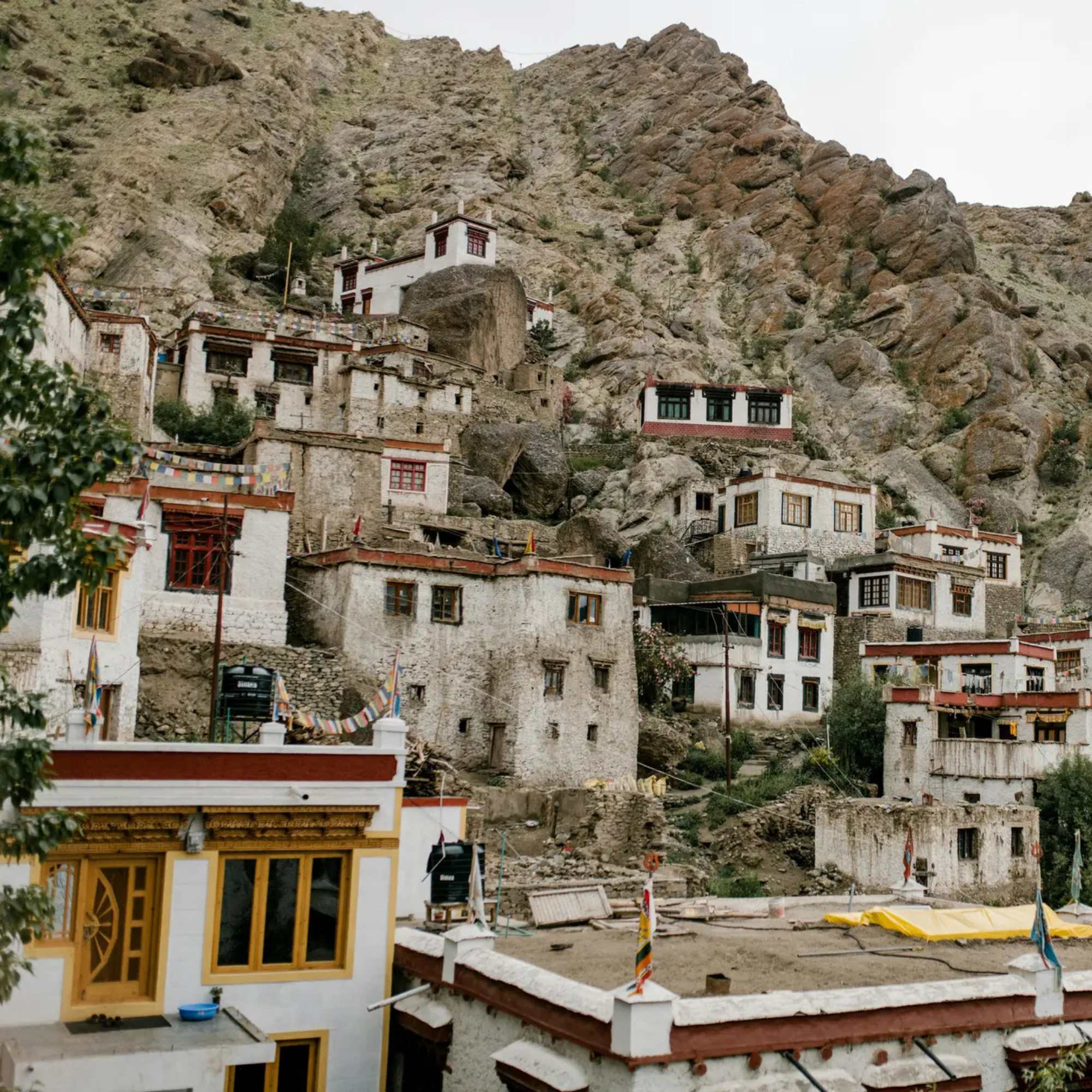
These work best as day excursions from a Kaza base, which lets you keep one warm room while you explore.
Key Monastery sits roughly 12 kilometres from Kaza, and Kibber roughly 18 kilometres from Kaza at about 4,270 metres. Short drives, big views, and you sleep in the same bed each night.
Langza, Hikkim and Komic
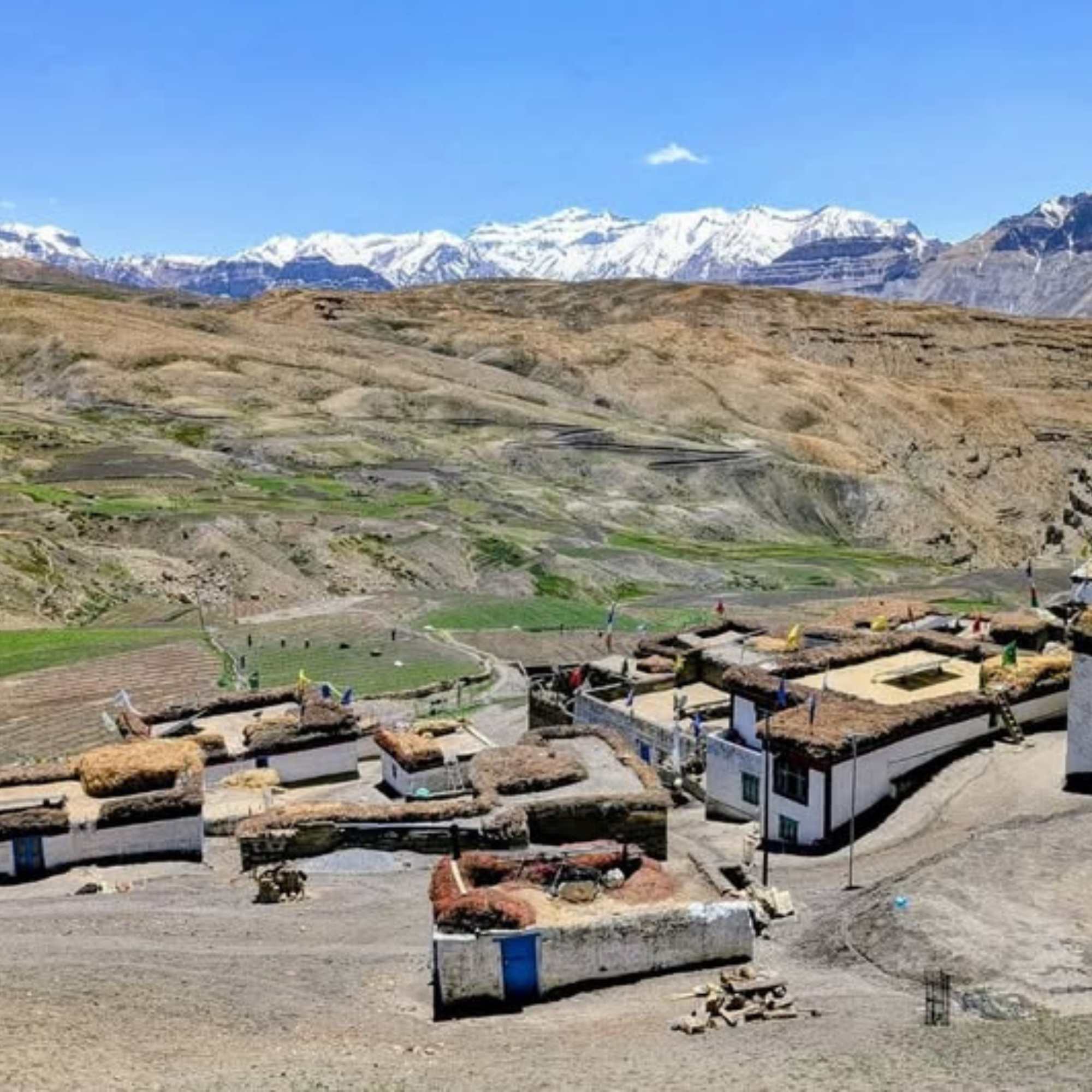
This is the high village belt, all sitting well above 4,000 metres. Langza at about 4,400 metres, Hikkim at about 4,400 metres, and Komic at about 4,587 metres.
What stays with you here is the openness. Wide brown slopes, tiny clusters of homes, prayer flags snapping in the wind, and village life carrying on the way it has for generations. Take it slow and let the altitude sit easy.
Tabo, Dhankar and Pin Valley
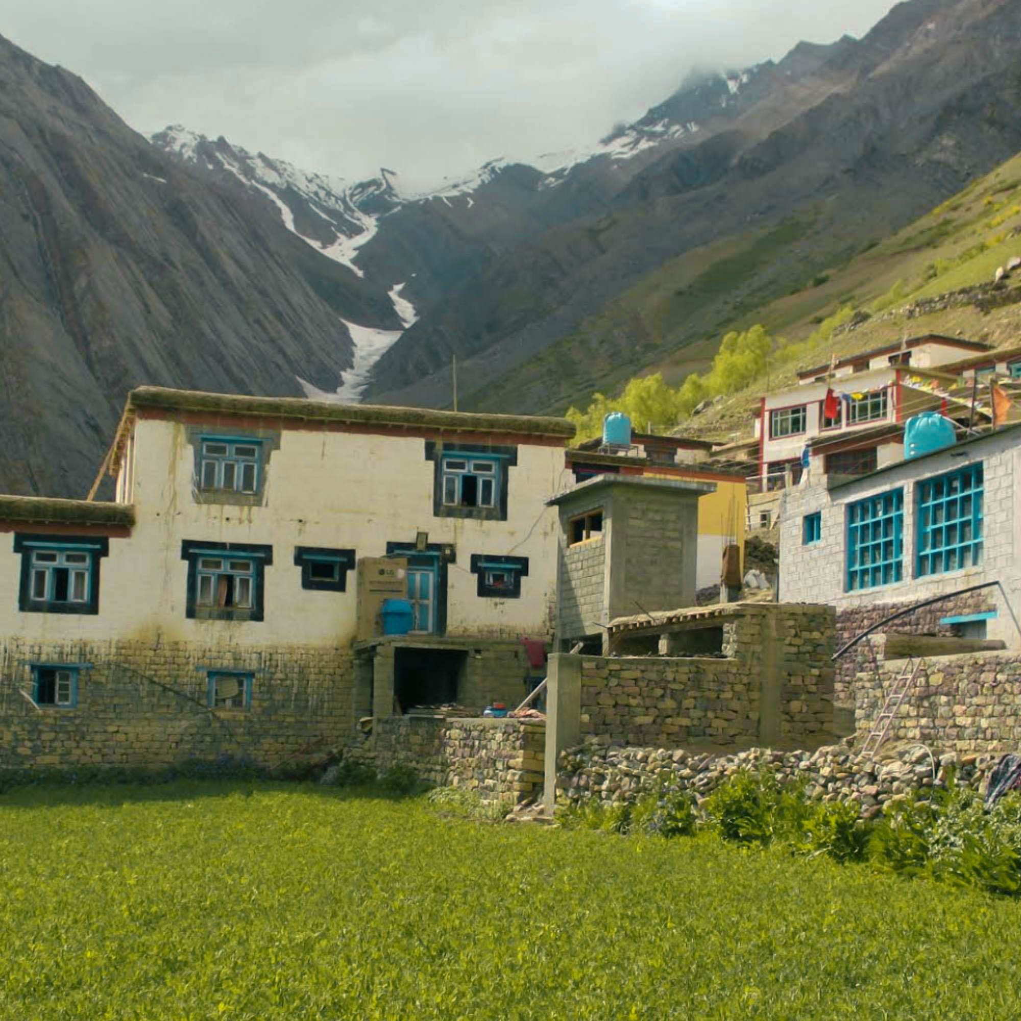
This is the slower, quieter side of Spiti, heavy on old monasteries and green pockets of village life.
Tabo Monastery dates traditionally to 996 CE, and Mud in Pin Valley sits roughly 50 kilometres from Kaza at about 3,810 metres. This is where a relaxed itinerary pays off. Rush this part and you miss the whole point of it.
Chandratal Lake
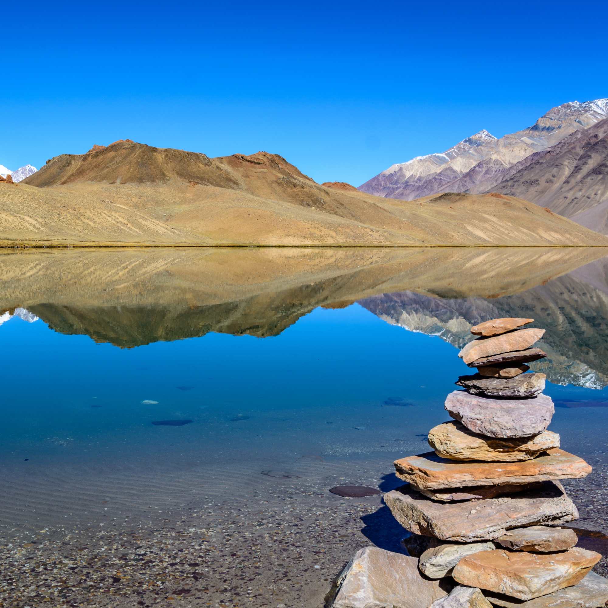
Chandratal is a high altitude excursion at roughly 4,300 metres, and it depends entirely on road and weather conditions.
We will not promise you the camps will be running, the lake will be reachable, or that you will catch a perfect sunrise. Some of the most disappointed travellers we have seen are the ones who built their whole trip around a lake they could not reach. Treat it as a bonus, not a guarantee.
Ladarcha Fair
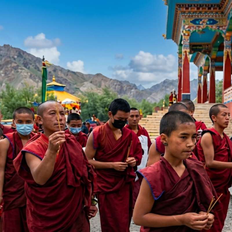
Ladarcha is tied to the summer festival period and gets promoted heavily for August travel. It is an old trade fair with real local roots, not a staged tourist show.
The exact dates for the 2026 Ladarcha Fair may be announced closer to the event, so confirm the schedule with local tourism authorities before finalising your travel dates.
How Much Does a Spiti Trip Cost in August?
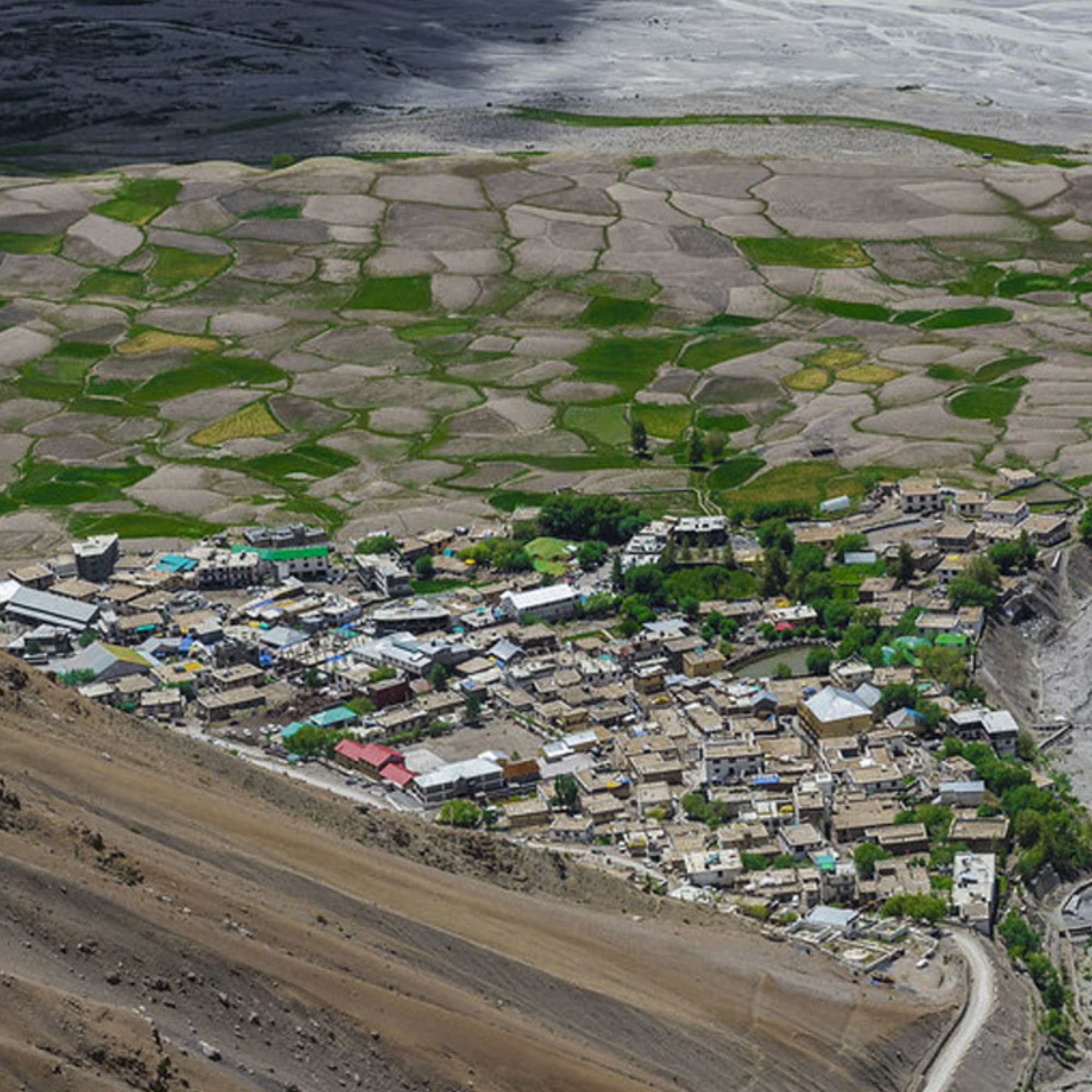
Use these as rough package benchmarks, not fixed quotes. Real cost depends on how you travel.
A seven day package is currently listed from roughly ₹14,999. A nine day summer circuit is currently listed from roughly ₹18,999.
A ten day Ladarcha group tour is currently listed at roughly ₹21,999. The wider listed package range runs roughly ₹14,999 to ₹35,000, depending on the itinerary and category you pick.
If you add a Chandratal camp night, those have been estimated at roughly ₹1,200 to ₹2,500 per person per night, often including basic bedding and meals.
Your final number moves with group size, private or shared vehicle, hotel level, meals, seasonal demand, whether Chandratal is included, and any road diversions that add distance.
In our experience, a shared vehicle with four or five people is where most travellers land for the best value.
>>Want the latest August Spiti package price? Message us on WhatsApp for an accurate quote.
Do You Need a Permit for Spiti Valley?
Permit rules for Indian citizens
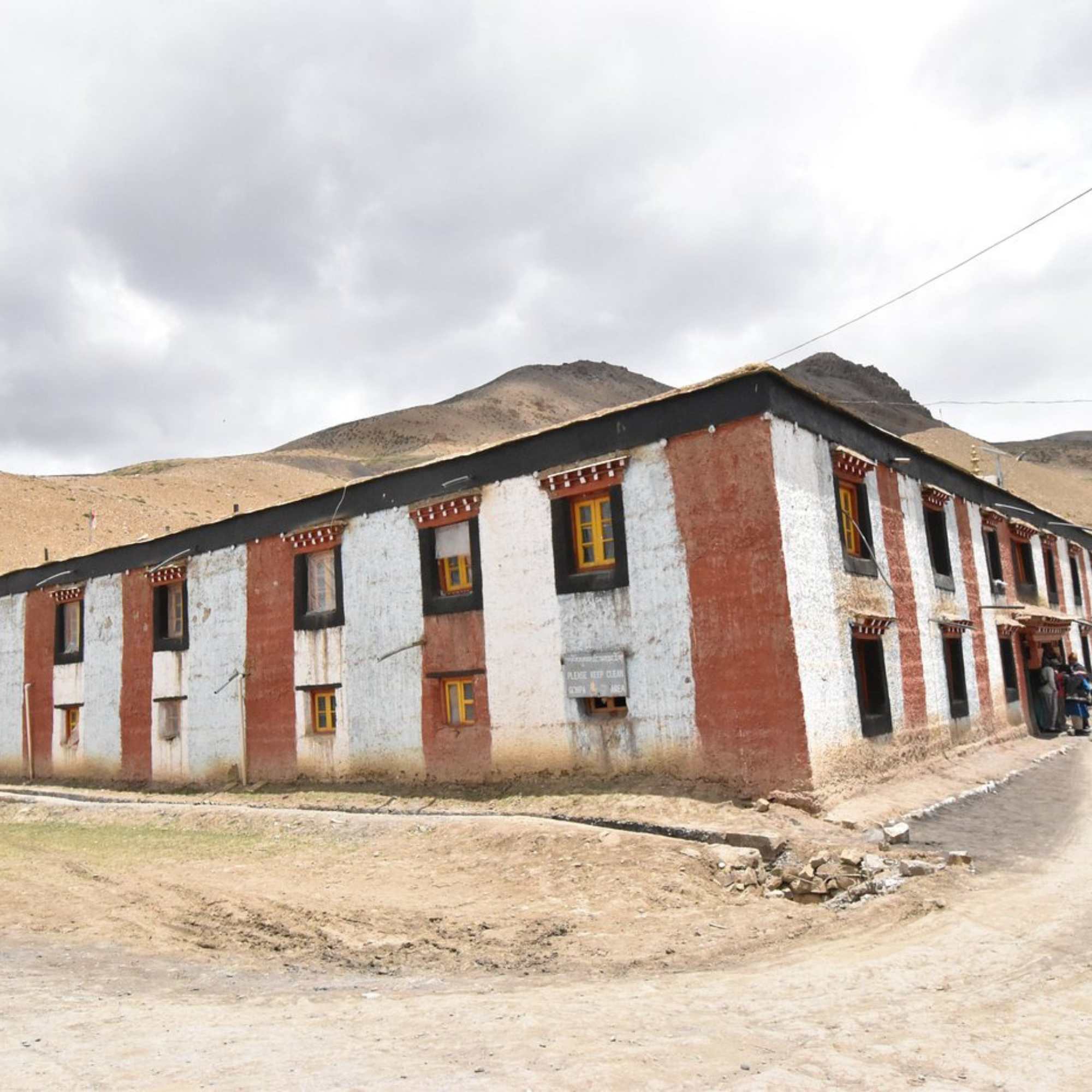
If you are an Indian citizen, you generally do not need a general tourism permit for the core Spiti circuit.
Carry a government issued ID anyway. Checkpoints in border districts can ask for identification, so keep your Aadhaar or driving licence handy. We would not tell you no checkpoint will ever ask, because in a border region that would be wrong.
Permit rules for foreign nationals
Foreign nationals may need a Protected Area Permit for notified protected border areas and routes. This does not apply to every place in Spiti, but it applies to specific notified stretches.
You apply electronically through the Indian FRRO portal or the Su-Swagatam application.
Because rules and notified areas change, confirm your exact itinerary against current requirements before you travel. Do not rely on an old blog for this.
Sanctuary and local entry charges
A June 2026 notification reported wildlife sanctuary charges of ₹300 per day for Indian citizens and ₹600 per day for foreign nationals for the first three days.
The fee applicable to Chandratal may vary depending on the latest local rules and your travel date. Confirm the current charges with the local authorities, your driver or the check post before travelling.
How Should You Manage Altitude in Spiti?
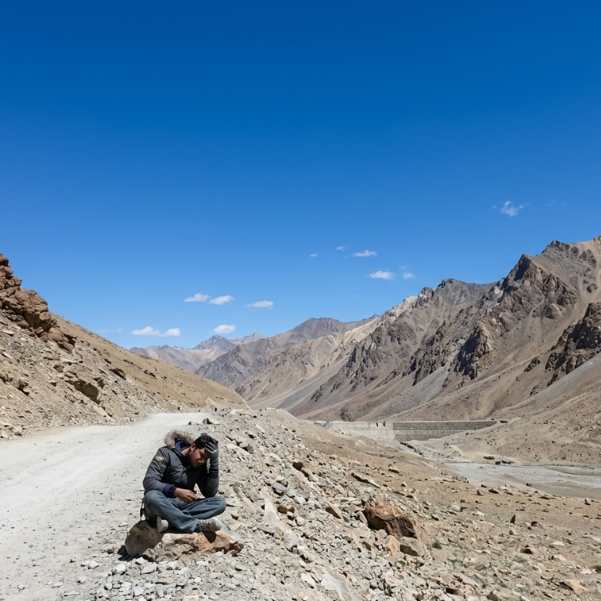
The numbers you are climbing into matter. Kaza sits at roughly 3,650 metres, Chandratal at roughly 4,300 metres, and Kunzum Pass at roughly 4,590 metres.
This is why we push the Shimla approach so often. It gives you a more gradual climb, and gradual is what keeps altitude sickness away.
The CDC guidance is worth following. Try not to go straight from low altitude to sleeping above roughly 2,750 metres in a single day where you can avoid it.
Above 3,000 metres, the CDC suggests raising your sleeping elevation by no more than roughly 500 metres per day, and adding an acclimatisation day for every 1,000 metres you gain.
We are not going to diagnose altitude illness or tell you which pill to take. If you have any heart, lung or other health condition, talk to a qualified doctor before this trip. That advice is not optional.
What Should You Pack for Spiti in August?

Pack for two climates in one trip. A waterproof outer layer, a fleece, a warm jacket, quick drying trousers, waterproof shoes, warm socks, a cap, gloves, sunglasses, sunscreen and a reusable water bottle.
Add a power bank, offline maps, your ID, cash in small notes, and any personal medicines your doctor recommends. Charging points are scarce and networks drop out, so offline maps and a charged bank matter more than you think.
Here is the part people skip
That waterproof gear is not for Kaza, which usually stays dry. It is for the approach roads, where a monsoon shower can catch you at a water crossing or a repair halt. Carry it even if the Spiti forecast looks sunny.
Is an August Spiti Bike Trip a Good Idea?
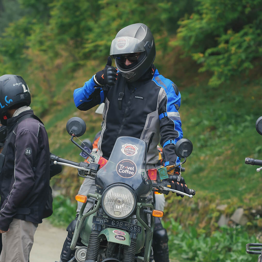
A bike trip in August is doable, but it is not the month for a first Himalayan ride.
You will face wet roads on the approach, rough surfaces, loose rocks, water crossings, cold wind and real fatigue. All of that stacks up fast on two wheels.
Come with recent mountain riding experience, a properly inspected motorcycle, full protective gear, puncture support and spare days. If this would be your first Himalayan ride, pick a drier month or do it in a vehicle first.
We are not naming bike models or rental prices here because we do not have verified numbers, and a wrong figure on a bike trip is not a small mistake.
What About Fuel, Cash, Mobile Network and Emergencies?

Kaza is your main hub for fuel, accommodation, cash and basic services. Treat it as the last reliable stop for most things.
ATM availability and mobile connectivity can be unreliable, so carry enough cash for fuel, food, permits and emergencies. BSNL generally offers wider coverage in remote parts of Spiti, but signals may still disappear on isolated routes.
Download offline maps, share your itinerary with someone and keep important emergency numbers saved before starting the journey.
Fill fuel whenever you find a dependable pump, even if your tank is only half down. Carry enough cash for the whole trip, since cards and UPI often will not work.
Save the official Kaza police contact before you lose signal: 01906-222216. We are not listing ambulance or mechanic numbers because we do not have verified ones, and a wrong emergency number is worse than none.
Is Spiti Better in August or September?
August gives you summer access, active village life and green lower slopes, but it carries more monsoon uncertainty on the approach roads.
September is often chosen for clearer, more stable conditions, though the nights turn colder and some seasonal services start winding down later in the month.
We will not promise better weather in either month, because the mountains do not read calendars.
Choose based on what you can flex.
If your dates are loose, your cold tolerance is decent, Chandratal is a top priority and you have no fixed connections, September often edges ahead. If August is when your leave falls, keep your buffer days and it works fine.
Final Verdict
August suits the flexible traveller. The one who checks conditions, accepts a changed plan without stress, and keeps two spare days in the bag.
If your trip depends on guaranteed Chandratal access, a fixed full circuit crossing, or a return flight with no wiggle room, think hard about moving it to a steadier month.
Get those two things right, flexibility and buffer days, and Spiti in August delivers exactly what people come for. Dry high desert, living villages, and a valley that feels a world away from everything.
>>Have questions about August weather, road conditions or Chandratal? Ask us on WhatsApp.
Explore Our Curated Spiti Valley Tour Packages
Want the routing, stays and buffer days handled for you? These curated Spiti circuits come with a local driver, safe Shimla-side acclimatisation, and Chandratal built in toward the end when conditions allow.
Spiti Circuits With Chandratal
Curated Spiti circuits with a local driver, safe acclimatisation, and Chandratal built in when conditions allow.
 Group Tour9D/8N
Best Selling Summer Spiti Circuit With Chandratal
1D Sangla•1D Kalpa+3
₹18,999₹19,999SAVE INR 1,000/ person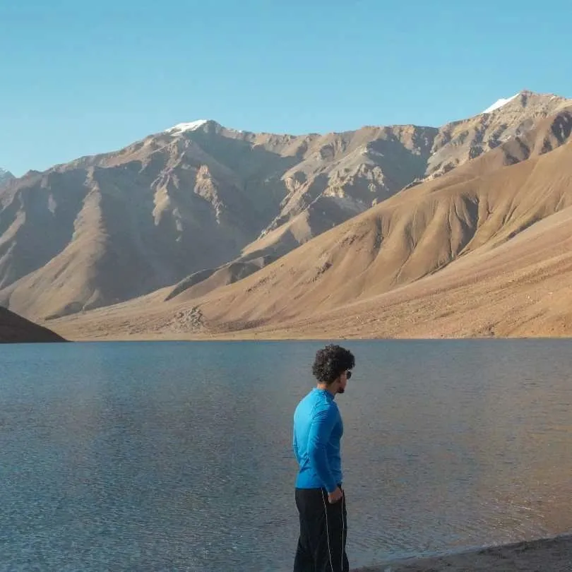 Group Tour10D/9N
Most Loved Shimla To Manali Spiti Circuit With Chandratal Lake
1D Shimla•1D Sangla+4
₹21,999₹25,999SAVE INR 4,000/ person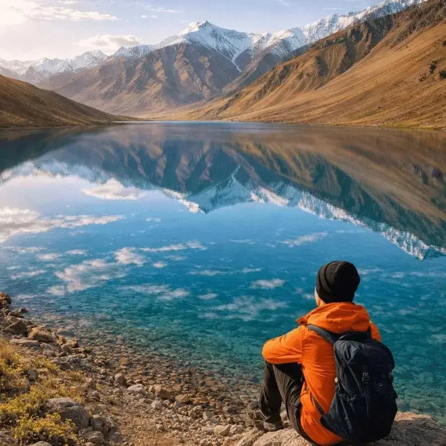 Group Tour7D/6N
Spiti Short Circuit With Chandratal Group Tour From Manali
1D Manali•2D Kaza+1
₹14,999₹16,999SAVE INR 2,000/ person
Related topics
Frequently Asked Questions
Is August a good time to visit Spiti Valley?
Yes, with flexibility. The valley sits in a rain shadow, so Kaza and the high villages usually stay dry and open, and village life is active. The catch is the approach roads through Kinnaur, Shimla side and Manali side, which can face landslides and short closures during the monsoon. Keep two buffer days and check the road status the same day you travel, and August works well.
Does Spiti Valley receive rain in August?
Spiti is a cold desert and rain shadow region, so it gets relatively little monsoon rain compared to the rest of Himachal. That said, the approach roads through Shimla, Kinnaur and Manali can get heavy rain even when Kaza is dry. A clear Kaza forecast does not prove the road behind you is safe. Carry waterproof gear for the journey even if the valley itself looks sunny.
Is the Shimla to Kaza road open in August?
Yes. Kinnaur's NH-5 is carrying traffic and this is the gentler entry for altitude gain and the better choice for sedans and first-timers. But in monsoon it is the landslide-exposed corridor, not the safe one: Maling Nala, the Negulsari zone and the Wangtu to Sumdo stretch all block after heavy rain, and there is no bypass. Check the Lahaul and Spiti district road status and IMD alerts before you leave, and confirm again with your driver or hotel on the morning you travel. Keep a buffer day.
Is the Manali to Kaza road open in August?
Yes. BRO cleared Kunzum Pass from both sides in late May 2026 and the Manali to Kaza road has carried traffic since, so it is open as of 10 August. The vehicle-class question is the only grey area: the late-May reopening specified light 4x4 and has not been formally lifted, though the advisory carrying it also still asks for snow chains in August, which is not a real condition. Treat it as stale rather than a live restriction, keep a high-clearance vehicle, and confirm with a local driver the morning you cross. The Gramphu-Batal stretch stays rough and Kullu has been among the worst-hit districts all monsoon.
Is Chandratal Lake open in August?
Yes. The 14 km Batal to Chandratal diversion cleared in June and the camps came online through mid-June, so it is open and operational as of 10 August, in the middle of the camping season. This is a change from early June, when access was genuinely uncertain. Chandratal still has one road in and out and no mobile network, so if a heavy monsoon spell is forecast, keep it to a day visit rather than adding a night. Verify access on the morning you intend to go.
Which route is safer during the monsoon?
The Shimla, Kinnaur and Kaza route usually offers a more gradual altitude gain and is often preferred as the entry route. Neither route is landslide free in August, but entering via Shimla and exiting toward Manali only when the full circuit is confirmed open is the safer plan. Be ready to return through Kinnaur if Kunzum Pass closes rather than gambling on the exit.
How many days are enough for Spiti in August?
Plan for nine travel days plus two contingency days, so about eleven in total. Nine days lets you enter gently through Shimla, acclimatise properly, cover the Kaza village circuit and attempt Chandratal if the road allows. The two spare days absorb closures, delays and missed excursions. In August especially, a tight plan with no buffer is the fastest way to a stressful trip.
How many buffer days should I keep?
Keep at least two. Buffer days absorb a temporary road closure, a missed excursion or a late arrival without collapsing your whole schedule. Just as important, never book a flight or an important train the same day you cross a high altitude pass. If that pass closes, you miss the connection. Two spare days is the single best insurance you can build into an August Spiti plan.
Do Indian travellers need a permit for Spiti?
Generally no. Indian citizens do not need a general tourism permit for the core Spiti circuit. Carry a government issued ID such as Aadhaar or a driving licence, since checkpoints in this border district can ask for identification. We would not claim no checkpoint will ever ask, because in a border region that would be misleading. Keep your ID accessible throughout the trip.
Do foreign travellers need a Protected Area Permit?
Foreign nationals may need a Protected Area Permit for notified protected border areas and routes, though not for every place in Spiti. You apply electronically through the Indian FRRO portal or the Su-Swagatam application. Because notified areas and rules change, confirm your exact itinerary against current requirements before travelling rather than relying on older information. Sort this out well before your travel dates, not at a checkpoint.
Is Spiti safe for solo female travellers in August?
Spiti is generally considered one of the calmer Himalayan regions for solo travel, and many solo female travellers do the circuit each season. The main August challenges are road unpredictability and altitude, not the destination itself. Keep buffer days, verify road status, and travel with reliable transport.
More about Lahaul and Spiti
 Lahaul and Spiti
Spiti Valley in January 2027: Who Should Book a 4x4 Trip and Who Should Wait?
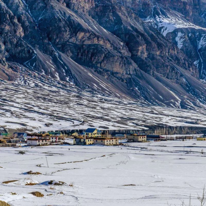
Planning a Spiti Valley trip in January 2027? Discover whether to book a 4x4 winter expedition or wait for better conditions. Explore January weather, road accessibility, safety risks, travel costs, and who should consider postponing their Winter Spiti adventure.
 Lahaul and Spiti
Winter Spiti 4x4 vs Tempo Traveller: What Does the Price Difference Buy in 2026?
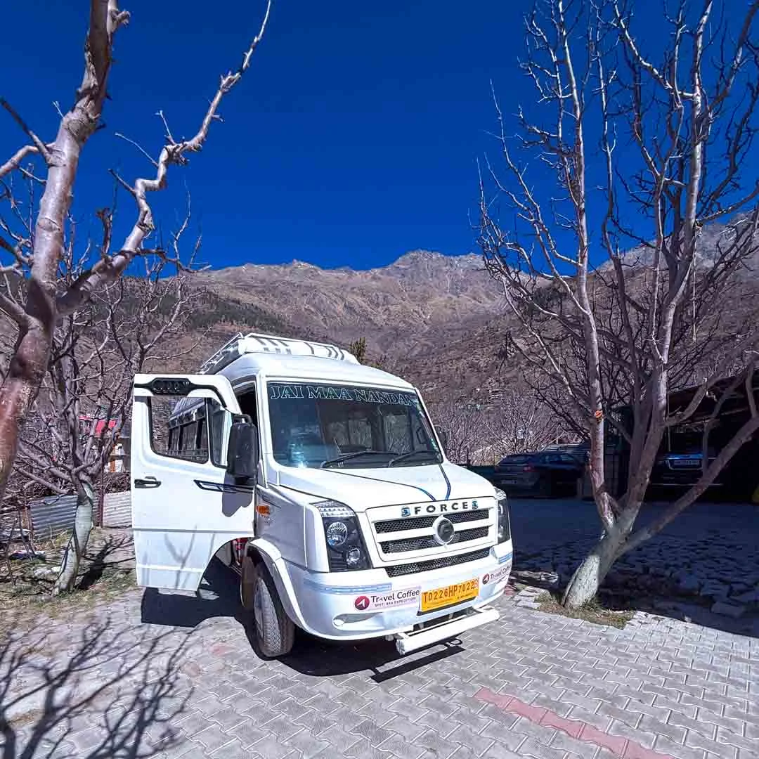
Is a Winter Spiti 4x4 trip worth the extra cost compared to a Tempo Traveller? Compare package prices, comfort, snow and ice handling, road conditions, and safety considerations to understand what you're actually paying for and which vehicle suits your Winter Spiti adventure in 2026-27.
 Lahaul and Spiti
Rent or Buy Winter Gear for Spiti in 2026? Jackets, Boots, Costs and Pickup Options
Planning a Winter Spiti trip in 2026? Compare the cost of renting vs buying jackets, snow boots, thermals and other essential winter gear, along with practical tips on what to rent, what to buy and where to arrange it before your trip.
- First-Time Travellers
- Snow Travel