
Baralacha Pass in September 2026: Weather, Road Status, Snow and Travel Guide
If you are weighing up a Baralacha Pass trip in September, the honest first question is not what to pack, it is whether you can even reach the top on your date.
September pulls travellers here for good reasons. The summer rush has thinned out, the high desert light turns sharp and clear, and you get to drive a real stretch of the Manali Leh highway without the July crowds.
But here is the part most blogs skip. Baralacha is a high seasonal pass, and whether you stand on it depends entirely on the road and weather on your exact date. It is not a year round spot you can simply show up to.
This guide by Travel Coffee covers what is officially known for 2026, why nobody can promise an open road, how to check live conditions, where to stay, which route to take, and how to handle the altitude. Where a fact still needs checking on your date, we have flagged it clearly.
Quick Answer: Is Baralacha Pass Open and Worth Visiting in September 2026?
The latest official snapshot, dated August 6, 2026, showed the Keylong to Leh road open, and Baralacha sits on that road. That confirms access on that date, not on every September date.
Early and mid September usually give you better planning odds than the final week. But fresh snow has shut this road even around September 13 in the past year, so no week is fully safe.
Check the official district road status and the ground situation from a local driver on the morning you actually travel. Never plan around a screenshot from last week.
What Is the Latest Baralacha Pass Road Status for 2026?
What has been officially confirmed so far?
BRO reopened the Manali Leh highway on May 12, 2026, finishing a snow clearance operation that ran from March 27 to May 12 and took 42 days.
BRO then opened the Darcha to Sarchu section, which crosses Baralacha, for light motor vehicles by May 14, 2026.
The official District Lahaul and Spiti road status page, updated August 6, 2026, listed Manali to Keylong open and Keylong to Leh open.
Read those as dated facts. They tell you the road was working in early August. They do not promise anything about your September date.
Why does an open highway not guarantee access?
An open highway can shut within hours. Fresh snow, ice, road damage, poor visibility, or an administration order can stop traffic without warning.
Two real examples prove the point. Fresh snow closed normal traffic at Baralacha on September 13, 2021. Fresh snow shut the highway at Baralacha again around September 25 to 26, 2022.
Those dates do not repeat on a schedule. They simply show that September snow is a real possibility here, not a rare freak event.
What should you check before leaving?
Work in two stages. Around 24 to 48 hours before you travel, check the official district road status page and the e-Aagman portal. Then check again on your departure morning, this time adding a current weather forecast and a phone call to a driver or your stay in Keylong or Jispa.
What most travellers get wrong here is trusting an old update. A road status screenshot from the previous week, or a social media post from someone who crossed days ago, tells you nothing about today.
In our experience running trips through Lahaul, the morning phone call to someone actually sitting in Keylong beats any website. They know if it snowed overnight long before the page updates.
Is Early, Mid or Late September Better for Baralacha Pass?
September 1 to 10
The first ten days normally give you the best planning odds within the month, because the serious winter risk usually builds later. Roads are more likely to stay clear and the weather tends to hold steadier.
Even so, keep one flexible day in hand. Mountain weather does not read the calendar, and an early September trip can still meet a rough morning.
September 11 to 20
Mid September often still works, but mornings get colder, the wind picks up, and the weather changes faster. You need more caution and a closer eye on the forecast.
Remember that temporary snow closure on September 13, 2021. It is proof that mid September carries real risk, even if most mid September days pass without any trouble.
September 21 to 30
Late September can be genuinely beautiful, with clear skies and hardly anyone around. It is also the most exposed part of the month to fresh snow, road ice, and sudden closure.
The September 25 to 26, 2022 closure landed right in this window. If you travel late in the month, build in at least one buffer day and keep your onward bookings flexible.
After a snow spell, nobody can promise you an exact reopening time. Plan as if a delay is normal, and treat a clean run as a bonus.
What Weather Can You Expect at Baralacha Pass in September?
We are not going to hand you a neat temperature band, because the ranges floating around on commercial pages never came from a reliable pass level weather dataset.
Because reliable pass-level weather data is limited, it is better to treat exact temperature figures as approximate rather than guaranteed.
Here is the practical reality instead. Mornings at this height can feel bitterly cold. When the sun is out and direct, it can feel surprisingly strong on your skin.
The wind at the pass makes everything feel far colder than the thermometer says. A calm sunny minute can turn into a biting gust before you get your jacket zipped.
Conditions also shift quickly. Clear sky can give way to clouds, sleet, or snow in a short time. Check a short range forecast close to your travel date, and pack for freezing feeling weather even when Manali downstairs feels pleasant.
Will You See Snow at Baralacha Pass in September?
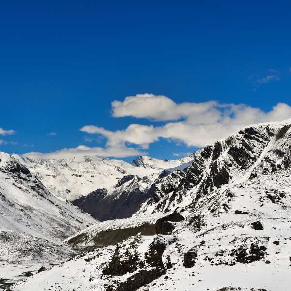
Straight answer: fresh September snow at Baralacha is possible, but nobody can guarantee it. Some Septembers bring an early spell, others stay dry for weeks.
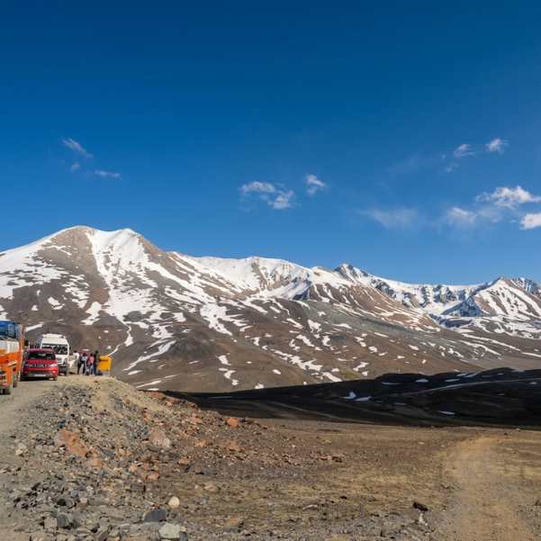
Old snow patches, and the amount of snow lying on the slopes around the pass, vary from year to year and depend on recent weather. One season you might see white ridges, another you might see bare brown rock.
We will not promise you snow walls along the road, roadside snow to play in, or fresh snowfall in any particular week. The 2021 and 2022 closures show snow is very possible in September. They do not make it certain.
How Do You Reach Baralacha Pass from Manali?
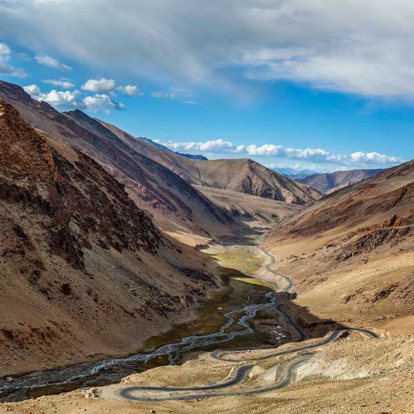
Current route through Atal Tunnel
The current drive runs from Manali up the Solang side, through the Atal Tunnel, down to Sissu, then on to Tandi, Keylong, Jispa, Darcha, Zingzing Bar, Suraj Tal, and finally Baralacha La. The tunnel cuts out the old Rohtang climb and has changed the whole rhythm of this drive.
Most travellers base themselves in Manali the night before. If you want the logistics handled by people who run this road, our Manali tour packages come with a local driver and stays picked for what lies ahead.
Sissu is usually the first proper stop in Lahaul, with its waterfall and wide open valley. Our Sissu tour packages fold it into the larger Lahaul plan if you want a night there.
Why do distance figures online disagree?
You will see wildly different numbers online, and there is a reason. Current Atal Tunnel route estimates commonly put Manali to Baralacha at around 145 to 150 km one way.
Older pages that still describe the traditional Rohtang approach often quote around 180 to 190 km or more. Those are measuring a longer, older route that the tunnel has replaced.
The exact figure depends on your starting hotel, the point the map measures from, and the route taken. Do not treat 190 km as the normal Atal Tunnel distance, because it usually is not.
How long does the drive take?
Online estimates conflict here too. Some current guides say four to six hours one way, others say six to eight hours or longer once you add stops and road delays.
We are not going to lock one number as universal, because your total travel time will vary with road conditions, traffic, weather, stops, and the pace of the drive.
What matters more than the exact hours is this. These kilometres are nothing like a plain drive. Broken patches, water crossings, altitude, and slow mountain traffic all stretch the clock, so plan for a full mountain day rather than a quick hop.
Can You Visit Baralacha Pass from Manali in One Day?
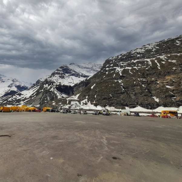
A same day return can be physically possible when the road is open, the weather is stable, and you start according to current driver advice. People do manage it.
But it is not the plan we push for first timers. You are looking at a very long mountain day, a fast gain in altitude, and almost no margin for a road check, a photo stop, a weather delay, or a vehicle problem.
Our team usually suggests an overnight stay in Keylong or Jispa instead. It turns a stressful dash into a trip you can actually enjoy, and it gives your body time to adjust to the height.
If you still want to attempt the day trip, confirm your departure and expected return timing with your local driver based on the road, weather, and traffic conditions that day.
Is a Keylong or Jispa Overnight Plan Better?
Staying in Keylong
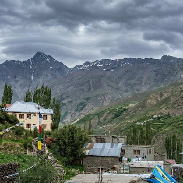
Keylong is the headquarters of Lahaul and Spiti district, sitting at about 3,156 metres. The official district page describes a regular market with accommodation and eating options.
It suits travellers who want more town facilities around them, a proper market to stock up in, and a wider choice of places to sleep and eat before heading higher.
Staying in Jispa
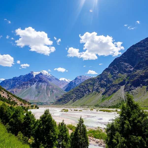
Jispa lies 22 km beyond Keylong, according to the official district page. It is farther along the Baralacha route, which shortens your run to the pass the next morning.
Jispa is a popular overnight base for exactly this reason, quieter than Keylong and closer to the high section. Jispa is generally described as sitting at around 3,200 metres, although the exact elevation can vary slightly depending on the reference point used.
Using Darcha as an acclimatisation base
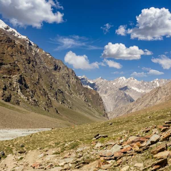
Darcha sits at about 3,500 metres, and the official district tourism page calls it an ideal base for acclimatisation. The same page notes that two acclimatisation days can help for expeditions heading toward Baralacha and beyond.
Read that as general destination guidance, not personalised medical advice for you specifically. If you are building a wider Lahaul route, our Lahaul and Spiti Valley packages can shape the stops and nights around how much time you have.
What Is the Road Like and Which Vehicle Is Suitable?
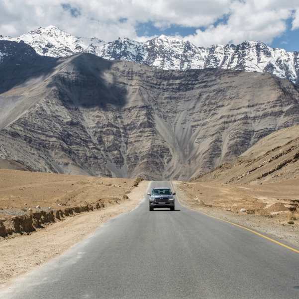
The road condition is a moving target. It changes with fresh repairs, weather, and traffic, so no single description stays true all season.
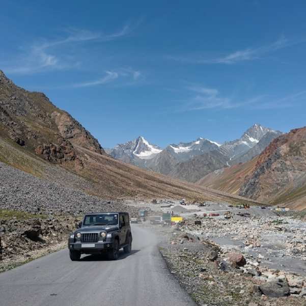
Current travel reports commonly describe broken sections, gravel, water crossings, and uneven surfaces beyond Darcha. Check the latest road condition for your travel date, as surface quality, water crossings, repairs, and difficult patches can change throughout the season.
We recommend a high ground clearance vehicle with an experienced mountain driver as the lower risk choice. That is a recommendation, not a legal rule. We are not telling you four wheel drive is mandatory by law.
Can a sedan or hatchback go?
The honest answer is conditional. A low clearance car can complete the route when the surface is favourable, but it is far more vulnerable on the rough sections and water crossings.
Get a same-day ground report before deciding, because whether a sedan or hatchback is suitable depends heavily on the road surface, water crossings, and conditions that morning.
Is the route suitable for bikes?
This one is for experienced riders. Carry proper cold and waterproof riding gear, check your tyres and brakes before you leave, and ride with company rather than alone.
Keep offline navigation ready, and do not attempt a late or night crossing of the high section. We would not call this route a good idea for a first time mountain rider.
Do You Need a Permit, E-Pass or Entry Ticket?
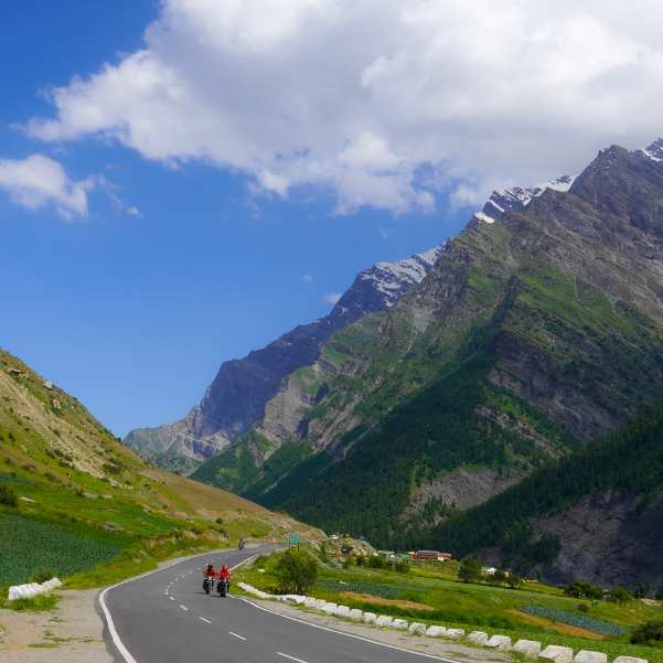
Let us keep the official wording straight, because this trips up a lot of people. The e-Aagman portal says applicants with vehicles entering Lahaul and Spiti district must apply for an E-Pass.
The portal describes an E-Permit per vehicle for its stated Atal Tunnel, Rohtang, Koksar, and Chandratal circuit, and an E-Ticket per vehicle for other places.
For a Baralacha trip specifically, check the e-Aagman portal shortly before travelling to confirm the applicable category, current fee, and any entry requirements in force on your travel date.
One more thing people mix up. The official Rohtang tourism permit is a separate system for tourism vehicles visiting Rohtang. It is not the same as e-Aagman, so do not treat the two as one.
How Serious Is the Altitude at Baralacha La?

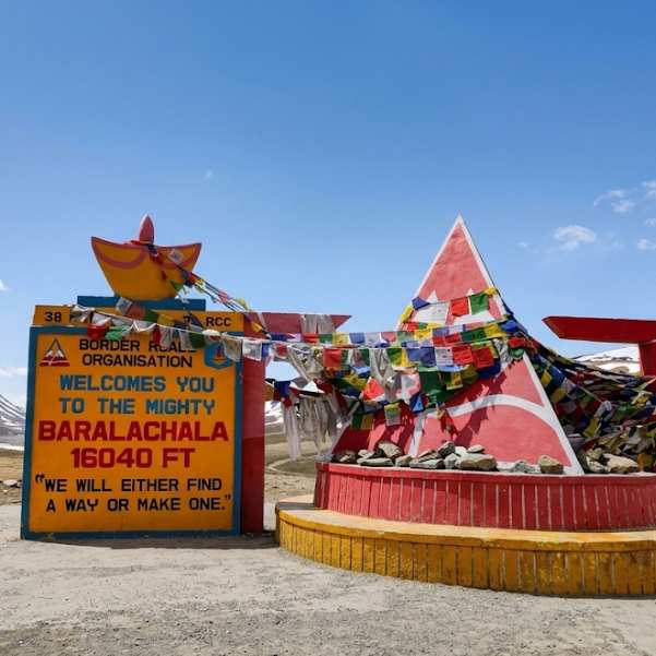
BRO authorities have reported Baralacha at 16,040 feet, which works out to roughly 4,890 metres. Some local signboards and travel pages use slightly different metre figures, so we are sticking with 16,040 feet as the main number in this guide.
This is not a casual roadside picnic stop. You are standing well above 16,000 feet, and your body will notice.
What are the early symptoms of altitude sickness?
The common early signs include headache, dizziness, unusual tiredness, loss of appetite, nausea, and sometimes vomiting. These follow standard high altitude health guidance.
Being fit does not make you immune. Strong, healthy travellers get altitude sickness too, so do not assume your gym routine will protect you up here.
What should you do if symptoms develop?
If symptoms show up, do not keep climbing to sleep at a higher altitude. That is the single most important rule on this whole trip.
If symptoms get worse despite rest or treatment at the same height, come down and get medical help. We are keeping this general on purpose and not giving you any medication or dose, because that is a doctor's call.
Is Baralacha safe for children, senior citizens or people with health conditions?
There is no blanket yes or no here. Children can be just as susceptible to altitude illness as adults, so do not assume kids handle it better.
Age alone does not decide safety either. What matters is how fast you gain height, your overall health, how you have responded to altitude before, and any symptoms on the day.
Anyone with a relevant heart, lung, low oxygen, sleep apnoea, or other medical condition should talk to a doctor familiar with high altitude travel before this trip. We cannot make that call for you, and we will not prescribe anything.
What Facilities Are Available Near Baralacha Pass?
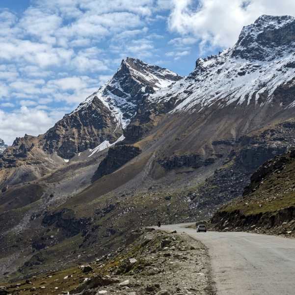
Keep your expectations low, because there is almost nothing up here. The official district tourism page says there are no shops or dhabas around Suraj Tal, near the pass.
So carry your own drinking water and food rather than counting on a seasonal stall that may or may not exist on your day. What we always tell our travellers is to pack a hot meal and a thermos in Keylong, because past Darcha there is no reliable place to eat.
There are also no regular hotels or guesthouses at the pass itself. You sleep in Keylong, Jispa, or another suitable halt along the route, then visit the pass and come back down.
Where Should You Refuel and Will Mobile Network Work?
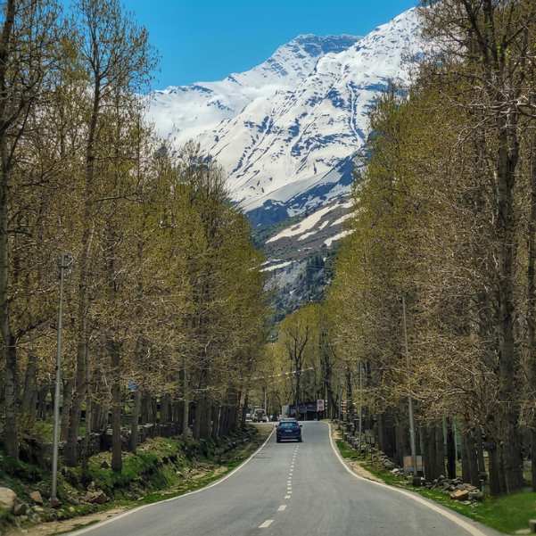
The official IndianOil locator lists a fuel station at Tandi, near Tandi Bridge. Fill up here before you climb higher, because options thin out fast beyond this point.
Do check the hours, since fuel station timings can change. Do not rely on Tandi as your only refuelling option; check the latest fuel availability around Tandi and Keylong before heading higher.
Now the network. Mobile connectivity around Baralacha is commonly weak or absent, and we will not promise you that any particular operator works up there.
Before you lose signal, save your offline maps, download your booking details, and carry cash. Share your route and expected return time with someone at home, and save the numbers you might need offline.
India's nationwide emergency number is 112. Just understand that in a signal free stretch, no emergency number reaches anyone, which is exactly why you tell someone your plan before you leave.
Can You Travel to Baralacha Pass by Bus?
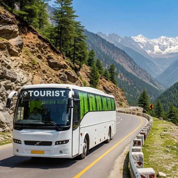
Yes, in a limited sense. The Delhi, Keylong, and Leh HRTC service resumed from May 26, 2026, and it passes Jispa, Darcha, Baralacha, Sarchu, and Tanglang La.
The reported launch fare for the full Delhi to Leh journey was ₹1,839. The launch schedule showed a Delhi departure at 12:10 pm, a Keylong arrival around 5:30 am the next day, and a Leh arrival around 7:00 pm.
Check the HRTC schedule closer to your September 2026 travel date, as seasonal operation, departure times, and fares can change.
Here is the catch. This is a through transit bus, not a Baralacha sightseeing tour. It does not wait at the pass while you wander around and take photos, it carries straight on toward Leh.
If Leh is your real destination, our Leh Ladakh tour packages can plan the wider trip properly around the bus or a private vehicle.
How Much Does a Baralacha Pass Trip Cost?
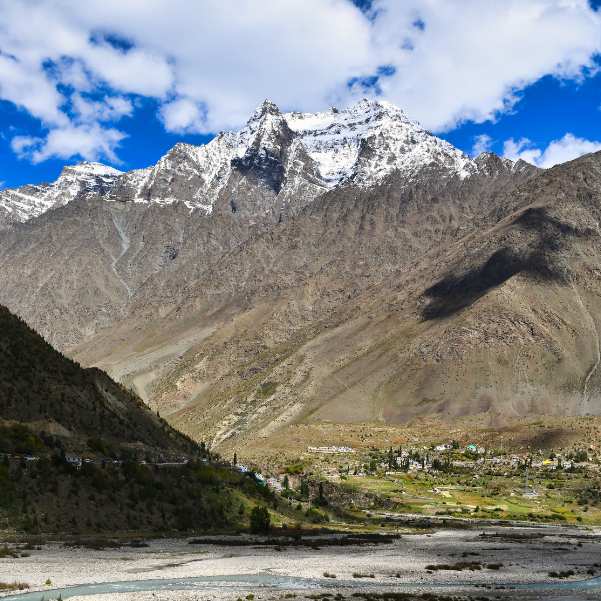
We are not going to print a fixed private taxi range, because current commercial listings genuinely conflict with each other and any number we quote could be wrong for your trip.
What actually sets your cost is a handful of things. Whether you do one day or an overnight, your starting hotel, the vehicle category, driver allowance, a Keylong or Jispa stay, meals, any e-Aagman payment that applies, route changes, and cancellation terms all move the final figure.
Here is the money tip
Ask for a written live quote that spells out exactly what it covers, so a driver night allowance or a stay charge does not appear as a surprise later.
What Can You See on the Way to Baralacha Pass?
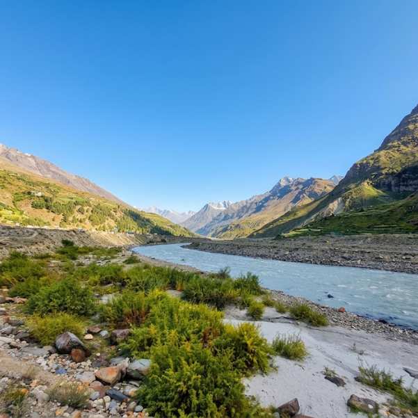
The drive itself is the reward, so do not rush past everything just to reach the pass. Sissu greets you first in Lahaul with its waterfall and open valley, then comes the river confluence near Tandi.
After that you roll through Keylong, then Jispa, then Darcha, each a little higher and a little more remote than the last. Further up sit Deepak Tal and Zingzing Bar, small names that mark how far into the high country you have come.
Near the top lies Suraj Tal, which sits just below 16,000 feet and is the source of the Bhaga River. Remember, the district page says there are no shops or dhabas around Suraj Tal, so this is a look and move on stop, not a place to find lunch.
One honest warning
If the road authorities or the weather demand continuous movement, you may not get to stop at every landmark. On a pass like this, photography sometimes loses to keeping the traffic flowing safely.
What Is a Sensible Three Day Baralacha Itinerary?
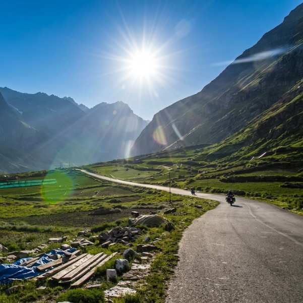
Day 1: Manali to Keylong or Jispa
Start out from Manali through the Atal Tunnel and take your time at Sissu. Fill the tank at the Tandi fuel station before you push on toward your overnight base.
Aim to reach Keylong or Jispa with daylight to spare and settle in early. We are not printing fixed arrival times, because your run depends on the road and traffic on the day.
Day 2: Keylong or Jispa to Suraj Tal and Baralacha
Check the road status before you leave, and check again before the higher section if police or local drivers give you an update. This is the day that morning phone call earns its keep.
Visit Suraj Tal, then cross or visit Baralacha only when the road is open and conditions are stable. Keep the summit stop short and head back to your lower base if you are not carrying on to Leh.
We are not putting a minute count on your time at the pass, because the weather decides that, not the clock.
Day 3: Return to Manali or continue toward Leh
Your third day depends entirely on the road, the weather, your health, and your wider plan. Some travellers loop back to Manali, others push on to Leh.
Do not assume Kaza or Chandratal connects automatically from here. The official August 6, 2026 road page listed Keylong to Kaza closed, so check the current Keylong to Kaza or Gramphu to Kaza status before you dream up a Spiti add on.
Chandratal access is a separate seasonal question with its own timing. We break it down in our Chandratal opening and seasonal road guide if you are thinking about combining the two.
What Should You Pack for Baralacha Pass in September?
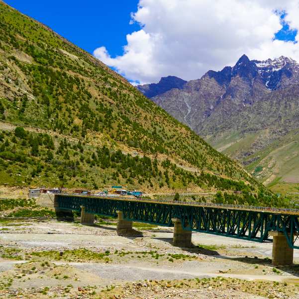
Layers win here. Start with thermal base layers, add a warm middle layer like a fleece, and top it with an insulated jacket. Over all of that, keep windproof or waterproof outer protection ready for when the pass turns nasty.
Cover the details people forget. Warm gloves, a cap that covers your ears, sunglasses for the strong high altitude sun, sunscreen, and sturdy footwear you can walk on rough ground in all matter up here.
On the practical side, carry enough drinking water and food, any medicine your doctor prescribes, and a small first aid kit. Round it out with a power bank, cash, offline maps, your vehicle documents, and your emergency details written down.
We will not tell you that everyone must carry supplemental oxygen. That is not a blanket requirement, and your own health and your doctor's advice should guide any such decision.
When Should You Turn Back?
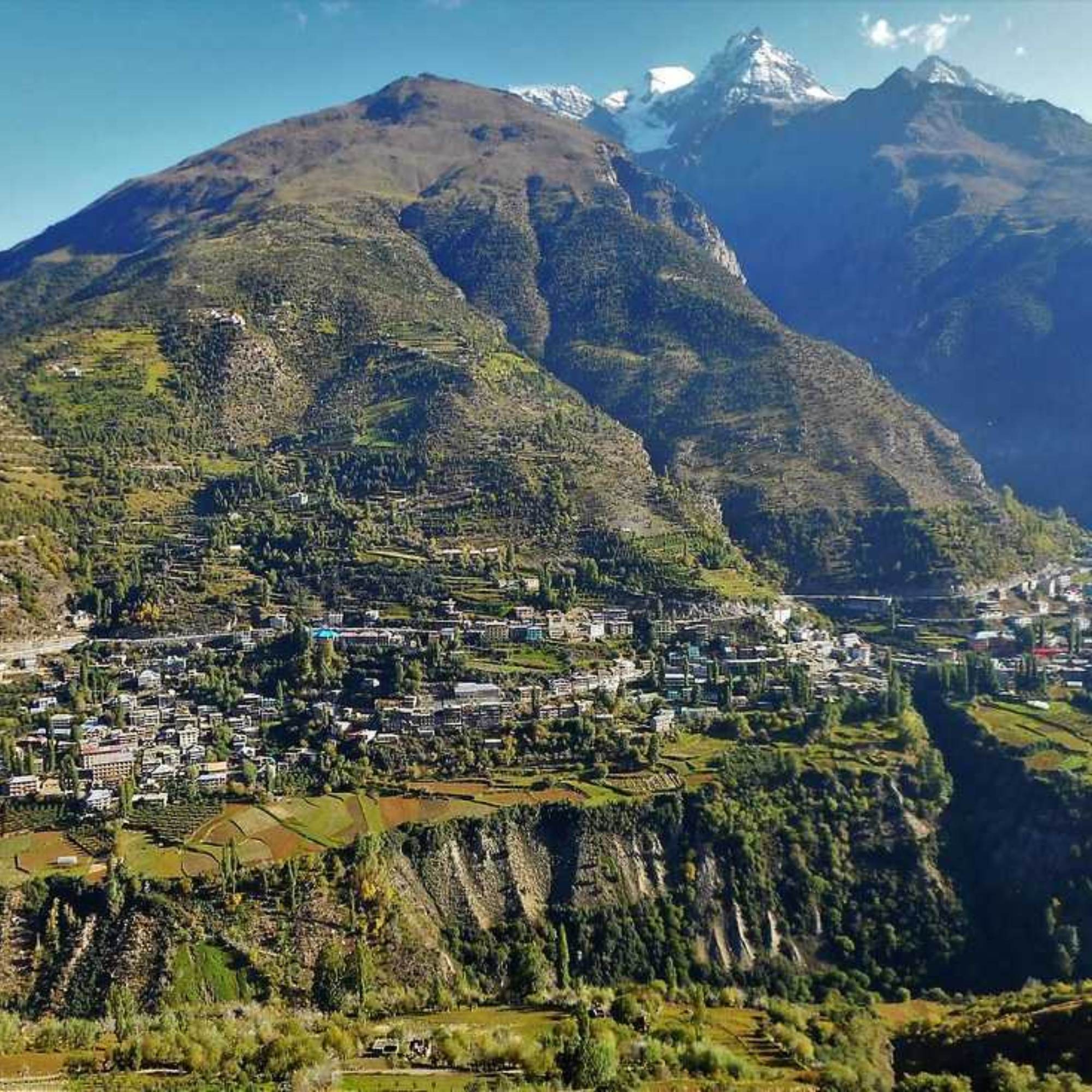
Knowing when to quit is the most useful skill on a pass like this. Turn back if the official road is closed, if authorities stop traffic, or if a fresh snow warning comes through.
Turn back too if visibility drops, if your driver advises against going on, if the vehicle develops a problem, if you are simply running too late, or if anyone in the group shows altitude symptoms.
We say this calmly because it matters. The summit photo is never worth ignoring a warning. The pass will still be there next season, and getting your people home safe beats any picture.
Final Verdict: Is Baralacha Pass Worth Visiting in September?
For the right traveller, yes. A September trip to Baralacha can be genuinely rewarding if you have warm clothing, a suitable vehicle, an overnight plan, and one flexible day built into your schedule.
Early and mid September normally give you better planning odds than the last stretch of the month. But let us be clear one more time. Nobody can guarantee your date, this is a high seasonal pass, and the mountain has the final say.
Do the same day road status check without fail, every single time. If you want a hand shaping a realistic plan around live conditions, WhatsApp us and we will help you build it right.
Explore Our Curated Manali Tour Packages
 6D/5N
6D/5NManali Solang Sissu Sethan Snow Adventure
1D Delhi•3D Manali+2
₹15,999₹21,999SAVE INR 6,000/ person 6D/5N
6D/5NManali Solang Sissu Sethan Snow Trip With Kasol
1D Delhi•3D Manali+2
₹25,999₹33,999SAVE INR 8,000/ person 7D/6N
7D/6NManali Kasol Jibhi Valley Trip
1D Delhi•2D Manali+3
₹25,799₹32,999SAVE INR 7,200/ person
Related topics
Frequently Asked Questions
Is Baralacha Pass open in September 2026?
The official page dated August 6, 2026 showed the Keylong to Leh road open, and Baralacha sits on it. That is dated background, not a promise for your date, so run a live road status check for the actual day you plan to travel.
Which part of September is best for Baralacha Pass?
Early and mid September generally give better planning odds, since serious winter risk usually builds later in the month. That is a tendency, not a guarantee, so keep a flexible day either way.
Is snow guaranteed at Baralacha Pass in September?
No. Fresh snow is possible but not certain, and old snow on the slopes varies from year to year depending on recent weather.
What is the temperature at Baralacha Pass in September?
We are not giving you an exact temperature band because conditions at Baralacha Pass can vary sharply with weather, wind, cloud cover, and time of day. Expect cold, windy conditions that can change fast, and pack for freezing feeling weather even when Manali feels mild.
Is late September safe for Baralacha Pass?
It can be, but it is conditional. Late September is more exposed to fresh snow and closure, so your safety depends on the weather, live road status, your driver, your vehicle, and having buffer days in hand.
Can I visit Baralacha Pass from Manali in one day?
It may be possible when the road is open and the weather is stable, but it makes for a long, rushed day with little margin for delays. We usually suggest an overnight in Keylong or Jispa instead.
How far is Baralacha Pass from Manali via Atal Tunnel?
Current Atal Tunnel estimates commonly put it at around 145 to 150 km one way, although the exact distance will vary slightly depending on your starting point in Manali. Older pages using the Rohtang route quote longer distances, often around 180 to 190 km.
Do I need an e-Aagman pass or permit?
The e-Aagman portal says vehicles entering Lahaul and Spiti must apply for an E-Pass, with an E-Permit for its stated circuit and an E-Ticket for other places. Check the e-Aagman portal before travelling to confirm the correct Baralacha category, applicable fee, and current entry requirements.
Can a sedan reach Baralacha Pass?
It depends on the daily road condition and your car's ground clearance. A low clearance sedan can make it when the surface is good, but a high clearance vehicle is the lower risk choice.
Is Baralacha Pass safe for children and senior citizens?
There is no blanket answer. Children can be as susceptible as adults, so what really matters is a slow ascent, close symptom monitoring, and a doctor's advice for anyone with relevant medical conditions.
Should I stay in Keylong or Jispa?
Keylong has more town facilities and a bigger market, while Jispa lies farther along the route and closer to the pass. Choose based on your comfort and what is available on your dates.
Is fuel and mobile network available near Baralacha Pass?
The official IndianOil locator lists a fuel station at Tandi, but it is sensible to check current operating hours and fuel availability before heading higher. Mobile signals around the pass are commonly weak or absent, so carry cash and save offline maps before you lose the network.
More about Manali
 Manali
Medical Help in Manali for Tourists 2026: Hospitals, Pharmacies and Emergency Steps
Need medical help while travelling in Manali? This guide covers hospitals, pharmacies, emergency contacts and practical steps tourists should take during illness or injury. It also explains what to do in urgent situations, including breathing problems at higher altitudes.
- First-Time Travellers
- Altitude & Health
 Manali
Vegetarian and Jain Food in Manali 2026: Where to Eat Without Guesswork
Looking for reliable vegetarian and Jain food in Manali? This guide covers pure veg restaurants, Jain-friendly places, no onion no garlic options, and practical tips on what to confirm before ordering in 2026.
- Things to Do
- Places to Visit
 Manali
Mobile Network, Internet, UPI and ATMs in Manali 2026: What Works Where
Planning a Manali trip in 2026? Know which mobile networks work, where internet may be weak, whether UPI is reliable, and where to find ATMs. This guide helps you stay connected and payment-ready during your Manali trip.
- First-Time Travellers