
Baralacha Pass (Baralacha La) 2026: Height, Route, Road Status and Complete Guide
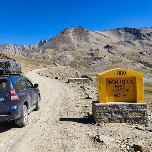
You searched for Baralacha Pass 2026 because you want three things settled: how high it actually is, whether the road is open, and how to reach it from Manali without messing up your plan.
Let us give you honest answers, because most guides online copy old numbers and confuse people.
Quick Answer
Baralacha La is a high mountain pass on the Manali Leh highway, in Lahaul and Spiti, Himachal Pradesh.
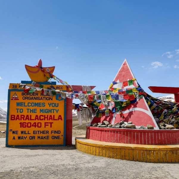
Its height is reported differently across reliable sources. Wikipedia lists 4,850 metres, while many travel guides quote around 4,890 metres or 16,040 feet.
So the honest way to say it is: Baralacha La is about 4,850 to 4,890 metres, commonly quoted as 16,040 feet. We are not going to pretend there is one perfect surveyed number.
The modern Manali route runs through Atal Tunnel, Sissu, Keylong, Jispa, Darcha, Zingzing Bar and Suraj Tal.
The latest official Lahaul and Spiti road status page we could check was updated 20 August 2026 and showed the Keylong to Leh road open. Road status changes fast up here, so check it again right before you travel.
What Is Baralacha La and Where Is It Located?
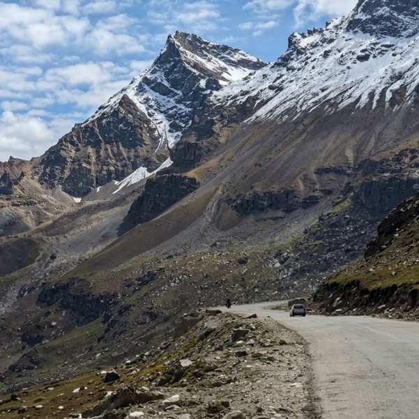
Baralacha La sits on the Manali Leh highway and connects the Lahaul side of Himachal Pradesh with Ladakh. When you cross it, you are moving from the Bhaga valley system toward the Sarchu plains and onward to Leh.
For centuries this pass worked as a natural crossroads. Old trade and travel routes from Lahaul, Spiti, Zanskar and Ladakh all met around this high ground, because Baralacha was one of the few practical ways to link these regions across the mountains.
Just below the pass lies Suraj Tal, a high glacial lake. The Bhaga River rises from here, and follows you back down much of the road toward Keylong.
In our experience, first-time travellers remember Suraj Tal more than the pass sign itself, because the lake sitting under raw mountains is the real picture they came for.
If you are thinking of Baralacha as part of a bigger Lahaul plan, our Lahaul and Spiti Valley tour packages build it into a proper route rather than a rushed one-day dash.
What Is the Height of Baralacha Pass?
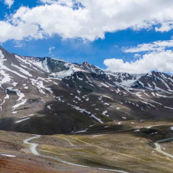
Why do some sources say 4,850 m and others 4,890 m?
This is the confusion that sends people searching, so let us settle it plainly instead of picking a number and hiding the rest.
Wikipedia lists the elevation as 4,850 m. Many current travel guides use approximately 4,890 m and 16,040 ft. Both numbers are floating around the internet, and neither should be treated as a precise survey elevation.
The cleanest way to hold it in your head: Baralacha La is about 4,850 to 4,890 metres high, with 16,040 feet being the most commonly quoted travel figure.
What most tourists get wrong is treating this as a factual error on someone's part. It is not. Different sources round and estimate differently for a remote high pass.
What matters for your body is simple. You are going well above 4,800 metres, and that is high enough to take altitude seriously no matter which figure you trust.
Is Baralacha Pass Open in 2026?
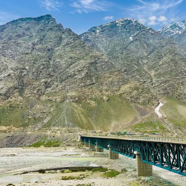
Here is the thing people miss. There are three different stages to "open," and they do not happen on the same day.
First, BRO finishes cutting through the snow. Second, the road officially reopens to traffic. Third, and this is the one that matters for you, the road becomes comfortable enough for an ordinary tourist vehicle to move without drama.
For 2026, the timeline played out like this. BRO restored the Manali Leh highway on 12 May 2026 after a 42 day snow clearance operation. The Darcha to Sarchu stretch through Baralacha La reopened to light motor vehicles on 15 May 2026.
The official Lahaul and Spiti road status page was last updated 20 August 2026 and listed Manali to Keylong Open and Keylong to Leh Open.
That is the latest official update we have for this article. It is not a promise about your exact travel day. A single spell of bad weather or a landslide can change things within hours up here, so treat these dates as the season pattern, not a guarantee.
What Is the Best Route from Manali to Baralacha Pass?

Manali to Baralacha via Atal Tunnel
The modern route is faster and simpler than the one older blogs describe. You drive from Manali, cross the Atal Tunnel, and come out near Sissu on the Lahaul side.
From there you continue through Tandi, then Keylong, then Jispa, then Darcha, climbing steadily toward Zingzing Bar, then Suraj Tal, and finally Baralacha La.
The Atal Tunnel is what changed everything. It cut out the long, slow Rohtang climb and made the Lahaul side reachable in a fraction of the old time.
Our team's honest tip: do not linger too long taking photos near Sissu on the way up. Save your energy and daylight for the higher section, where the road and altitude both demand more from you.
If you want your Manali base sorted first, look at our Manali tour packages, and if you would rather stay on the quieter Lahaul side, our Sissu tour packages put you closer to the action.
What about travelling via Rohtang Pass?
You will see older guides quote roughly 190 km for Manali to Baralacha. That number describes the traditional Rohtang Pass route, not today's shorter Atal Tunnel routing. So do not use 190 km to plan your modern trip. It will throw off your fuel and time expectations.
Rohtang still has its own charm and its own rules if you go that way. For a feel of what that older crossing is like early in the season, read our take on Rohtang Pass in May.
How Far Is Baralacha Pass from Manali, Keylong and Jispa?
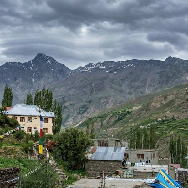
Modern sources commonly quote approximately 145 to 150 km from Manali via the Atal Tunnel.
The exact figure shifts depending on where you drop your map pin and where you start counting, so treat 145 to 150 km as a planning approximation, not a fixed odometer reading.
From Keylong, the pass is roughly 73 to 75 km, which makes Keylong a sensible base if you want to break the climb.
From Jispa, Baralacha Pass is roughly 52 to 53 km away, though the exact distance can vary slightly depending on the route point used by your map.
Baralacha Pass to Sarchu is approximately 30 km, so it is best treated as a practical route estimate rather than an exact odometer distance.
We are not going to hand you precise driving times. Mountain-road times vary too much between current sources and change with every rough patch or traffic control, so any single number would mislead you more than help.
What Is the Best Time to Visit Baralacha La?
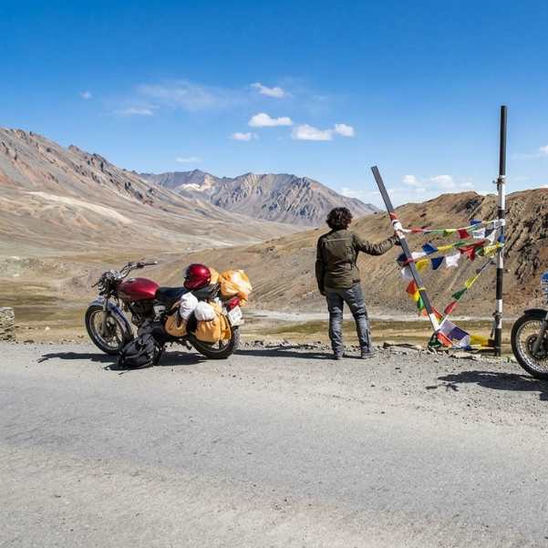
June to September
June to September is the most dependable general window. The exact opening and closing dates move every year with snowfall, BRO clearance and weather, so nobody can promise you a fixed calendar.
June
Early June is an early-season experience. More winter snow may still be lying around, which looks dramatic, but the road can also be rougher and less predictable in places.
July and August
July and August normally fall inside the settled open season. Even so, road disruptions still happen, especially with rain and meltwater on the lower approaches, so do not assume smooth sailing.
September
September can be a lovely stretch when the road stays open, with cleaner air and fewer people. The trade-off is colder weather and the rising chance of fresh snow closing things early.
What we tell our travellers is simple: pick your month for the experience you want, but always keep a buffer day so a single bad-weather day does not wreck the whole plan.
What Are the Road Conditions Like at Baralacha Pass?
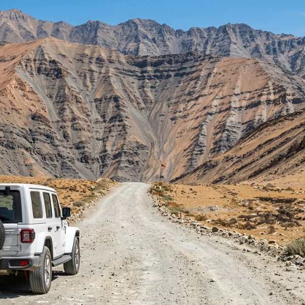
Open is not the same as smooth. This is the single most useful thing to understand before you go.
Even on an officially open road, you can hit freshly cleared snow sections, loose and gravelly surfaces, meltwater running across the track, patches of temporary roadwork, and short traffic controls while machines are working.
None of that means the road is closed. It just means you drive slowly and plan for delay.
A May 2026 traveller reported that water crossings became stronger later in the day as snowmelt increased. Treat that as one person's experience, not an official rule, but it matches a real pattern up here.
The insider tip that follows from it
Start early. Cross the meltwater sections in the morning when flows are lower, not in the afternoon when the sun has been working on the snow for hours.
Before you leave, check the official Lahaul and Spiti road status page and, ideally, a recent report from someone who drove it in the last day or two.
Do You Need a Permit for Baralacha Pass in 2026?
Competitor articles love to say "no permit is required." That is too simple and can get you stuck.
The e-Aagman portal states that anyone bringing a vehicle into Lahaul and Spiti must apply for an E-Pass.
It specifies an E-Permit per vehicle for the Atal Tunnel, Rohtang, Koksar and Chandratal circuit, and an E-Ticket per vehicle for other places. So there is a registration system involved, even if it is not a dramatic border permit.
We are not going to claim a separate Baralacha Pass entry fee, because no verified standalone Baralacha fee has been supplied to us.
What you should do is check the exact e-Aagman request category for your Baralacha itinerary on the portal right before you apply, since the categories and rules can be updated.
If you end up using the old Rohtang route instead, be aware that separate Rohtang regulations may apply, and you should check those too.
Where Should You Stay and Acclimatize Before Baralacha?
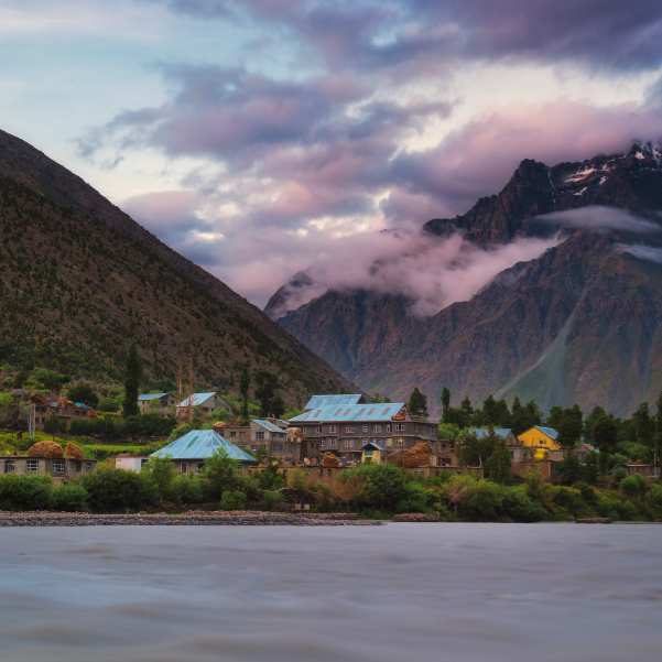
Keylong, Jispa and Darcha are your logical staging points. Each one lets you sleep at altitude before pushing higher, which is exactly what your body needs.
The official district page places Darcha at about 3,500 metres and calls it an ideal acclimatization base. It notes that two days of acclimatization there can be useful for expeditions heading toward Baralacha and beyond.
There is solid medical backing for going slow. The CDC Yellow Book 2026 recommends gradual ascent and says spending 2 to 3 nights around 2,450 to 2,750 metres before going higher can help protect against acute mountain sickness.
That is general guidance, not a personal medical plan for you, so use it as a principle rather than a prescription.
In our experience, the travellers who struggle most are the ones who try to gain all their altitude in one heroic day. The ones who sleep a night in Lahaul first almost always enjoy Baralacha more.
What Can You See Around Baralacha La?
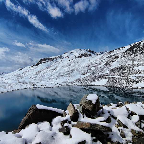
Suraj Tal
Suraj Tal lies just below Baralacha La, and for many people it is the highlight of the whole drive. The Bhaga River rises from this lake, which is a nice thing to know as you follow that same river back down later.
One honest warning from the official district page: there are no shops or dhabas around Suraj Tal. Carry your own water and snacks. Do not plan to buy anything here, because there is nothing to buy.
Deepak Tal
Deepak Tal is another scenic stop on the broader route, a small lake worth pausing at for a few minutes. We are not going to publish an exact altitude or distance for it, because those numbers are not verified in our research.
Sissu, Jispa and the wider Lahaul route
Baralacha works far better as part of a Lahaul or Manali Leh journey than as a single isolated snow stop. When you string together Sissu, Jispa, Darcha and the climb to the pass, the whole day makes sense and your body has time to adjust.
If you are also weighing up Chandratal, read our Chandratal opening 2026 guide first.
One thing to be clear about: Chandratal is not sitting right beside Baralacha, and it is not a quick easy diversion off the same road. They are separate plans that people often wrongly bundle together.
What Facilities, Fuel and Mobile Network Should You Expect?
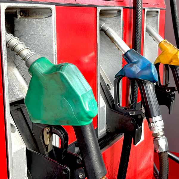
Do not depend on food, fuel, medical help or reliable mobile data at the pass. This is a remote high-altitude stretch, and treating it like a normal highway is how people get caught out.
Current route guides consistently point to Tandi and Keylong as the important reliable fuel points before the long remote section begins. Fill your tank there.
We are not going to give you a precise "last pump for X kilometres" line, but the principle is firm: refuel in the Tandi to Keylong area and go in with a full tank.
Carry offline maps, because live data will drop out. Bring your own food and water, keep warm layers within reach, and assume your phone will be useless for long stretches. We are not going to list coverage by operator, because that is not verified for this route.
Is Baralacha La Safe? What About Altitude Sickness?
The lake and the pass are safe places. The real risks are altitude, weather and road condition, not the destination itself. Handle altitude properly and you remove most of the danger.
Unacclimatized travellers can be at risk of altitude illness at sleeping elevations around 2,450 m or above. Baralacha is far higher than that, which is exactly why acclimatizing in Lahaul first matters so much.
Watch for common AMS symptoms: headache, nausea, tiredness and loss of appetite. And do not assume you are safe just because you are fit.
Physical fitness does not guarantee protection from altitude illness. We have seen strong, gym-regular travellers struggle while quieter, slower ones felt fine.
The rule that keeps you safe is blunt: if altitude-illness symptoms get worse while you are resting, descend rather than climb higher. Going down is the treatment.
On preventive medicine, we will not prescribe anything here. If you want to consider it, talk to an appropriate clinician before your trip.
This is a sensitive health topic, so if you or someone in your group has an existing heart, lung or other medical conditions, get proper medical advice before planning a high-altitude trip.
Can You Visit Baralacha Pass by Bike or Self Drive Car?
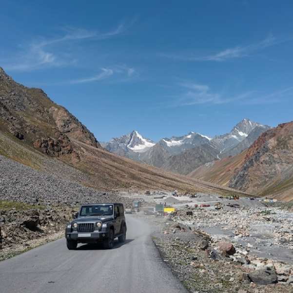
There is no permanent yes-or-no answer that covers every sedan, hatchback, 4x2 or bike. Anyone who tells you otherwise is guessing.
Suitability depends on the same-day road condition, your vehicle's ground clearance, the weather, and how experienced the driver is.
On a good day the road can be manageable for a fairly ordinary vehicle. After fresh snow or heavy meltwater, the same road can be a real problem.
A May 2026 traveller reported reaching Baralacha in a Hyundai Venue 4x2. Take that as one anecdote, not a green light. It does not guarantee that another 4x2 will handle the road on a different date with different conditions.
The only reliable move is to check the road condition immediately before you leave, and be willing to turn back if it looks wrong.
Can Baralacha Pass Be Done as a Day Trip from Manali?
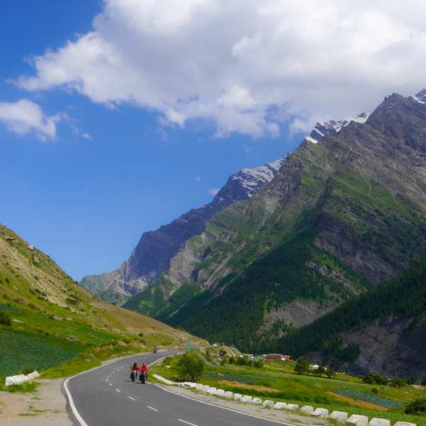
Yes, a day trip from Manali can be possible when the roads are open. But for a first-time traveller, a staged two-day plan is usually far more comfortable.
We will not quote a fixed 10, 12 or 14 hour duration, because source timings vary too much to trust. What we can say is that doing it in one shot means one extremely long driving day with a fast altitude gain, which is exactly the combination that makes people feel unwell.
A night in Lahaul fixes both problems. It breaks that punishing single day into two manageable ones, and it gives your body time at altitude before you reach the pass.
What we tell our travellers is that the two-day version is not just safer, it is genuinely more enjoyable, because you are not exhausted when you finally reach Suraj Tal.
Suggested 2 Day Baralacha La Itinerary
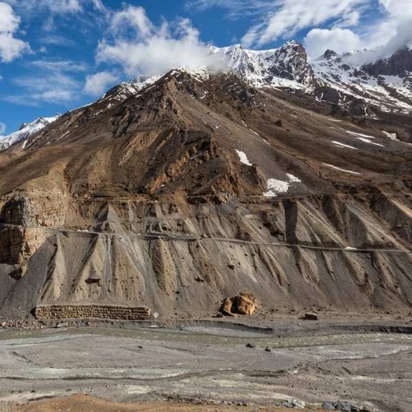
Day 1: Manali to Keylong or Jispa
Drive out of Manali at a relaxed pace, cross the Atal Tunnel, and come out near Sissu. Stop for a bit, stretch, and enjoy the change in landscape as you move onto the Lahaul side.
Continue toward Keylong or Jispa for the night. Refuel around Tandi or Keylong while you have a reliable pump. Keep the afternoon easy. Do not cram in extra sightseeing. The point of Day 1 is to gain altitude gently and rest well, not to tire yourself out.
Day 2: Jispa or Keylong to Suraj Tal and Baralacha La
Start early and drive via Darcha and Zingzing Bar, climbing steadily toward the high ground. Stop briefly at Suraj Tal, then at Baralacha La itself for your photos and a proper look around.
From here you have a choice. You can turn back toward Lahaul and end the trip well-rested, or you can continue toward Sarchu and Ladakh, but only when your itinerary, your acclimatization and the live road conditions all support it.
Do not push toward Leh on a whim if any of those three are shaky.
If Ladakh is where this trip is really heading, our Leh Ladakh tour packages plan the full route with proper acclimatization built in.
Related topics
Frequently Asked Questions
What is the exact height of Baralacha Pass?
There is no single agreed figure. It is about 4,850 to 4,890 metres, commonly quoted as 16,040 feet. Wikipedia lists 4,850 m while many travel guides use around 4,890 m.
Why do some websites say 4,850 m and others 4,890 m?
Different sources round and estimate differently for this remote pass. Neither number is a precise survey elevation, so treat it as a range rather than one exact height.
Is Baralacha Pass open in 2026?
The official Lahaul and Spiti road status page, updated 20 August 2026, showed Keylong to Leh open. Road status changes fast, so check again just before you travel.
When did Baralacha La open in 2026?
BRO restored the Manali Leh highway on 12 May 2026 after a 42 day snow clearance. The Darcha to Sarchu stretch through Baralacha reopened to light vehicles on 15 May 2026.
What is the distance from Manali to Baralacha Pass?
Modern sources commonly quote around 145 to 150 km via the Atal Tunnel. The exact figure depends on your map pin and starting point, so use it as an approximation.
What is the best route from Manali to Baralacha La?
Manali, then Atal Tunnel, Sissu, Tandi, Keylong, Jispa, Darcha, Zingzing Bar, Suraj Tal, and finally Baralacha La. This modern routing is shorter than the old Rohtang road.
Do I need a permit or e-Aagman registration for Baralacha?
The e-Aagman portal requires vehicle registration to enter Lahaul and Spiti, with an E-Pass system. Check the exact request category for your Baralacha itinerary on the portal before you apply.
Which month is best for Baralacha Pass?
June to September is the dependable window. July and August are usually the most settled, while September is quieter but colder with a rising chance of early snow.
Can I see snow at Baralacha in June or July?
Often yes, especially in early June when more winter snow lingers. But we will not promise snow on any particular date, since it depends on the year and the weather.
Is Baralacha La safe for a first-time mountain traveller?
Yes, with the right approach. Acclimatize in Lahaul first, start early, watch for AMS symptoms, and descend if you feel worse while resting. The altitude is the main risk, not the place.
Can a normal 4x2 car or bike reach Baralacha Pass?
Sometimes, depending on that day's road and weather. One traveller reached it in a Hyundai Venue 4x2 in May 2026, but that does not guarantee another 4x2 will manage on a different date. Check conditions first.
Where should I stay before visiting Baralacha La?
Keylong, Jispa or Darcha are the sensible bases. The district page calls Darcha, at about 3,500 metres, an ideal acclimatization stop, and suggests two days there before heading higher.
More about Baralacha Pass
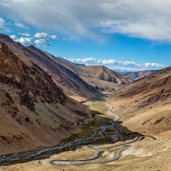 Baralacha Pass
Best Time to Visit Baralacha Pass in 2026: Month-by-Month Snow and Road Guide
Discover the best time to visit Baralacha Pass in 2026 with this month by month guide. Learn when the road usually opens, when to expect snow, how weather changes through the season and which months are best for your trip.
- Best Time to Visit
- Road Status
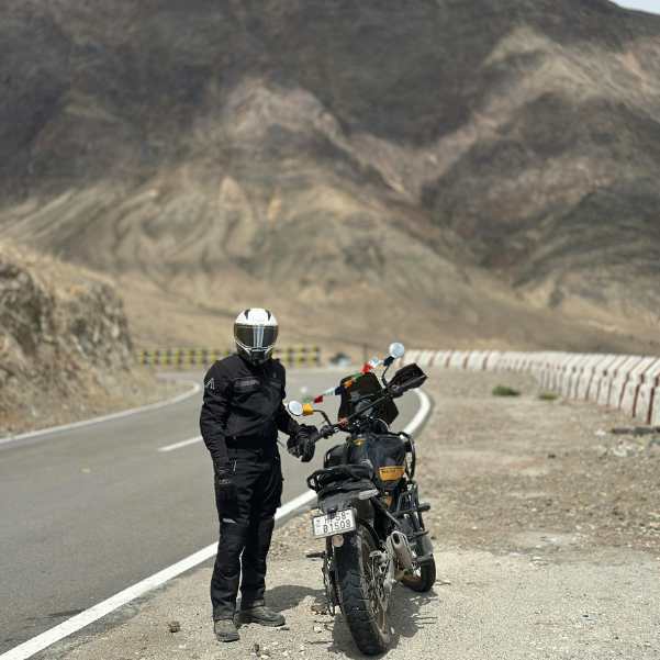 Baralacha Pass
Baralacha Pass Bike Trip 2026: Route, Days and What to Prepare For
Plan your Baralacha Pass Bike Trip 2026 with details on the best route, ideal number of days, road conditions, essential bike checks, packing tips, permits, and preparation for a safe Himalayan ride.
- Bike Trips
- Itinerary
 Baralacha Pass
Baralacha Pass in December 2026: Road Status, Weather and Safer Alternatives
Planning to visit Baralacha Pass in December 2026? Check expected road closures, heavy snowfall conditions, accessibility on the Manali–Leh Highway, and essential winter travel tips before planning your journey.
- Road Status
- Snow Travel