
Hatu Peak
The highest point in Shimla district at roughly 3,400 metres, 7 km from Narkanda, where a forest trek or a narrow mountain drive ends at a centuries old temple and a 360 degree view of the Himalayan ranges
- Peak & Temple
- ~3,400 m
- Narkanda · 7 km
- Best Apr to Oct
- Shimla District, Himachal Pradesh
What makes it special
Hatu Peak is one of those places where the views easily exceed expectations. You stand at the top, roughly 3,400 metres up, and the mountains are not in the distance. They are at eye level, stretching in a wide arc, with the Srikhand Range and Kinnaur Kailash peaks to the northeast, and the snow peaks bordering Uttarakhand visible to the southeast. Below you, apple orchards, terraced fields, and the villages of Kumarsain, Kotgarh, and Nirmand sit between dense forests. On clear mornings, you can see layers of ranges going back so far they turn blue and then fade into sky.
The peak sits about 7 km from Narkanda on a narrow road that winds through deodar, fir, spruce, and blue pine forest so thick that sunlight only hits the road in patches. You can drive to the top or walk up through the forest, which takes about 2 to 3 hours at an easy pace. The one thing travellers consistently underestimate is the road. It is narrow, steep in places, and has switchbacks where the gradient makes your car engine protest. It is not dangerous if you have an experienced driver, but it is not a smooth ride either. If you are unsure, hire a local taxi from Narkanda market. They charge around Rs 800 for the round trip with an hour's waiting at the top.
At the summit, a small clearing opens up and the Hatu Mata temple sits surrounded by tall cedars. The temple is built in traditional Himachali Kathkuni style, with wooden carvings and a low stone boundary. Local belief holds that the temple is dedicated to Mandodari (Ravana's wife from the Ramayana) and also to Goddess Kali. On the first Sunday of Jyeshtha, pilgrims come in large numbers for rituals. Next to the temple is a rock formation that locals call the Bhima Chulha, a stove shaped structure believed to have been used by the Pandavas during their exile. Whether or not you are drawn to the mythology, the temple has the quiet of a place where people have prayed for centuries without turning it into a show.
The peak has some military history too. The Gorkhas captured it in the early 19th century for its commanding views and established a fort at the top. The British later pushed them out. The strategic importance is obvious the moment you stand up there. You can see in every direction, for what feels like a hundred kilometres.
Most people treat Hatu Peak as a half day trip from Narkanda. That is the right call. Go early, before 8 AM if you can. The views are sharpest in the morning light, when the snow peaks catch the first sun. By early afternoon, clouds often build from the west and roll over the summit. If you are trekking, the walk down is faster, about 1.5 to 2 hours, and the forest on the descent feels different in the afternoon light. Worth lingering if you have the time.
Quick answers
- Is Hatu Peak worth visiting?
- Yes. The 360 degree panorama from the summit is the finest in Shimla district. On a clear morning, snow peaks line the horizon from Kinnaur in the northeast through to the Uttarakhand border in the southeast, with deep valleys and apple orchards spread below. You can drive all the way up or trek 7 km through dense deodar forest. The Hatu Mata temple at the summit is centuries old and has a quiet energy. Half a day from Narkanda, no permits, no entry fee. It is the single best thing to do if you are in the Narkanda area.
- How much time do I need for Hatu Peak?
- 3 to 4 hours if you drive up, see the views, visit the temple, and drive back. Half a day if you trek one way and drive the other. A full day if you trek both ways and add the Jor Bagh meadow.
- Do I need to trek to reach Hatu Peak?
- No. You can drive to the summit on a narrow 7 km road from Narkanda. Hire a local taxi from the market for about Rs 800 round trip with waiting time. The road is steep and the switchbacks are tight, but an experienced driver handles it fine. Trekking is optional, not required.
Quick facts
Everything you need to know at a glance.
At a glance
- Altitude
- Roughly 3,400 m / 11,150 ft (some GPS readings record closer to 3,200 m)
- Location
- 7 km from Narkanda, Shimla district, Himachal Pradesh. Highest peak in the district.
- Nearest town
- Narkanda, 7 km (30 to 40 min drive)
- Open season
- Year round for trekking. Road may be snow blocked in deep winter (Dec to Feb). Temple generally closed 3 to 4 months in winter.
- Time needed
- Half day from Narkanda (drive up and down). Full day if trekking.
- Entry fee
- None
- Effort level
- Easy by car. Easy to moderate trek (7 km uphill, 2 to 3 hours). No technical skills needed.
On the ground
- Facilities at the top
- None. No food, water, washroom, or shelter. Carry everything from Narkanda.
- Mobile network
- Weak to none at the summit. Works in Narkanda town. Download offline maps.
- Parking
- Small clearing at the top with space for a few vehicles. Gets tight on weekends.
- Where to stay
- Stay in Narkanda. HPTDC Hotel Hatu and private hotels. Camping possible at Jor Bagh meadow near the peak.
- Local taxi
- About Rs 800 round trip from Narkanda market with 1 hour waiting time.
Seasonal weather
- Apr to Jun15°5°Summer (Apr to Jun)
- Jul to Sep12°6°Monsoon (Jul to Sep)
- Oct to Nov10°-2°Autumn (Oct to Nov)
- Dec to Mar3°-10°Winter (Dec to Mar)
Suitable for
- Couples — suitable
- Families — with some care
- Seniors — suitable
- Solo — suitable
- First-timers — suitable
- Pet-friendly — with some care
How to reach Hatu Peak
1 approach route, with seasonal access.
From Narkanda
Generally April to October by car. Road may be snow blocked December to February. Trek possible year round with proper gear.- Distance
- 7 km
- Time
- 30 to 40 minutes by car, 2 to 3 hours trekking
- Road
- Narrow, steep mountain road through forest. Switchbacks with sharp gradients. Motorable but demanding.
The standard and only practical route. From Narkanda market, take the road heading east toward Thanedar. Less than a kilometre along, a signposted turnoff branches south toward Hatu Temple. The road winds uphill through dense deodar and fir forest, with steep gradients and tight switchbacks. An experienced mountain driver in a good vehicle handles it comfortably. First timers on hill roads should hire a local taxi from Narkanda market. The last stretch opens up as the forest thins and the views begin. Parking at the top is a small clearing that gets tight on weekends. Go early to avoid both crowds and afternoon clouds.
Best time to visit
Season by season, so you can plan around the weather rather than hope.
- Recommended
Summer
April to June
Clear views, green forest, comfortable trekking. The easiest and best window.
- Temperature at summit
- Roughly 5 to 15°C. Wind makes it feel colder.
- Views
- Clear mornings, clouds build by afternoon
- Trek difficulty
- Easy. Trail dry and well marked.
- Road access
- Open and clear
The best window for most visitors. The forest is green, wildflowers line the trail, and the summit views are sharp in morning light. Daytime temperatures at the top range from 10 to 15°C, dropping lower with wind chill. The road is clear and the trek is at its most pleasant. Long weekends can bring visitors from Shimla and Chandigarh, but the summit rarely feels crowded. April is best for clear skies. May and June are warmer at the base but still cold at the top.
Monsoon
July to September
Lush green forest, but clouds eat the views. Start very early or accept fog.
- Temperature at summit
- Roughly 6 to 12°C
- Views
- Often clouded by late morning. Best early dawn.
- Trek difficulty
- Moderate. Muddy trail, leeches in lower sections.
- Road access
- Passable but slippery after rain
The forest is at its greenest and the meadows near the summit are lush. But the peak is often clouded by late morning, cutting views short. Rain makes the trek muddy and the road slippery. Leeches appear on the lower forest trail. July and August are the worst months for visibility. September improves. If you go, start very early and accept that views are not guaranteed.
- Recommended
Autumn
October to November
The clearest skies of the year. Crisp air, sharp peaks, thin crowds.
- Temperature at summit
- Roughly minus 2 to 10°C
- Views
- Clearest of the year. Best for photography.
- Trek difficulty
- Easy. Trail dry. Pack warm layers.
- Road access
- Good. Early snow possible late November.
October is quietly the best month for the summit. The monsoon is over, the sky is the clearest it gets all year, and the air has a sharp, cold bite that makes the snow peaks stand out like they have been drawn with a fine pen. The forest starts changing colour. Crowds are thin. November gets cold fast, and by late November, early snow is possible on the upper trail. This is when photographers get their best shots.
Winter
December to March
Snow, silence, and views that hit differently. Only if you are properly prepared.
- Temperature at summit
- Roughly minus 10 to 3°C
- Snow
- Regular. Road often blocked. Trek hard.
- Temple
- Generally closed 3 to 4 months in deep winter.
- Access
- Trek only. Carry proper snow gear. Do not go alone.
Snow covers the peak and the forest. The summit views on a clear winter morning, with white peaks against a deep blue sky, are extraordinary. But access is difficult. The road is often blocked by snow from December through February. The trek is significantly harder with snow on the trail, and proper snow gear is essential. The temple is generally closed for 3 to 4 months. If you are experienced with winter conditions and prepared for cold that drops to minus 10°C or below, this can be a powerful experience. If you are not, come in another season.
Things to see & do
5 things worth your time at Hatu Peak.
Take in the 360 degree views from the summit
30 to 60 minutesThis is the whole reason to come. Stand at the summit clearing and let your eyes follow the mountain line around you. To the northeast, the high peaks of the Srikhand and Kinnaur ranges catch the early sun. Below and around you, the valleys of Rohru and Theog drop away, with the orchards of Kumarsain and Kotgarh scattered across the slopes. To the southeast, the snow line continues toward the Uttarakhand border. On a perfectly clear morning the layers of ranges go deep enough that you stop counting. The best time is between 7 and 10 AM, when the light is angled and the peaks are sharp. Bring a warm jacket even in May. The wind at the top is cold and constant.
Visit the Hatu Mata Temple
20 to 30 minutesThe temple at the summit is small and quiet, built in the Kathkuni style with interlocking wood and stone. Local beliefs tie it to Mandodari and to Goddess Kali. The carved wooden panels are old and detailed, with motifs that mix mainstream Hindu iconography with local Himachali folk traditions. Next to the temple is the Bhima Chulha, a natural rock formation shaped like a stove, believed by locals to have been used by the Pandavas during their exile. Remove your shoes before entering. There is no formal shoe counter, so keep them where you can see them. The temple is generally closed for 3 to 4 months in deep winter when snow reaches several feet.
Trek from Narkanda through the deodar forest
4 to 6 hours round tripThe 7 km trek from Narkanda is one of the best short treks near Shimla. The trail follows the road initially, then cuts through switchbacks via forest shortcuts. You walk through deodar, fir, spruce, and blue pine, with the canopy thick enough that the temperature drops noticeably inside the forest. The trail is not technical and any reasonably fit person, including children aged 7 and up, can manage it. Start early. Carry 2 litres of water, snacks, a warm layer, and a raincoat in monsoon season. The descent takes about 1.5 to 2 hours. The trek is open year round, but in deep winter (December to February) the path can be snow covered and significantly harder.
Drive the narrow mountain road to the summit
30 to 40 minutes one wayIf trekking is not your plan, the road to the top is an experience in itself. It is narrow, with steep gradients and tight switchbacks. At some points, the incline is enough to make your engine strain audibly. An experienced driver in a good condition vehicle handles it fine. If you are new to driving steep mountain switchbacks, taking a local taxi is a much safer option. Hire one from Narkanda market for about Rs 800 round trip with waiting time. The drive itself passes through dense forest, and on the upper stretches, the trees thin out and the views start opening up before you reach the clearing at the top.
Walk to Jor Bagh meadow
1 to 1.5 hours from the templeAbout a kilometre past the temple, through a stretch of oak forest, you reach Jor Bagh (also called Jau Bagh), a grassy alpine meadow that works well for a picnic or, if you have the gear, overnight camping. The meadow is quiet, flat, and sheltered by the surrounding forest. In summer, the grass is green and the breeze is cold and clean. In winter, it is snow covered. Camping is possible here in summer months (May to October), but avoid monsoon (July and August) and carry your own gear. There is no facility. Just forest, grass, and sky.
Know before you visit Hatu Peak
The practical bits, from people who have been.
What I would tell a friend before they goGo early for clear views, carry food and water, do not underestimate the road, layer up for wind.
Go early. Start from Narkanda before 8 AM. Morning light is when the Himalayan ranges are sharpest and the air is clearest. By early afternoon, clouds often build from the west and sit on the summit. If you are trekking, start by 6 or 7 AM to get the best light and avoid afternoon fog.
Carry everything you need. There is no food, water, or facility at the top. Bring at least 2 litres of water, snacks, sunscreen, a warm jacket (even in summer, the wind at 3,400 metres is cold), and a rain layer in monsoon months. Trekkers should carry proper shoes with grip, not casual sneakers.
The road is genuine. Do not underestimate the drive. The road is narrow, steep, and has tight switchbacks. It is manageable for an experienced mountain driver in a good car, but first timers on hill roads should hire a local taxi from Narkanda market. They know every curve. Cost is around Rs 800 round trip with waiting.
In winter. The road can be blocked by snow from December through February. Check locally before attempting to drive up. The temple is generally closed for 3 to 4 months in deep winter. If you trek in snow, be prepared for significantly harder going and shorter daylight. Carry proper snow gear and do not go alone.
Shoes off at the temple. Remove shoes before entering the temple area. There is no formal shoe counter, so keep them visible. The ground around the temple can be cold and rough. Thick socks help.
Wind. The summit is exposed. Even on a sunny day, the wind can cut through a thin jacket. Carry a windproof layer. In winter, wind chill makes it feel 5 to 10 degrees colder than the thermometer reading.
Who Hatu Peak suits and who should reconsiderTrekkers, photographers, families with older kids. Not ideal for those uncomfortable with mountain roads.
Loves it. Trekkers who want an easy but rewarding forest walk. Photographers chasing Himalayan panoramas without a multi day trek. People staying in Narkanda who want the single best activity in the area. Families with older children (7+) who can handle either the drive or the walk. Solo travellers looking for a quiet summit experience.
Should think twice. If you have severe vertigo, the summit views down into deep valleys and the drive on a narrow cliff road will be uncomfortable. If you expect facilities, restaurants, or infrastructure at the top, there is nothing. If you are not comfortable on steep mountain roads and do not want to trek either, the peak may not be for you.
Families with small children. The drive works for young children. The trek does not suit kids under 6 or 7. The summit clearing is relatively flat and safe, but the edges drop off, so keep an eye on children.
Seniors. The drive takes you to the top. No walking required beyond the short stroll to the temple and viewpoint. Manageable for healthy seniors. The altitude is moderate at 3,400 metres, but anyone with heart or lung conditions should check with a doctor first.
Pets. The trek is pet friendly if your dog is fit and leashed. Remove shoes at the temple entrance, so dogs should wait outside. Not many people bring pets, but it is possible.
Nearby attractions
Other places worth the detour.
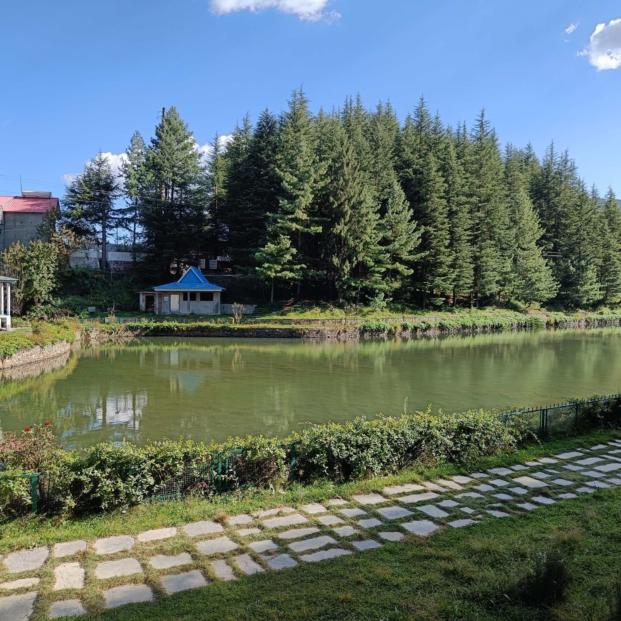
Narkanda
7 km
The base town for Hatu Peak, at about 2,700 metres on NH 5. Apple orchards, deodar forests, skiing slopes (January to March), and a small market. Most people stay here when visiting the peak. Two days in Narkanda covers Hatu Peak, Thanedar, and Tannu Jubbar Lake.
Jor Bagh Meadow
About 1 km past the temple
About a kilometre past the Hatu Mata temple, through oak forest. A flat alpine meadow good for picnics or overnight camping in summer (May to October). No facilities. Bring your own tent and gear.
Thanedar and Stokes Farm
About 16 km from Narkanda
The heart of Himachal's apple belt, about 16 km from Narkanda. Stokes Farm, the oldest apple orchard in the region, started in 1916. Visit in April for blossoms or August to September for harvest. Apple wine and jams available.
Tannu Jubbar Lake
About 12 km from Narkanda
A quiet forest lake surrounded by deodar trees, about 12 km from Narkanda. A small Nag Devta temple sits on the bank. Best between April and October.
Kufri
About 47 km from Narkanda toward Shimla
A popular stop between Shimla and Narkanda, known for snow in winter and pony rides. Busier and more touristy than the Narkanda area, but a natural stop on the drive.
Our packages with Hatu Peak
Curated trips that include a visit to Hatu Peak.
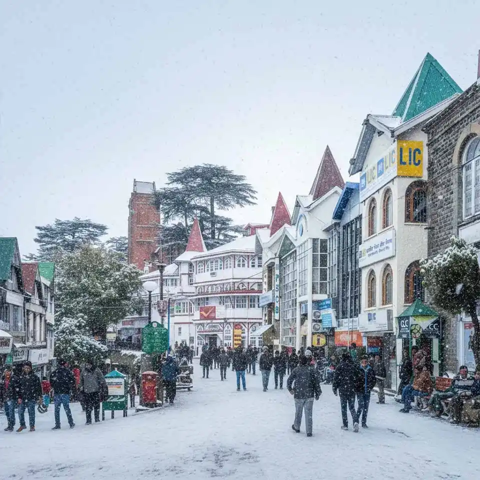 7D/6N
7D/6NShimla Mashobra Kufri Chail Narkanda Tour With Hatu Peak Sunrise
1D Delhi•3D Shimla+3
₹29,999₹38,999SAVE INR 9,000/ person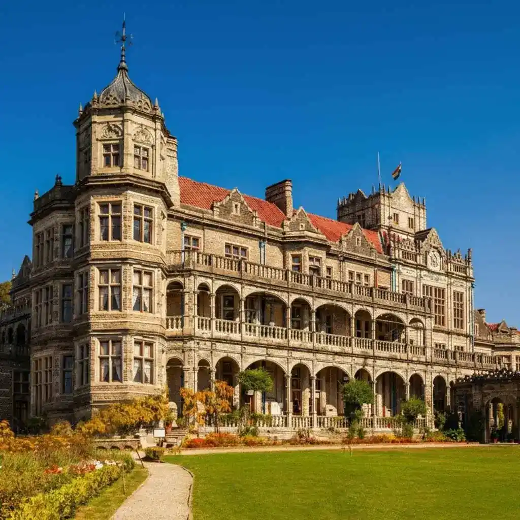 6D/5N
6D/5NShimla Mashobra Kufri Narkanda With Hatu Peak Sunrise
1D Delhi•2D Shimla+3
₹25,999₹31,999SAVE INR 6,000/ person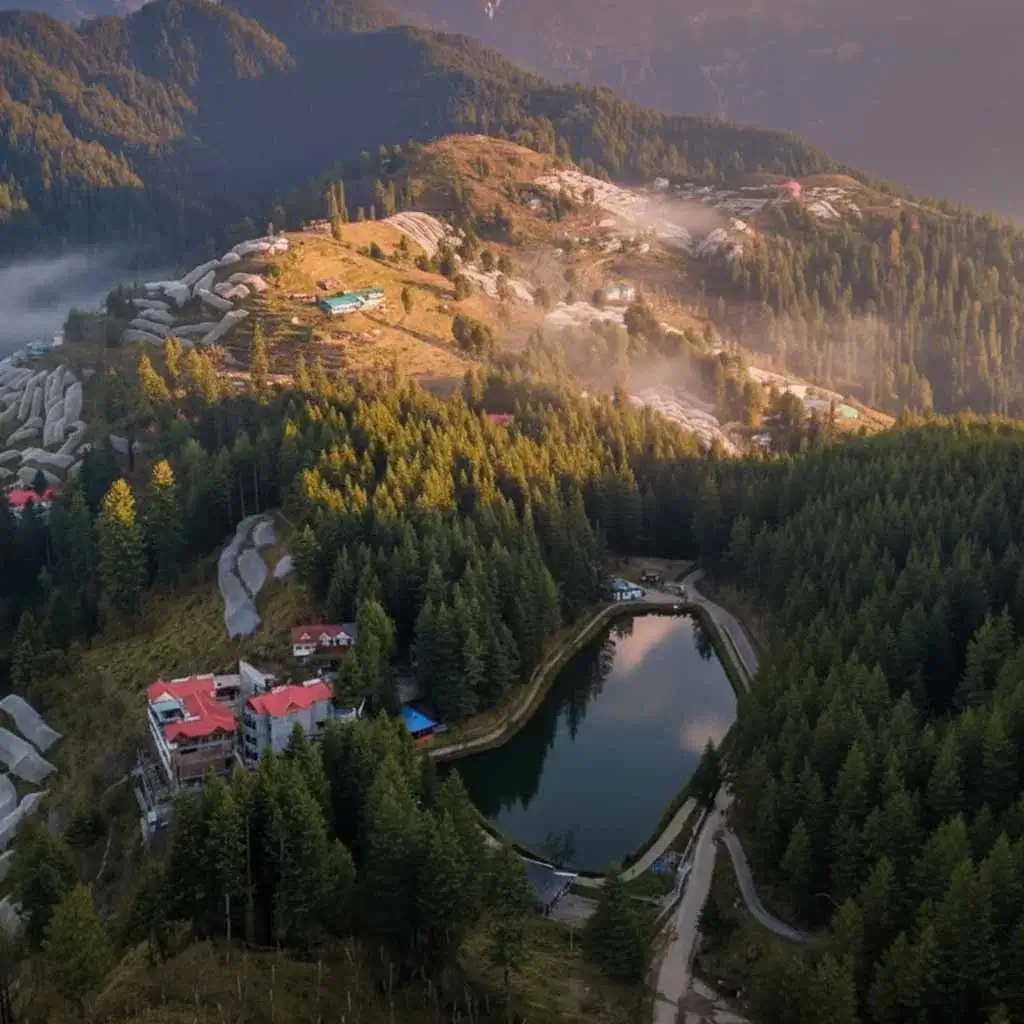 7D/6N
7D/6NClassic Shimla Kufri Chail Narkanda Pine Valley Experience
1D Delhi•2D Shimla+3
₹17,600₹23,999SAVE INR 6,399/ person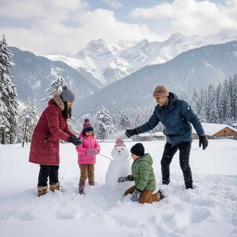 7D/6N
7D/6NBest Shimla Kufri Chail Narkanda Snow Trip From Delhi
1D Delhi•3D Shimla+3
₹14,700₹19,999SAVE INR 5,299/ person
Common questions about Hatu Peak
What is the altitude of Hatu Peak?
Hatu Peak is the highest point in Shimla district, at roughly 3,400 metres (about 11,150 feet) above sea level. Some GPS measurements have recorded elevations closer to 3,200 metres. It is located 7 km from Narkanda in Himachal Pradesh, and is accessible by road or a forest trek.
Can I drive to Hatu Peak?
Yes. The road from Narkanda to the summit is about 7 km. It is narrow and steep with tight switchbacks, but a vehicle in good condition with an experienced driver can make it. Sedans work, though SUVs handle the gradients more comfortably. If you are not confident, hire a local taxi from Narkanda market for about Rs 800 round trip with an hour's waiting time.
How long is the Hatu Peak trek?
About 2 to 3 hours uphill and 1.5 to 2 hours downhill. The trail is 7 km one way through deodar and fir forest. It is beginner level and does not require any special equipment or experience. Reasonably fit adults and children aged 7 and above can do it comfortably.
What is the best time to visit Hatu Peak?
April to June for clear views and pleasant trekking weather. October for the crispest air and clearest skies. January to March for snow on the trail and at the summit, though the road may be inaccessible by car. July to September is monsoon, when the peak is often clouded over by late morning.
What is the Hatu Mata Temple?
The Hatu Mata temple is a small Himachali temple at the summit, built in the Kathkuni style with interlocking wood and stone. Local beliefs hold that it is dedicated to Mandodari (wife of Ravana) and to Goddess Kali. Next to the temple is a rock formation called Bhima Chulha, believed to have been used by the Pandavas for cooking during their exile. Pilgrims visit in large numbers on the first Sunday of Jyeshtha. The temple is generally closed for 3 to 4 months in deep winter due to heavy snow.
Is there an entry fee for Hatu Peak?
No entry fee. No permit required. The trek and the road are freely accessible year round.
Are there facilities at the top?
No. The peak is uninhabited and has no facilities. There is no food, water, washroom, or shelter at the top. Carry everything you need from Narkanda. If you plan to camp at the Jor Bagh meadow nearby, bring your own tent and gear.
Can I take children or elderly parents to Hatu Peak?
Yes. The trek is beginner level and children aged 7 and above generally handle it well. Older children enjoy it. For those who cannot trek, the road goes all the way to the top. Seniors in reasonable health can visit by car. The summit clearing is relatively flat and easy to walk around.
How much time do I need?
3 to 4 hours for a drive up, views, temple visit, and drive back. Half a day if you trek up and drive or walk down. If you add camping at Jor Bagh meadow, plan overnight.
What is the best time of day to visit?
Early morning, before 8 AM if possible. The Himalayan ranges are sharpest in morning light, when the snow peaks catch the first sun. By early afternoon, clouds often roll in from the west and cover the summit. If you are trekking, start by 6 or 7 AM.