
Leh to Hanle to Tso Moriri Route Guide 2026: Distance, Road Condition, Stay & Safety
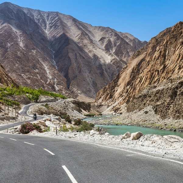
Most people who plan Ladakh stick to the Pangong loop, maybe add Nubra, and fly home thinking they have seen it all. They have not. The Leh to Hanle to Tso Moriri route takes you into the part of Ladakh that still feels like you have left the planet entirely.
No tourist buses. No café strips. Just open plateau, wild sky, and lakes so still they look photoshopped.
But this is also the route where bad planning punishes you the hardest. Wrong fuel math, skipped acclimatization, missing permits or a late start from Hanle can turn an extraordinary drive into a genuinely dangerous one.
We have sent travellers on this route for years, and the ones who love it most are always the ones who planned it right.
This guide gives you the exact route, real distances, road reality, stay options, permit details and safety advice you need to do this trip properly.
Quick Answer: Leh to Hanle to Tso Moriri Route in 2026
The practical route runs Leh to Karu to Upshi to Chumathang to Mahe to Nyoma to Loma to Hanle. From Hanle, the onward route to Tso Moriri goes Hanle to Loma to Nyoma to Mahe Bridge to Sumdo to Korzok (Tso Moriri).
Leh to Hanle is roughly 235 to 275 km depending on which exact route you follow. Hanle to Tso Moriri via Mahe is roughly 150 to 151 km.
Before you do any of this, spend at least 48 hours acclimatizing in Leh. This is not optional advice. It is official Ladakh guidance, and ignoring it at these altitudes is asking for trouble.
Is the Leh to Hanle to Tso Moriri Route Worth Doing?
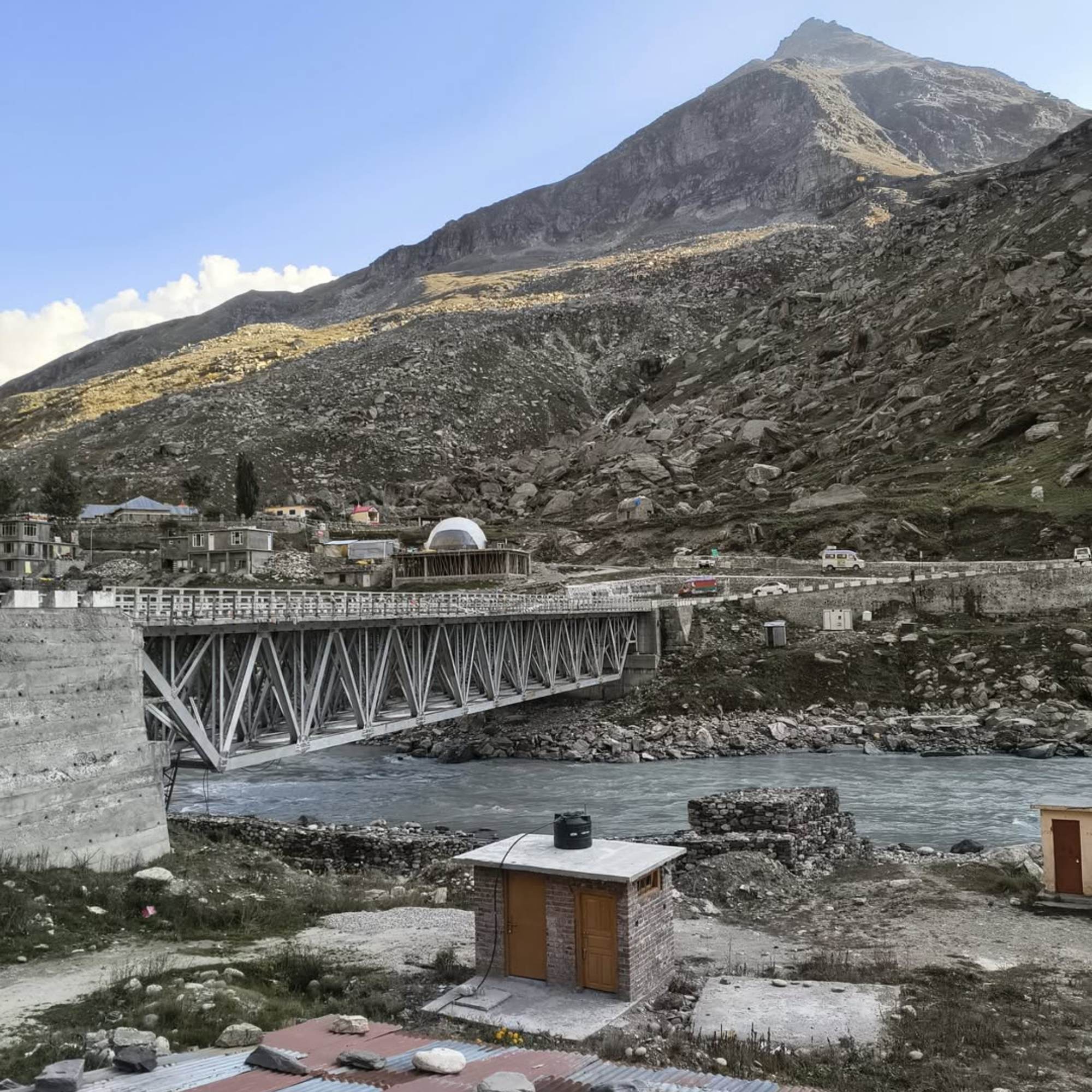
If you want the Ladakh that most tourists never see, yes.
Hanle sits at around 4,500 metres and is home to the Indian Astronomical Observatory. The night sky there is one of the darkest in India.
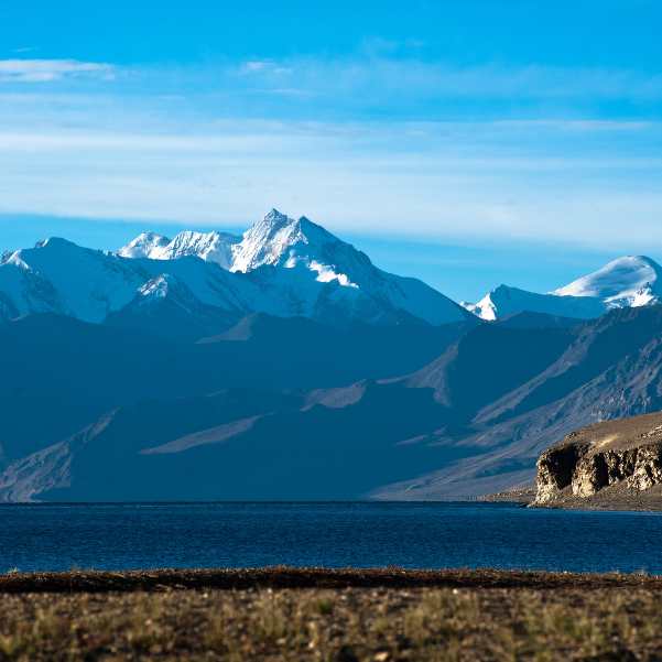
Tso Moriri sits at 4,522 metres on the Changthang plateau, a high-altitude lake that is quieter, less commercial and arguably more beautiful than Pangong.
The road between them crosses some of the most remote inhabited land in India. You will pass through wide open valleys where the only movement is a herd of pashmina goats and the only sound is wind. It is the kind of landscape that makes people go very quiet.
But this is not a casual sightseeing drive you can add to a standard Leh trip on a whim. You need early starts, the right permits, a fuel plan that accounts for zero guaranteed pumps on long stretches, proper warm gear, and ideally a driver who knows these roads.
If you want someone to handle the logistics, our Ladakh tour packages are built around routes like this one.
What Is the Best Leh to Hanle Itinerary Before Tso Moriri?
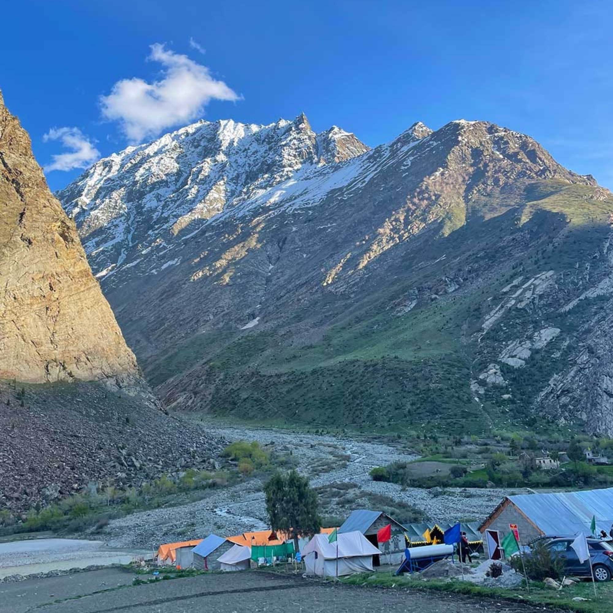
The single most important thing is acclimatization. Official Ladakh guidance says all tourists arriving in Leh must complete at least 48 hours of acclimatization before travelling to higher-altitude areas. This is not a suggestion. At 4,500 metres, unacclimatized bodies shut down fast.
What most travellers get wrong is treating Leh like a transit stop. They land, sleep one night, and head straight toward Hanle the next morning. By evening, they are dealing with splitting headaches, nausea and zero appetite at a remote homestay with no medical help anywhere nearby.
The safe approach is to spend 2 full nights in Leh doing gentle local sightseeing. Walk slowly. Drink 3 to 4 litres of water daily. Skip the alcohol and heavy meals. Let your body adjust to 3,500 metres before you push it to 4,500.
After those two days, the route we usually recommend is Leh to Hanle on Day 3, Hanle to Tso Moriri on Day 4, Tso Moriri back to Leh on Day 5, and departure on Day 6. If you have more days, add Nubra or Pangong before the Hanle leg, but only after proper acclimatization.
In our experience helping travellers plan this route, the ones who rush always regret it. The ones who give themselves an extra day always say it was worth it.
👉 Need the perfect Hanle route? Message us on WhatsApp.
What is the exact Leh to Hanle Route via Chumathang, Mahe, Nyoma and Loma?
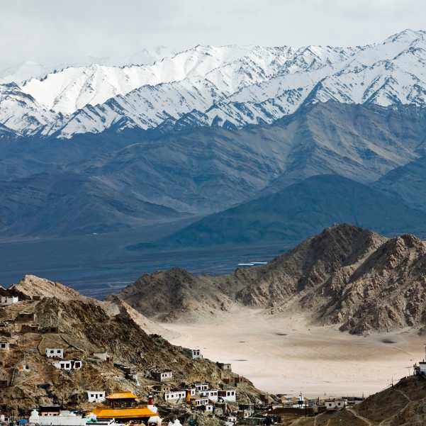
The standard route follows this sequence: Leh, Karu, Upshi, Kiari, Chumathang, Mahe, Nyoma, Loma, Rhongo, Hanle. One detailed breakdown puts this at 256 km, while broader sources give a range of 235 to 275 km depending on exact routing.
The drive takes roughly 9 to 12 hours, which sounds extreme for the distance but makes sense once you are on the road.
The first stretch from Leh through Karu and Upshi moves at a decent pace. After Upshi, you turn off the main Manali-Leh highway and the road gets quieter immediately.
The Chumathang section follows the Indus River for a while and the hot springs there make a good short break.
After Mahe and Nyoma, the landscape opens into vast plateau. Nyoma is an important stop because it has a reported petrol pump, and you should not pass it without topping up.
From Nyoma, you continue through Loma and Rhongo before reaching Hanle. The last stretch feels long because the terrain is flat, featureless and the altitude starts pressing on you.
This route is more practical than experimental shortcuts because it follows known villages and checkpost points where you can show permits, ask for road updates and get basic help if needed.
What Is the Hanle to Tso Moriri Distance via Mahe?
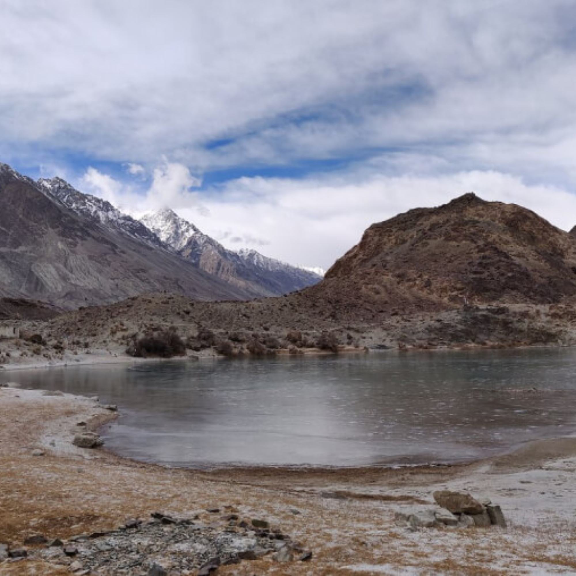
The Mahe route from Hanle to Tso Moriri runs: Hanle, Loma, Nyoma, Mahe Bridge, Sumdo, Namashang La, Korzok (Tso Moriri). The distance is roughly 150 to 151 km.
On paper, 150 km should take three hours. In practice, expect significantly longer. The altitude alone slows everything down.
You are driving at 4,000 to 4,500 metres for the entire stretch, which means the engine works harder, you think slower, and every stop takes longer than you expect.
Add checkposts, photo stops (and you will stop because the landscape is absurd), and the rough sections near Sumdo and the approach to Korzok, and you are looking at a much longer drive than the distance suggests.
One timing tip that makes a real difference: leave Hanle by 6 AM. The morning light across the Changthang plateau is extraordinary, the checkposts are less crowded, and you reach Korzok with enough daylight to walk to the lake and actually spend time there.
Our drivers always recommend the early start, and no traveller has ever complained about it.
Hanle Tso Moriri Road Condition: What Should You Expect?
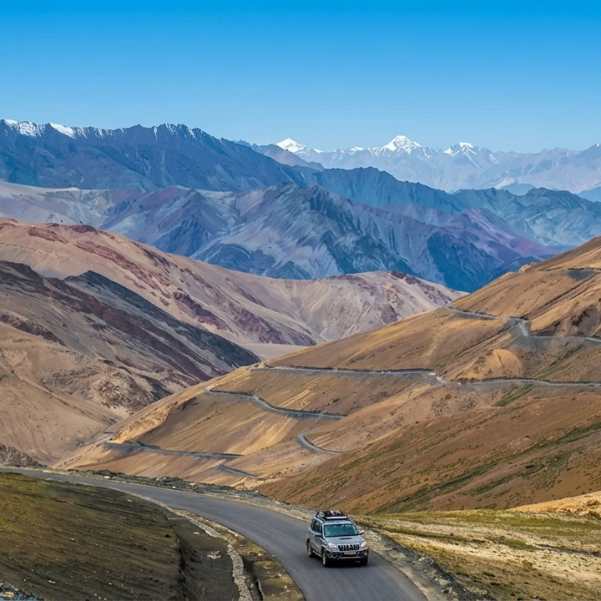
Both drives, Leh to Hanle and Hanle to Tso Moriri, are remote high-altitude routes where road quality changes by season and sometimes by week.
The Leh to Hanle road is decent for the first half, through Karu and Upshi on the main highway. After the turnoff, quality drops. You will find paved stretches alternating with gravel, broken tarmac and unpaved sections. It is not terrible, but it is not highway driving either.
The Hanle to Tso Moriri stretch via Mahe has smooth, unpaved, dirt and broken sections depending on which part you are on. The route near Sumdo can feel particularly slow. The final approach toward Korzok often has rough patches that rattle your teeth even in a good SUV.
For vehicles, a high-clearance SUV is the right choice. Bolero, Innova Crysta, Scorpio or similar. Sedans are a bad idea on this route. Not just uncomfortable but genuinely risky on the unpaved sections.
For bikers, this route is doable on a Royal Enfield or similar, but do not ride solo. Carry a toolkit, extra fuel, and do not start any section after 2 PM. If you get stuck on the Changthang plateau after dark without help, the cold is serious.
What we tell our travellers is simple: hire an experienced local driver who has done Hanle and Changthang before.
The roads are not the hardest in Ladakh, but the remoteness means a wrong turn or a breakdown has much bigger consequences than it would on the Pangong loop.
Should You Take the Chumur Route from Hanle to Tso Moriri?

You will find blogs and forums mentioning an alternate route from Hanle to Tso Moriri via Chumur, Salsal La and Charchagan La. This route skips Nyoma and cuts more directly through the plateau.
The distance is conflicting across sources. One says about 180 km, some traveller reports say around 150 km. The road quality, permit requirements and even the accessibility of this route change from season to season.
Skip this unless a local driver who has driven it that same week confirms it is allowed, open and suitable for your vehicle. This is not the standard route, and treating it as one is how people get stuck in the middle of the Changthang with no phone signal and no help.
The Mahe route via Nyoma is the known, checkpost-verified, generally navigable option. Use it.
Where to Stay in Hanle and Tso Moriri
Hanle Stays
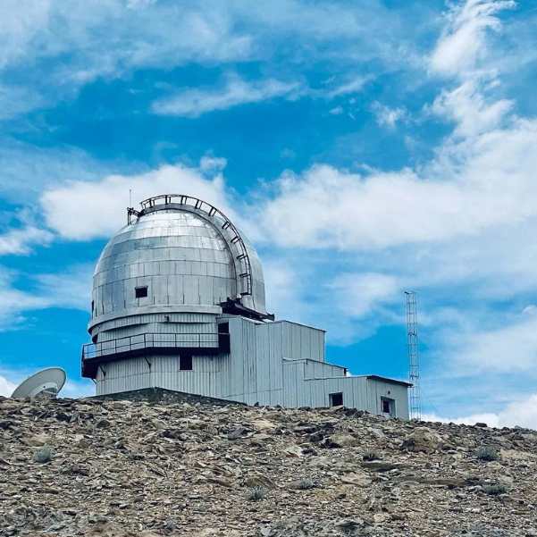
Hanle has basic homestays and guesthouses. Think simple rooms, thick blankets, a heater if you are lucky, and home-cooked meals. Electricity is limited and runs on solar or generator in most places. Mobile network is weak to nonexistent.
The best part of staying in Hanle is the people. The homestay hosts in this area are genuinely welcoming, and the food, usually dal, rice, roti with local sabzi, is simple and warm.
One honest warning: do not expect hotel-level comfort. The rooms can be cold at night even with blankets. Carry your own sleeping bag liner or a thermal blanket for extra warmth.
If you have stayed in Spiti homestays, Hanle will feel familiar. If your idea of a basic stay is a budget hotel in Manali, reset your expectations.
The small dhaba near the observatory turnoff serves hot momos and thukpa that hit differently at 4,500 metres after a full day of driving. Do not skip it.
Tso Moriri Stays
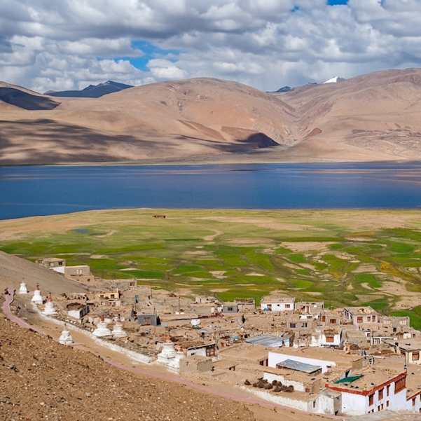
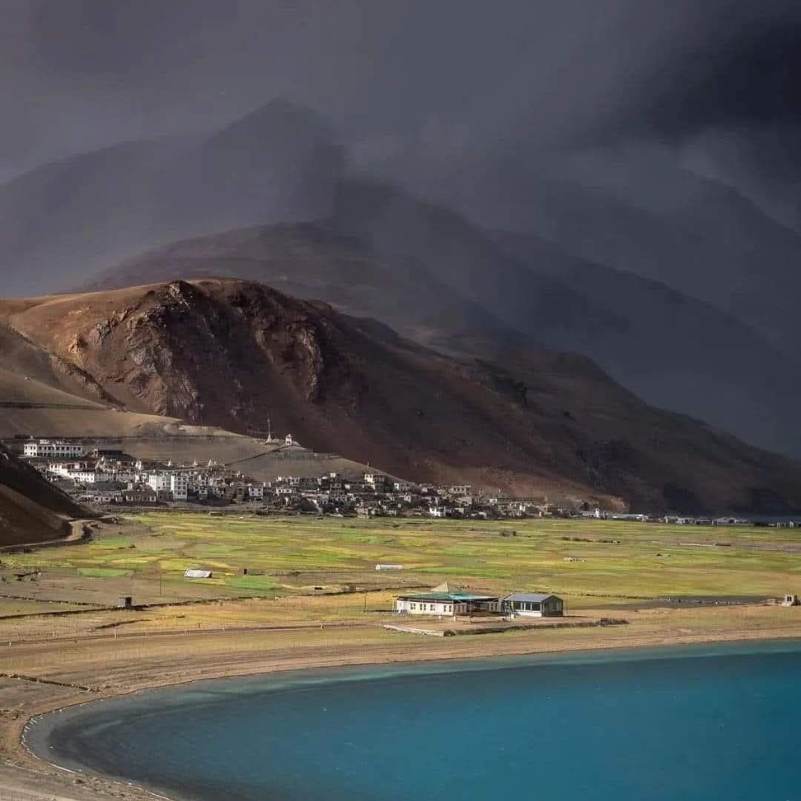
All accommodation near Tso Moriri is in the village of Korzok. Camping near the lake shore is not allowed because the area is ecologically protected.
Korzok has homestays, guesthouses and seasonal camps. The setups are basic: tents or rooms with mattresses, shared meals, pit toilets or simple washrooms. Some camps offer slightly better bedding but do not expect anything fancy.
Book ahead if you are travelling in July or August. During peak months, the limited number of rooms in Korzok fills up, and arriving without a booking means you might end up sleeping in a vehicle.
Permits, Checkposts and Documents Needed
Both Hanle and Tso Moriri fall in restricted or protected travel areas. You cannot just drive in without the correct permit.
Indian citizens generally need Inner Line Permit style permissions along with ecology and wildlife fees. The reported fee structure includes an environment fee of ₹400, a wildlife fee of ₹20 per day and a Red Cross fee of ₹50.
You can apply online through the official Leh permit portal, but the system can be slow and buggy. Many travellers find it easier to process permits through a registered travel agent in Leh.
Foreign nationals and OCI holders need a Protected Area Permit process. Here is the honest reality: online sources conflict on foreign and OCI access to Hanle and some of the advanced nearby routes in 2026.
Some blogs say it is open, others say it requires special permissions. Do not trust a blog for this. Verify directly with the Leh DC office, the official permit portal or a registered local operator before finalizing your itinerary.
Carry printed copies of all permits. Checkposts on this route are serious and can collect physical copies. Showing a PDF on your phone does not always work, especially when there is no signal to load it.
A money-saving tip most travel agents will not tell you
Process the permits yourself online a few days before you arrive in Leh. The agent fee for permit processing in Leh market ranges from ₹500 to ₹1,500 per person depending on the agency, and the actual process takes about 10 minutes once you know the portal.
Fuel, Food, Network and Cash Planning
This is where people make the mistakes that cost the most.
Fuel is the biggest planning item. Fill your tank completely in Leh or Karu before heading out.
The Nyoma petrol pump is reported as an important fuel point on this route, but do not build your entire fuel plan around a single remote pump. Carry extra fuel in jerry cans if your vehicle's range is tight.
Hanle does not have a regular confirmed petrol pump. Some travellers report buying fuel from village sources or black market suppliers, but this should be treated as emergency backup, not a plan.
For the Hanle to Tso Moriri stretch, you need enough fuel to cover 150 km on a route with altitude, unpaved surfaces and slow speeds, all of which eat fuel faster than highway driving. Our team always advises travellers to assume 30 to 40 percent higher fuel consumption than normal on these routes.
Food options between Hanle and Tso Moriri are close to zero. Pack enough snacks, biscuits, dry fruit and water for the full day. The homestays in Hanle and Korzok will feed you, but the road between them will not.
Mobile network barely exists on this route. BSNL has the best chance of catching a signal in some spots, but do not count on it. Download offline maps before you leave Leh. Google Maps offline works, and Maps.me is even better for these remote stretches.
Cash is king. No UPI, no cards, no ATMs between Leh and Korzok. Carry enough for fuel, food, stay, permits and any emergency for the entire stretch.
Safety Tips for the Leh Hanle Tso Moriri Route
Altitude Is the Biggest Risk
Both Hanle at 4,500 metres and Tso Moriri at 4,522 metres are serious altitude. Official Ladakh advisory asks travellers to drink 3 to 4 litres of water daily, avoid alcohol, smoking and sedatives during the first 48 hours, and consult a doctor immediately for severe altitude symptoms.
AMS symptoms include headache, nausea, dizziness and breathlessness. Most people handle it fine if they acclimatize properly in Leh first. But if anyone in your group develops confusion, persistent vomiting or difficulty breathing, descend immediately. Do not wait it out. Do not assume it will pass.
Medical Facilities Are Far Away
Medical care is concentrated in Leh. Remote areas like Hanle and the Changthang plateau have minimal medical infrastructure. A bad situation at Tso Moriri means a 5 to 7 hour drive back to a hospital.
Carry a proper first-aid kit, personal medicines, ORS, paracetamol, and if you are travelling as a group, an oxygen cylinder or portable oxygen can. This is not paranoia. It is basic preparation for 4,500 metre travel.
Road Safety
Drive only in daylight. These roads have no street lights, no guardrails and no help if you go off-road after dark. If your Leh to Hanle drive is running late, stop at Nyoma or wherever you are and continue the next morning. A night drive on the Changthang plateau is not worth the risk.
Skip this: some tourist groups try to combine Pangong and Hanle in a single rushed day by taking the direct Tsaga route, which is listed as 291 km of mostly rough dirt tracks. Unless you are on a specific expedition-style trip with full support, this is a bad idea for regular travellers.
Best Time to Do Leh to Hanle to Tso Moriri
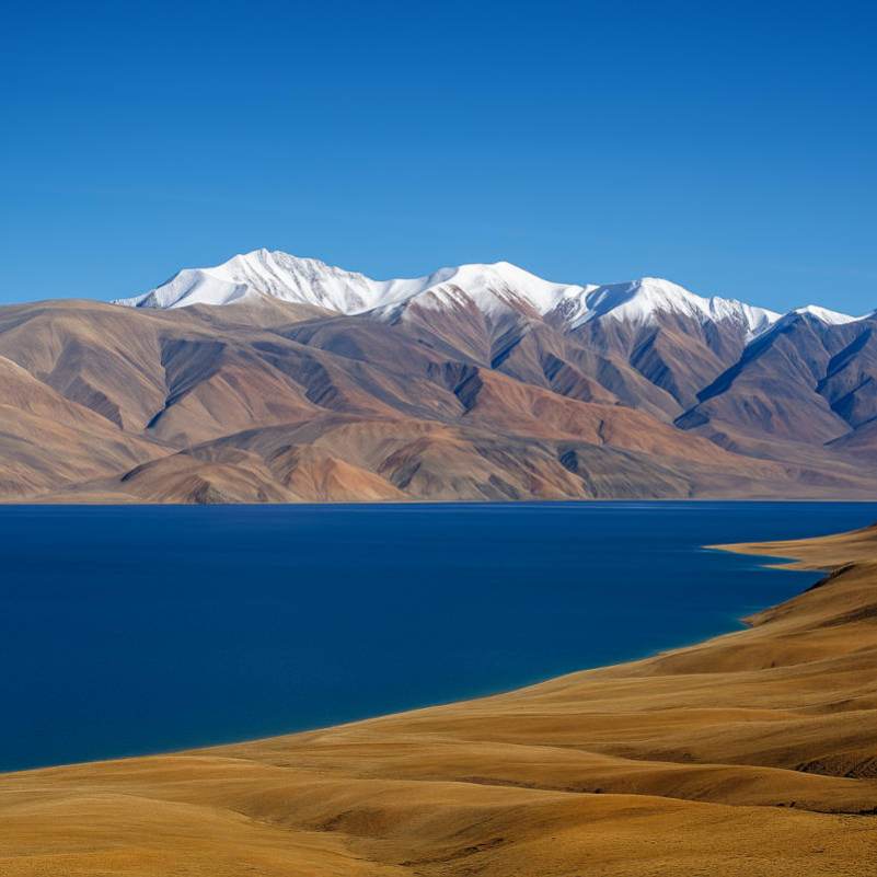
June to September is the most practical window for most travellers.
During these months, Tso Moriri stays are usually operational, the remote roads are at their most predictable, and the days are long enough to give you real driving time.
July and August are the safest months. Roads are settled, homestays and camps are running, and the weather is manageable during the day (though nights are always cold at this altitude).
June is fine but roads may still have rough patches from winter damage, and some camps near Tso Moriri might not be fully set up yet.
September is beautiful with clear skies and golden light, but nights get seriously cold and the travel window starts narrowing.
May and October are shoulder months with more uncertainty. Roads may be open but conditions can shift fast. Only attempt these months if you are experienced with high-altitude travel and have local support.
Winter travel on this route is a completely different proposition. Ladakh Tourism warns that winter temperatures can drop very low at these altitudes. Only attempt it with full local support, proper vehicles and complete verification of road status.
Tso Moriri to Leh or Tso Moriri to Manali: Which Exit Is Better?
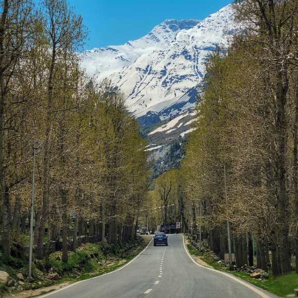
Return to Leh via Chumathang
The most common and simplest exit. From Korzok, you drive back through Sumdo and Mahe to Chumathang and then to Leh. The distance is about 213 km and takes about 7 hours.
This option makes sense if you have a flight from Leh, need medical fallback in Leh, or simply want a known road back to a proper town. Most travellers take this route.
Exit Toward Manali via Tso Kar and Debring
If the Manali-Leh highway is open, you can exit from Tso Moriri toward Tso Kar, Debring and eventually join the highway toward Manali. The Leh to Tso Moriri distance via Tso Kar is about 233 km and takes almost 8 hours, so the Manali direction adds significantly more.
This exit works well if you are continuing to Himachal and do not need to return to Leh. You can stop at Sissu for a proper room, hot shower and a night of rest after days of high-altitude homestays.
But only commit to this exit if the Manali-Leh highway and the Tso Kar side route are both confirmed open. In early June or late September, do not assume.
If your trip includes Kashmir after Ladakh, returning to Leh is the smarter choice because you can fly or drive to Srinagar from there.
Suggested Leh to Hanle to Tso Moriri Itineraries
6-Day Safe Itinerary
Day 1: Arrive in Leh. Rest completely. Walk slowly around the market if you feel fine, but do not push it. Drink lots of water. Skip alcohol.
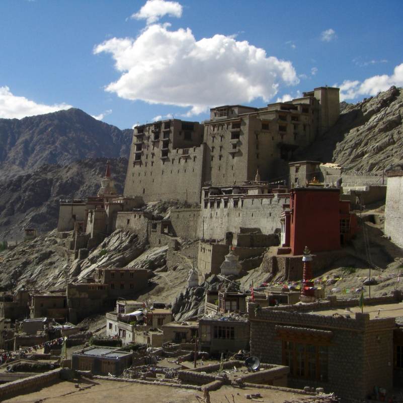
Day 2: Leh local sightseeing. Visit Shanti Stupa, Leh Palace, or walk through the old town. The goal is gentle activity at 3,500 metres, not exhaustion. This is your second acclimatization day.
Day 3: Leh to Hanle. Start by 5:30 to 6 AM. The drive is long, roughly 9 to 12 hours, and you want to reach before dark. Stop at Chumathang for tea and at Nyoma for fuel. Reach Hanle by evening, settle into your homestay, eat warm food and sleep early.
Day 4: Hanle to Tso Moriri. Leave by 6 AM. Visit the observatory area if you woke early enough, otherwise head straight toward Korzok via Nyoma and Mahe. Reach Tso Moriri with enough daylight to walk to the lake. Stay overnight in Korzok.
Day 5: Tso Moriri to Leh. Drive back via Chumathang. About 213 km, roughly 7 hours. Reach Leh by evening.
Day 6: Departure from Leh.
8 to 9 Day Version with Nubra or Pangong
If you have more time, you can add Nubra Valley or Pangong before the Hanle leg. The key rule: do Nubra or Pangong after your 48-hour acclimatization in Leh, before heading to Hanle.
A possible flow: Day 1 to 2 in Leh (acclimatize), Day 3 to 4 Nubra Valley, Day 5 return to Leh, Day 6 Leh to Hanle, Day 7 Hanle to Tso Moriri, Day 8 Tso Moriri to Leh, Day 9 departure. This works but needs all permits sorted in advance.
Do not try to do Pangong and Hanle back-to-back without returning to Leh. The direct Pangong to Hanle route exists but it is rough, long and risky for standard travellers.
If you are the kind of traveller who also loves high-altitude routes in Himachal, our Spiti Valley trips pair well with a Ladakh visit.
👉 Get your customized Leh–Hanle–Tso Moriri itinerary on WhatsApp.
Explore Our Curated Leh Ladakh Tours
 6D/5N
6D/5NUltimate Leh Ladakh Tour Package with Nubra Valley & Pangong Lake
2D Leh•1D Nubra Valley+1
₹28,999₹35,999SAVE INR 7,000/ person 6D/5N
6D/5NBest Selling Leh Ladakh Tour With Nubra Valley and Pangong Lake
2D Leh•1D Nubra Valley+1
₹23,999₹28,599SAVE INR 4,600/ person 4D/3N
4D/3NLeh Ladakh Short Getaway
2D Leh•1D Pangong Lake
₹16,499₹19,999SAVE INR 3,500/ person
Related topics
Frequently Asked Questions
What is the distance from Leh to Hanle?
Leh to Hanle is roughly 235 to 275 km depending on the exact route. One detailed breakdown via Karu, Upshi, Chumathang, Mahe, Nyoma, Loma and Hanle puts it at about 256 km. The drive takes roughly 9 to 12 hours.
What is the Hanle to Tso Moriri distance via Mahe?
The Hanle to Tso Moriri distance via the Mahe route is roughly 150 to 151 km. The route goes Hanle, Loma, Nyoma, Mahe Bridge, Sumdo, Korzok.
Can I do Hanle to Tso Moriri in one day?
Yes. The distance is about 150 km and it is doable in a day if you start early, ideally by 6 AM. But the altitude and road quality make it feel longer than you expect. Do not start late.
What is the Hanle Tso Moriri road condition like?
Mixed. You will find smooth, unpaved, dirt and broken stretches depending on the section. The approach toward Korzok can be particularly rough. A high-clearance SUV and experienced driver make a big difference.
Which route is better, Mahe or Chumur?
The Mahe route via Nyoma is the standard, safer and more predictable option. The Chumur route is more remote, has conflicting distance reports and may require special permissions. Use Mahe unless a local driver confirms Chumur is open and suitable that same week.
Do I need a permit for Hanle and Tso Moriri?
Yes. Both areas require permits. Indian citizens need Inner Line Permit style permissions with ecology and wildlife fees. Apply online through the Leh permit portal or through a registered agent in Leh. Carry printed copies.
Can foreigners visit Hanle and Tso Moriri?
Foreign nationals and OCI holders need a Protected Area Permit process. However, online sources conflict on access rules for Hanle and advanced nearby routes in 2026. Verify directly with the Leh DC office, official permit portal or a registered local operator before booking.
Where should I stay in Hanle?
Hanle has basic homestays and guesthouses with simple rooms, limited electricity and home-cooked meals. Carry extra warm layers for the night. There are no hotels in the conventional sense.
Where should I stay near Tso Moriri?
All stays are in Korzok village. Options include homestays, guesthouses and seasonal camps. Camping near the lake shore is not allowed. Book ahead during July and August.
Is there fuel between Hanle and Tso Moriri?
The Nyoma petrol pump is reported as the nearest fuel point, but availability must be verified before departure. There is no confirmed regular pump in Hanle. Fill up in Leh or Karu and carry extra fuel if needed.
How many days are enough for Leh Hanle Tso Moriri?
6 days minimum including 2 days of acclimatization in Leh. An 8 to 9 day trip gives you buffer days and the option to add Nubra or Pangong.
Is this route safe for first-time Ladakh travellers?
It is safe if you acclimatize properly, carry the right permits, fuel and gear, and travel with an experienced driver. It is not ideal as the very first thing you do in Ladakh. Spend your acclimatization days doing gentler sightseeing around Leh first.
More about Ladakh
 Ladakh
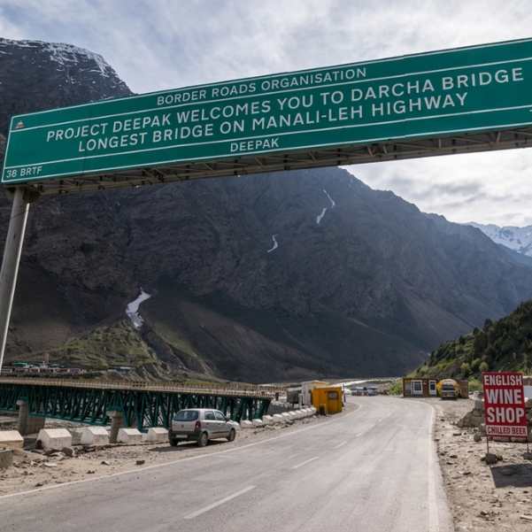
Manali to Leh Highway 2026: Every Pass, Stop and Distance
Plan your Manali to Leh Highway journey in 2026 with a complete guide to major mountain passes, overnight stops, route highlights, and distance. Discover key stops like Jispa, Sarchu, and Pang, along with famous passes including Baralacha La and Tanglang La.
- Road Trips
- How to Reach
 Ladakh
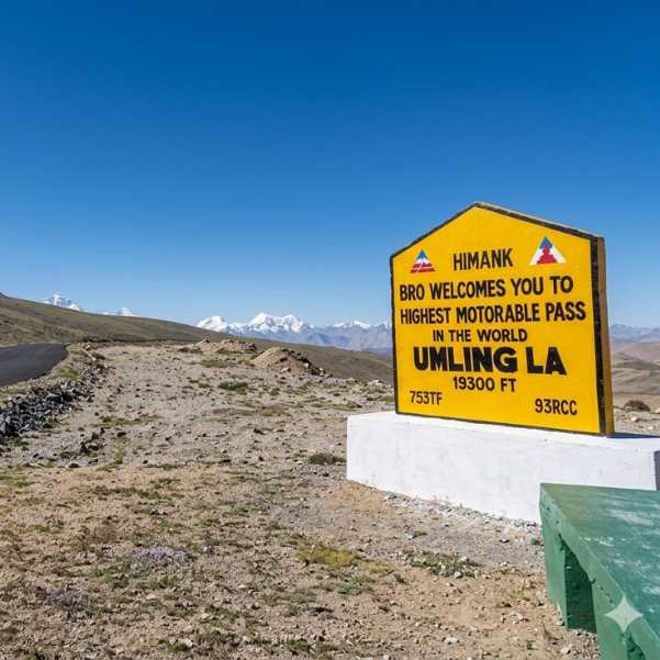
Umling La Ladakh Guide 2026: Route, Altitude, Permit, Safety & Reality Check
Planning to visit Umling La in 2026? This complete guide covers the route, altitude, permit requirements, road conditions, safety tips, and the realities of travelling to one of the world's highest motorable roads.
- Road Status
- Altitude & Health
 Ladakh
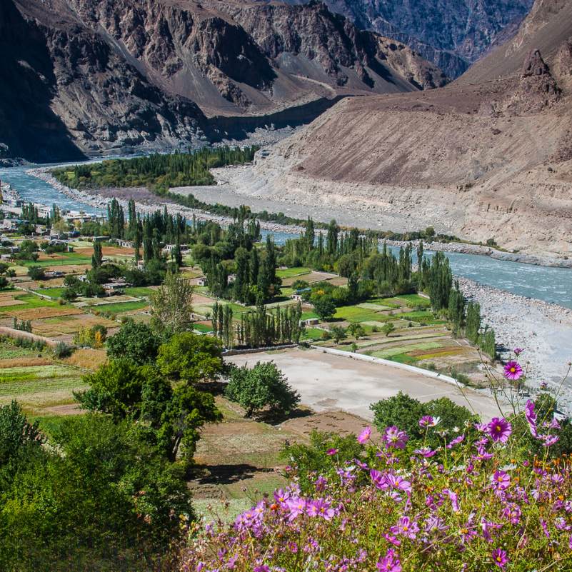
Turtuk Ladakh Travel Guide 2026: Balti Culture, Apricot Orchards and Why It Is Perfect for Families
Planning a trip to Turtuk? This 2026 travel guide explores the village's rich Balti culture, beautiful apricot orchards, top attractions, travel route, and why Turtuk is one of the best family-friendly destinations in Ladakh.
- Places to Visit
- Family Travel