
Umling La Ladakh Guide 2026: Route, Altitude, Permit, Safety & Reality Check
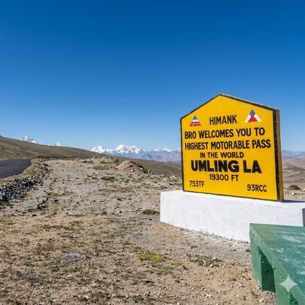
If you are planning Umling La Ladakh in 2026, the first thing to get clear is this. This is not a casual detour you bolt onto a regular Leh trip.
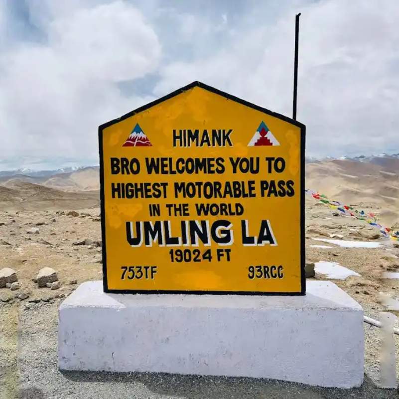
Umling La sits at 19,024 ft (5,798 m) near Hanle in eastern Ladakh. The air up there is thin enough that even a short selfie session leaves you gasping.
We send travellers to Ladakh every season, and the ones who enjoy Umling La are always the ones who treat it as a serious high-altitude day, not a checklist item.
This guide gives you the real route, the actual altitude, the messy permit situation, and an honest safety check before you go.
Quick Answer: Should You Visit Umling La Ladakh in 2026?
Yes, but only if you have acclimatised properly first.
Umling La Ladakh is an extreme high-altitude road near Hanle in eastern Ladakh at 19,024 ft / 5,798 m.
Plan it as a day attempt from Hanle, not from Leh. Go only after spending at least 48 hours acclimatising in Leh and checking current road and permit status.
This is not a first-time Ladakh detour. If you have just landed in Leh and feel even slightly off, this road is not for you yet.
What Is Umling La and Why Is It Famous?
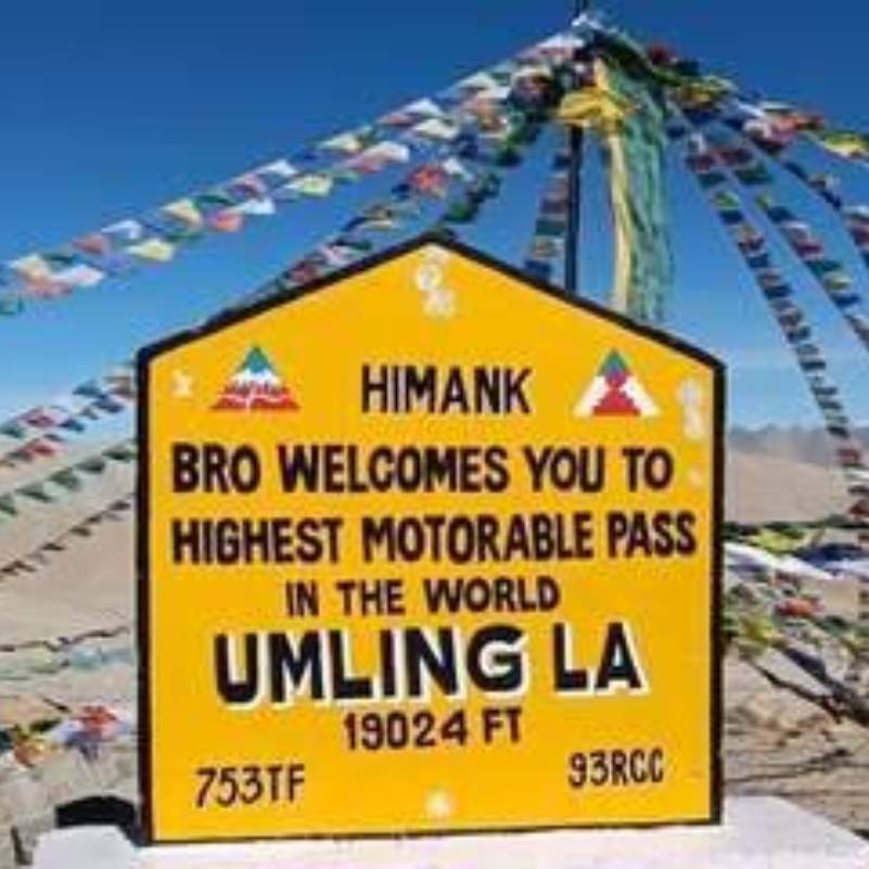
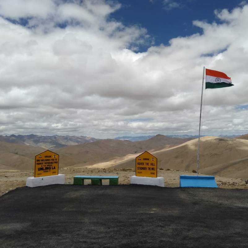
Umling La became famous for one reason. Guinness World Records recognised it as the highest altitude road in the world.
The official verified figure is 5,798.251 m / 19,024 ft 0.73 in. The Border Roads Organization through Project Himank and 753 BRTF achieved this record on 9 November 2021.
The road is part of the Chisumle to Demchok route built by BRO. That stretch is 52 km long and runs roughly 15 km from the LAC.
For years people called it the highest motorable road in the world, full stop. The 2026 reality is more nuanced, and we will get to that below.
If you want the bigger Ladakh picture before zooming into Umling La, our Ladakh tour packages lay out the routes most travellers actually use.
Where Is Umling La Located in Ladakh?
Umling La is in eastern Ladakh, and almost everyone plans it together with Hanle.
The route references you will hear are Chisumle and Demchok. This is a sensitive border region, so never treat the pass like a normal sightseeing point.
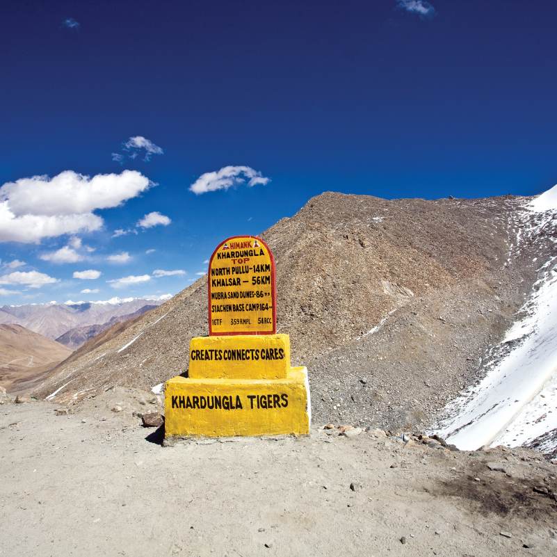
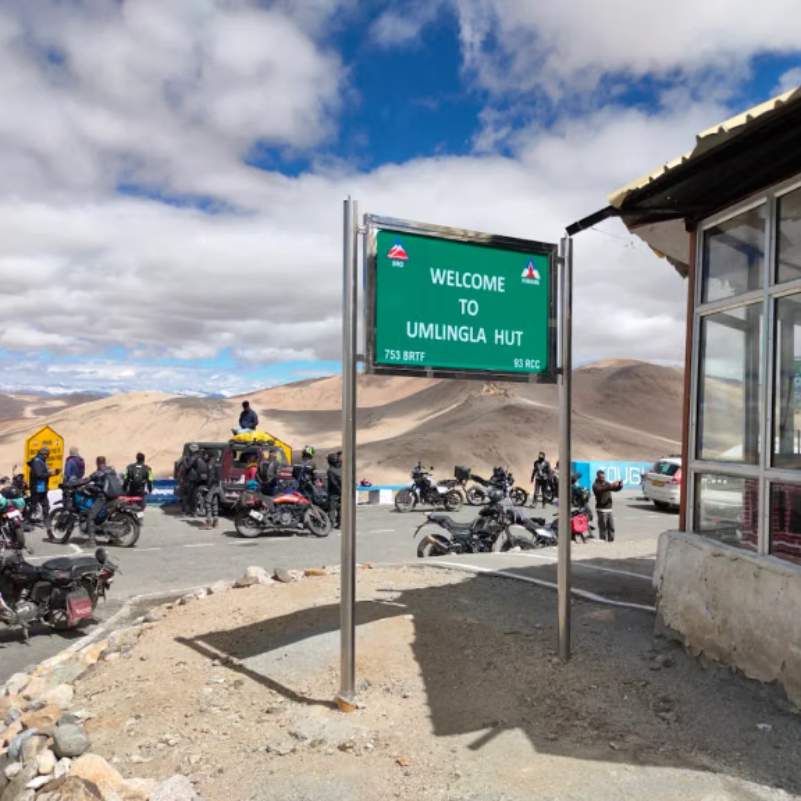
What most tourists get wrong here is the mindset. They show up expecting a Khardung La style photo stop with stalls and crowds. Umling La is nothing like that. It is remote, exposed, and quiet.
Access can change fast. Army restrictions, weather, road work, or a simple local instruction can shut the route on the day you planned to go.
What Is the Altitude of Umling La?
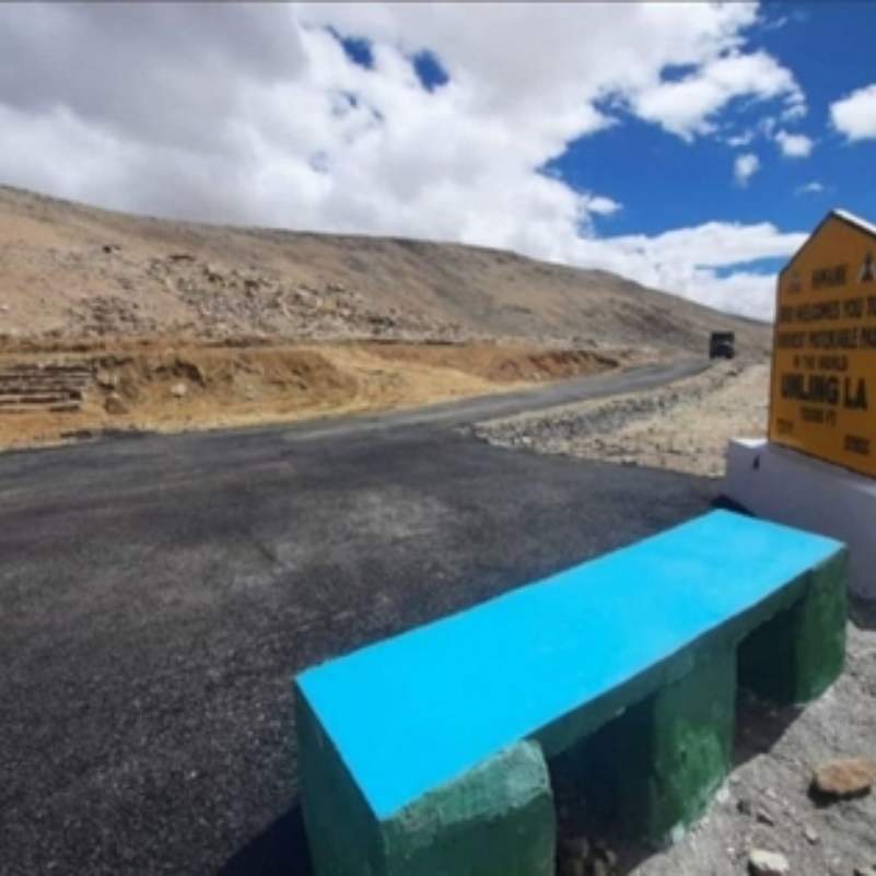
The verified Guinness altitude is 5,798.251 m / 19,024 ft 0.73 in.
That number is not just a bragging point. At this height the air holds far less oxygen than your body is used to.
A short walk feels tiring. A few jumps for a reel can make your head spin. Sudden excitement at the top hits harder than you expect because you are already running low on oxygen.
We are not giving medical advice here beyond plain caution. Move slowly, breathe steady, and do not push your body to perform at 19,000 ft.
Is Umling La Still the Highest Motorable Road in the World in 2026?
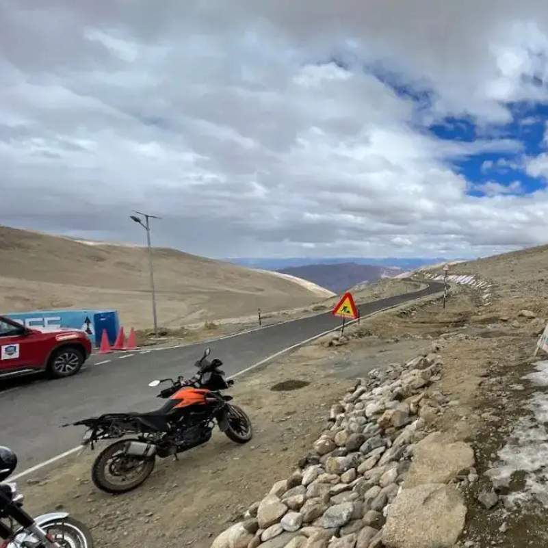
Here is the honest reality check most blogs skip.
Guinness still lists Umling La's 2021 record at 19,024 ft. But Akashvani News reported in 2025 that BRO's Mig La road at 19,400 ft overtook Umling La.
So in 2026, it is safer to call Umling La one of the highest motorable roads in the world and one of the most visitable extreme-altitude roads for Ladakh travellers, not simply the undisputed highest road.
If a travel agent still sells it as "the world's highest road, guaranteed," take that with a pinch of salt. The title has moved.
What Is the Best Route from Hanle to Umling La?
Think of Umling La as a Hanle-based day attempt, not a Leh day trip. That single mental shift saves a lot of grief.
You sleep at Hanle, start early, drive to the pass, and come back to Hanle the same day.
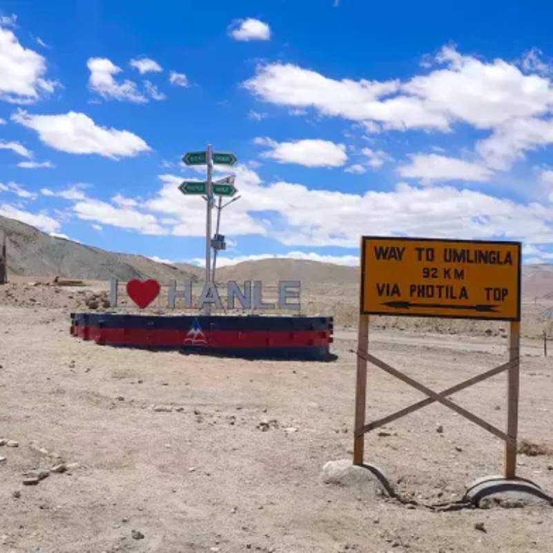
Hanle to Umling La via Photi La
This is the route we recommend for most first-time Umling La travellers.
The distance is around 75 km one way and it takes about 3 to 4 hours one way.
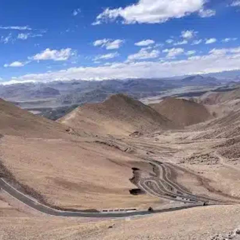
Road conditions are a mix of tarred sections, rough patches, loose gravel, and possible water crossings. Even where the surface looks smooth, you are still deep in remote terrain with no help nearby.
Hanle to Umling La via Ukdungle / Nurbula
This route runs around 88 km one way.
It is more adventurous. Attempt it only if you are a confident driver or biker with proper backup and a second vehicle if possible.
Loma / Koyul / Demchok Route
The Loma to Koyul stretch can be sensitive. Loma to Umling La via Koyul and Lekeng Yok is around 116 km from Loma.
The Demchok line, around 129 km from Loma, is restricted or permission dependent.
Do not plan these routes as a normal tourist unless your local operator confirms access close to your travel date. This is not a place to improvise.
How Do You Reach Umling La from Leh?
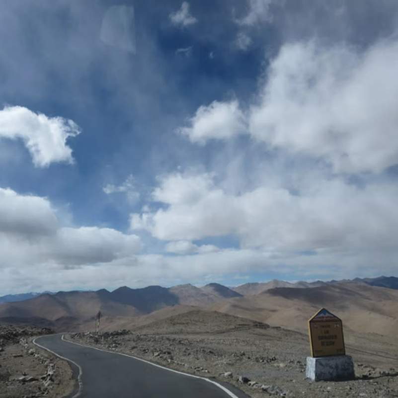
The regular approach runs from Leh to Karu, Upshi, Chumathang, Mahe, Nyoma, Loma and Hanle.
Leh to Hanle is around 275 km and takes 9 to 10 hours. That is a full, tiring day on the road.
There is also an alternate line from Pangong / Spangmik to Hanle via Chushul and Tsaga, but only attempt it if current permits and road status allow.
Spangmik to Hanle is around 176 km and takes 6 to 7 hours.
One local tip our drivers always give. Start from Leh early and never plan to reach Hanle after dark. These roads are hard enough in daylight.
How Many Days Do You Need for Umling La?
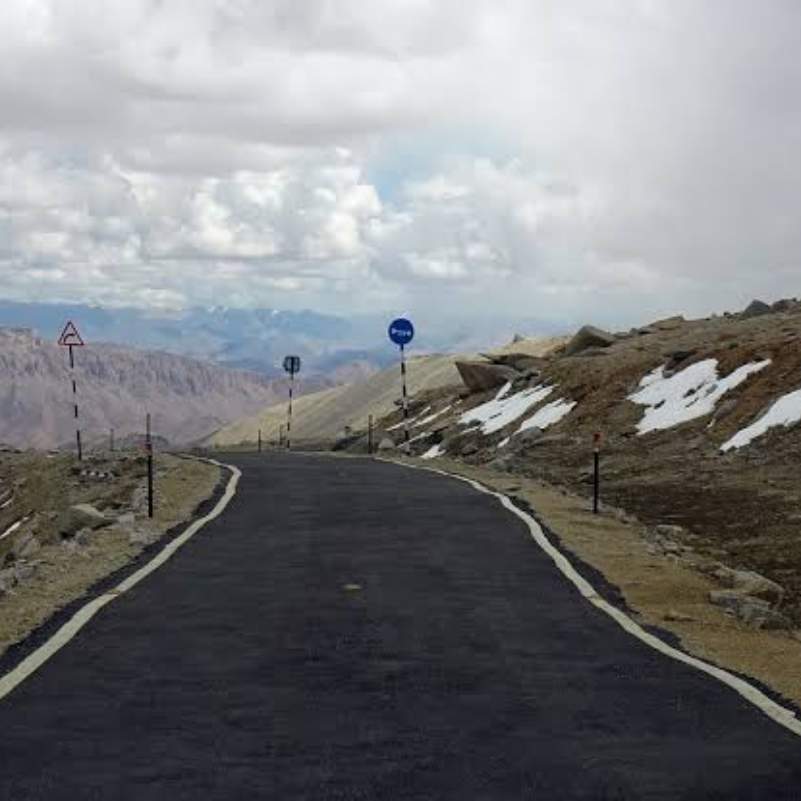
Do not do Umling La as a same-day trip from Leh. People who try this end up sick, scared, or both.
Give yourself at least 2 nights in Leh to acclimatise before touching any high-altitude area, then move gradually towards Hanle.
A clean plan looks like this. Day 1 you arrive in Leh and rest. Day 2 is a light Leh acclimatisation day. Day 3 you drive from Leh to Hanle. Day 4 you go Hanle to Umling La and back to Hanle. Day 5 you continue to Tso Moriri or return to Leh.
That slower build is the difference between enjoying the pass and suffering through it.
👉 Need the perfect Umling La itinerary? Chat with us on WhatsApp.
Do You Need a Permit for Umling La in 2026?
This is where sources conflict, so read carefully.
The official Leh District Tourist Management System says tourist fees can be paid online. Domestic travellers can show a PDF or hard copy payment slip at checkposts.
The domestic registration page says no physical DM office verification is required for the payment slip. It also says a Leh arrival boarding pass must be shown along with the permit or payment slip.
The fee itself covers an environmental fee, Red Cross Fund, and wildlife fee, paid online through the official portal.
Now the messy part. Some 2026 travel sources say Indians do not need an old-style ILP for Umling La and only need the online environmental fee receipt. But some rider-focused sources still say permission beyond Hanle may be checked or restricted.
What we tell our travellers is simple. Select or mention Hanle while applying, carry your ID, and keep several physical copies. Then verify Umling La access with a local operator, your Hanle homestay, or the official checkpost 24 to 48 hours before attempting.
For foreign travellers, PAP rules and access are more sensitive. Some sources say foreigners may be allowed if the PAP specifically lists Hanle to Umling La, while others say access may be limited to Hanle.
What Is the Best Time to Visit Umling La?
The usual planning window is late May or June to September, depending on snow and road clearance.
September is often the safest overall month. Roads are drier and more stable, and the surface holds up better.
Early May can be risky because of leftover snow and slush. Early October is possible but risky and can close suddenly when fresh snow arrives. Winter travel should not be planned at all.
What Is the Road Condition from Hanle to Umling La in 2026?
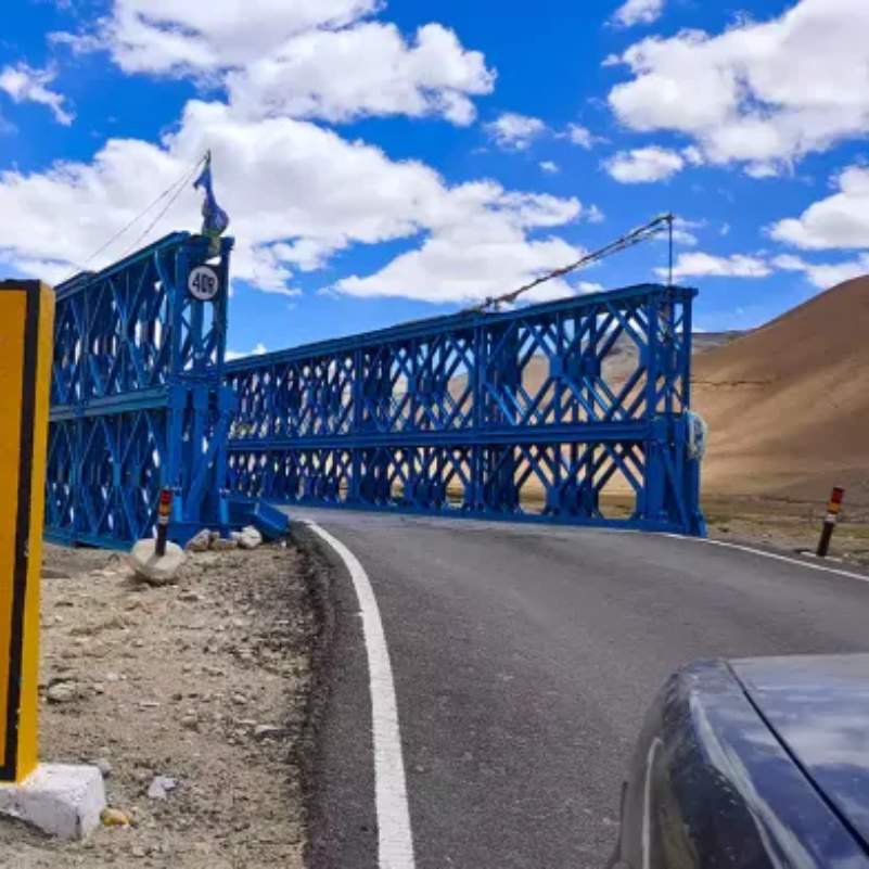
The 2026 reports suggest the Photi La route is better than earlier seasons, with more tarred sections.
But a smooth patch here and there does not make it a normal highway.
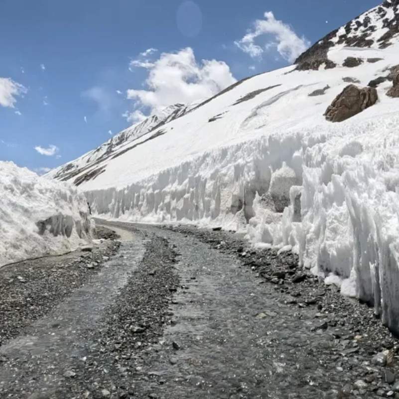
You will still hit rough stretches, loose gravel, water crossings, sudden snow, ongoing road work, and zero service support. If your car breaks down, there is no mechanic for hours.
A good road surface does not make Umling La easy. The altitude does the real damage, not the potholes.
Is Umling La Safe?
Umling La can be done safely, but only with respect for the height.
Altitude sickness risk
The official Leh health advisory says travellers arriving in Leh should take at least 48 hours of acclimatisation before going to high-altitude areas.
It also says no active physical exertion in the first two days after arrival, and a water intake of 2 to 3 litres per day.
Watch for headache, nausea, dizziness, breathlessness, confusion, and heavy tiredness. If these get worse, descend and seek medical help. Do not wait it out at altitude.
Who should avoid Umling La?
Skip Umling La if you are a rushed first-time Ladakh visitor, or if you already feel unwell in Leh or Hanle.
It is also a bad idea for people with heart or lung issues, very young children, elderly travellers with health concerns, and solo bikers without backup.
How long should you stay at the top?
Keep the summit stop short, somewhere between 10 to 30 minutes.
Do not run, jump, shout, or spend ages filming reels. We have seen fit, healthy people get dizzy at the top simply because they got too excited and overexerted.
Which Vehicle Is Best for Umling La?
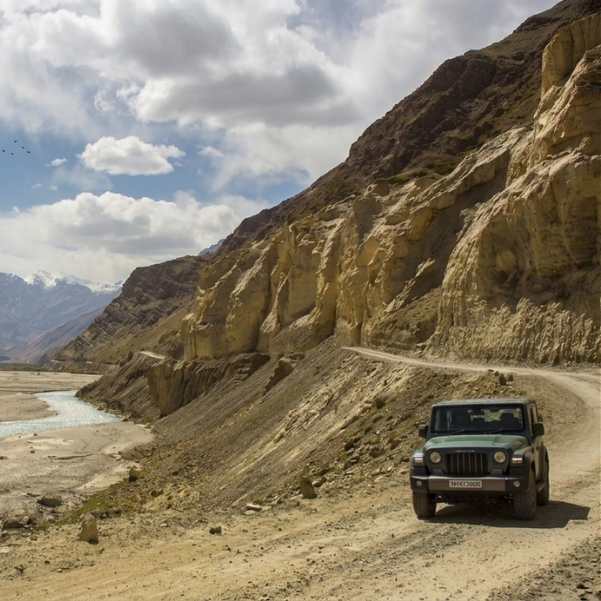
Use a high-ground-clearance SUV with an experienced local driver. AWD or 4x4 adds a real safety margin on the rough sections.
For bikers, take a well-serviced bike and only attempt this if you have real experience on rough high-altitude roads.
Sedans and hatchbacks are not recommended unless the latest local road report is excellent and your driver knows the route well. A low car on this stretch is asking for trouble.
Is Umling La Worth It?
Honest answer. It depends on who you are.
Yes, if you are an acclimatised adventure traveller who already includes Hanle and understands the risks. The sense of standing on one of the highest roads on earth is real.
No, if you are on a short Leh, Nubra, Pangong loop, or you want comfort, or you are only chasing the signboard photo.
In our experience, the travellers who enjoy Umling La most are the ones who treat it as a serious high-altitude day, not a checklist item.
Where to Stay Before Visiting Umling La?
Hanle is the practical base. There is nothing closer that makes sense.
Stays are mostly basic homestays and guesthouses. Costs run around ₹700 to ₹1,500 per room per night, since prices shift with the season.
Electricity, heating, hot water, and network may all be limited. Set your expectations low and you will be fine.
Do not plan to stay or camp near the Umling La top. There is nothing there, and sleeping at that altitude is dangerous.
If Ladakh is part of a wider mountain trip for you, our Kashmir tour packages pair well with a Leh extension.
Fuel, Network, Food and Emergency Reality Check

If you are coming from Leh, Karu is your reliable fuel point. Fill up there.
Nyoma supply should not be treated as guaranteed. Carry spare fuel and never depend on village fuel.
Mobile network after leaving Hanle is not reliable. There is no proper food, fuel, or major medical facility near the pass, so carry your own supplies.
Army posts may help in a genuine emergency, but do not plan irresponsibly assuming a rescue. Also carry cash from Leh, because ATMs in remote areas often do not work.
Suggested Umling La Itinerary for 2026
Here is a realistic plan we use as a base.
Day 1: Arrive in Leh and rest
Keep it light. No sightseeing rush, no climbing anything. Let your body register the altitude.
Day 2: Leh acclimatisation
An easy local day only. Use this time to check your permit or payment slip and confirm route status.
Day 3: Leh to Hanle
Cover the 275 km which takes 9 to 10 hours. Start early and pace the day so you reach before dark.
Day 4: Hanle to Umling La and back to Hanle
The round trip is around 150 km and takes 8 to 9 hours. Start by 5 to 6 AM and return to Hanle the same day.
Day 5: Hanle to Tso Moriri or Leh
This depends entirely on route permission, time in hand, and how everyone is feeling.
👉 Need help planning your Umling La road trip? Chat with us on WhatsApp.
You can also see the full route context in our Ladakh tour packages.
What Should You Pack for Umling La?
Pack for serious cold and full self-sufficiency.
Carry warm layers, gloves, a cap, sunglasses, sunscreen, water, and snacks. Add an oxygen backup, a power bank, offline maps, cash, ID copies, and copies of your permit or payment slip.
On the medical side, carry basic medicines only after your doctor's advice. For the vehicle, keep a puncture kit, tow rope, spare fuel, and basic vehicle spares.
If you are also eyeing the Himachal side of the Himalayas, our Spiti Valley tour packages cover similar high-altitude terrain at a gentler pace.
Common Mistakes Travellers Make on Umling La
The biggest one is leaving Hanle too late. A mid-morning start means you hit the rough sections as light fades, which is exactly what you want to avoid.
Another classic is attempting Umling La right after landing in Leh without acclimatising. Your body simply cannot handle that jump.
People also stay too long at the top, ignore early headaches or nausea, and go solo without any backup. Each of these turns a manageable day into a risky one.
Then there is the permit trap. Travellers trust old permit blogs instead of checking current rules, skip spare fuel, and treat this route like Khardung La. It is not Khardung La. Respect the difference and you will be fine.
Explore Our Curated Leh Ladakh Tours
 6D/5N
6D/5NUltimate Leh Ladakh Tour Package with Nubra Valley & Pangong Lake
2D Leh•1D Nubra Valley+1
₹28,999₹35,999SAVE INR 7,000/ person 6D/5N
6D/5NBest Selling Leh Ladakh Tour With Nubra Valley and Pangong Lake
2D Leh•1D Nubra Valley+1
₹23,999₹28,599SAVE INR 4,600/ person 4D/3N
4D/3NLeh Ladakh Short Getaway
2D Leh•1D Pangong Lake
₹16,499₹19,999SAVE INR 3,500/ person
Related topics
Frequently Asked Questions
Is Umling La the highest motorable road in the world?
Guinness recorded it as the highest at 19,024 ft in 2021. But Akashvani News reported in 2025 that Mig La at 19,400 ft overtook it, so in 2026 it is one of the highest, not the undisputed highest.
What is the altitude of Umling La?
The verified Guinness altitude is 5,798.251 m, which is 19,024 ft 0.73 in. It is high enough that even a short walk feels tiring.
How far is Umling La from Hanle?
Via Photi La it is around 75 km one way and takes about 3 to 4 hours. The full round trip is around 150 km.
Which is the best route from Hanle to Umling La?
The Photi La route, around 75 km one way, is the most recommended for first-timers. The Ukdungle or Nurbula route at around 88 km suits confident drivers with backup.
Do Indians need a permit for Umling La in 2026?
You pay the tourist fee online and carry the payment slip plus your Leh arrival boarding pass. Rules beyond Hanle can be checked, so verify Umling La access locally 24 to 48 hours before.
Can foreigners visit Umling La?
Access for foreigners depends on PAP rules and may be limited to Hanle, or allowed if the PAP lists Hanle to Umling La. Use a registered Leh travel agent and verify in advance.
Can I take a sedan to Umling La?
Not recommended. The road has rough patches, gravel, and water crossings. Use a high-ground-clearance SUV with an experienced driver instead.
Is Umling La safe for bikers?
Yes, for experienced riders on well-serviced bikes who know rough high-altitude roads. Solo bikers without backup should not attempt it.
How many days do I need for Umling La from Leh?
Plan at least 5 days. Two nights in Leh to acclimatise, then a gradual move to Hanle and the Umling La day, before heading out.
What is the best month for Umling La?
September is usually the safest, with drier, more stable roads. Late May to September is the broader window. Avoid early May slush and winter entirely.
Where should I stay before Umling La?
Hanle is the practical base, with basic homestays and guesthouses around ₹700 to ₹1,500 per room per night. Do not camp near the pass itself.
What should I do if I feel altitude sickness at Umling La?
Watch for headache, nausea, dizziness, and breathlessness. If symptoms worsen, descend immediately and seek medical help rather than waiting it out at altitude.
More about Ladakh
 Ladakh
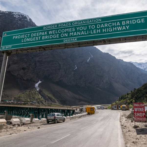
Manali to Leh Highway 2026: Every Pass, Stop and Distance
Plan your Manali to Leh Highway journey in 2026 with a complete guide to major mountain passes, overnight stops, route highlights, and distance. Discover key stops like Jispa, Sarchu, and Pang, along with famous passes including Baralacha La and Tanglang La.
- Road Trips
- How to Reach
 Ladakh
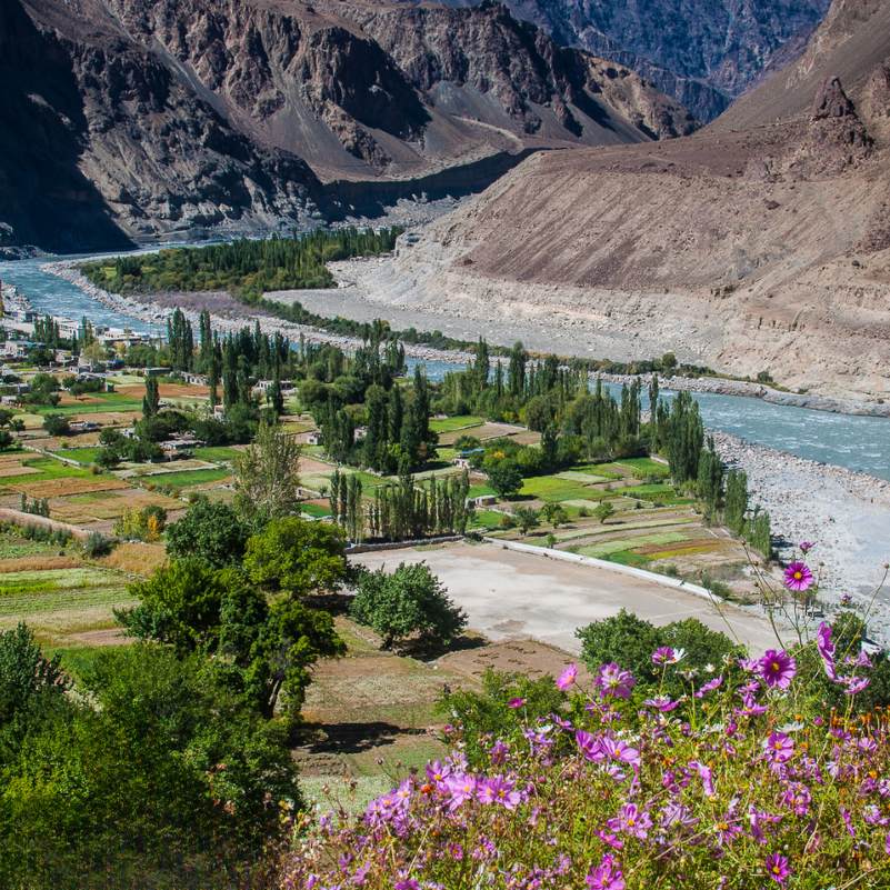
Turtuk Ladakh Travel Guide 2026: Balti Culture, Apricot Orchards and Why It Is Perfect for Families
Planning a trip to Turtuk? This 2026 travel guide explores the village's rich Balti culture, beautiful apricot orchards, top attractions, travel route, and why Turtuk is one of the best family-friendly destinations in Ladakh.
- Places to Visit
- Family Travel
 Ladakh
Offbeat Ladakh for Couples in 2026: Quiet Routes Beyond Pangong and Nubra
Looking for a peaceful Ladakh getaway? This 2026 guide explores quiet routes and hidden destinations beyond Pangong and Nubra, helping couples discover scenic landscapes, unique stays, and unforgettable offbeat experiences.
- Places to Visit
- Things to Do